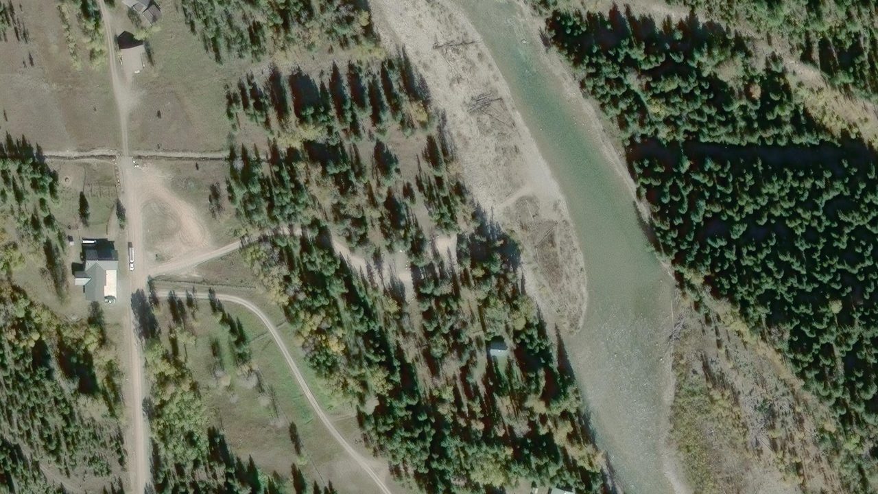
 Satellite · Esri, Maxar, Earthstar Geographics
36.0%
steepest grade on the route to the water
Parking area to the water
- Max grade
- 36.00%
- Max cross slope
- 6.80%
- Min tread width
- 5.9ft
- Hard surface
- 100.0%
Canadian Border River Access
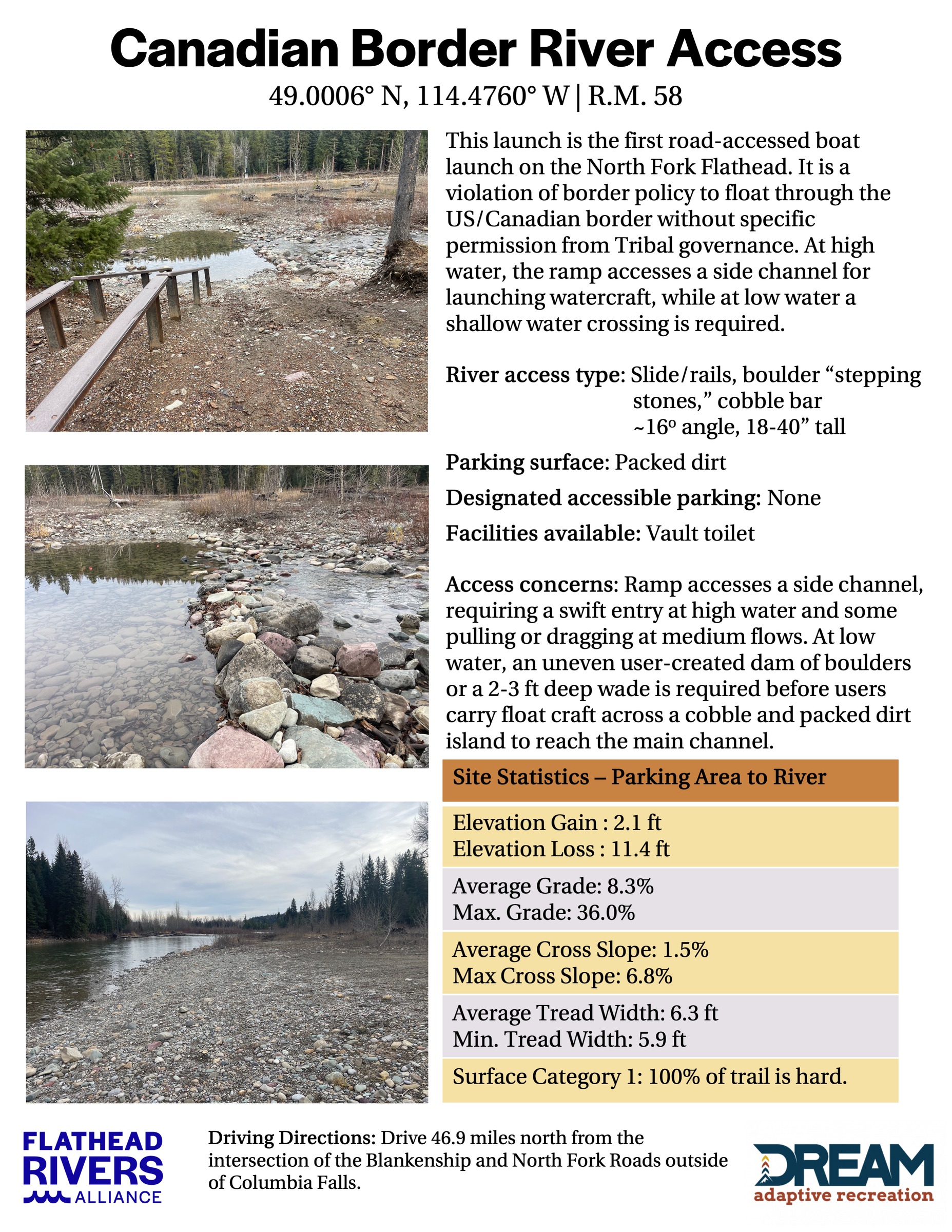
The first access point for the Wild and Scenic North Fork Flathead River. It is a violation of border policy to float through the US/Canadian border without specific permission from Tribal governance
The survey
FRA field survey| Measurement | Average | Worst case |
|---|---|---|
| Running grade | 8.30% | 36.00% |
| Cross slope | 1.50% | 6.80% |
| Tread width | 6.3ft | 5.9ft |
| Elevation change, parking to water | +2.1ft | -11.4ft |
Access concerns
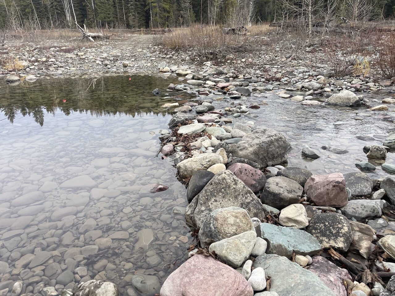
Verbatim from the survey- Ramp accesses a side channel, requiring a swift entry at high water and some pulling or dragging at medium flows.
- At low water, an uneven, user-created dam of boulders or a 2-3 ft deep wade is required before users carry float craft to the main channel.
Photographs
Terrain360 · July 2026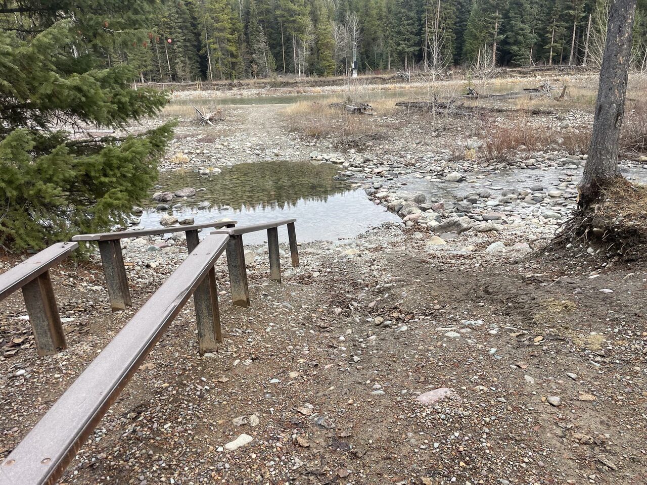
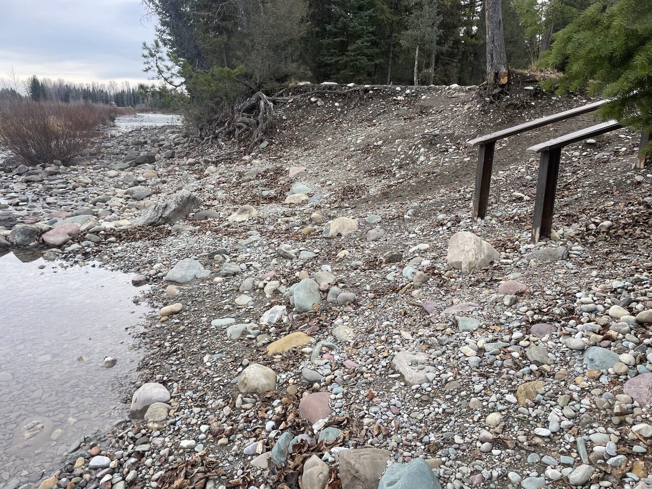
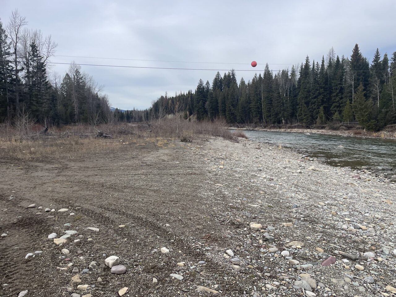
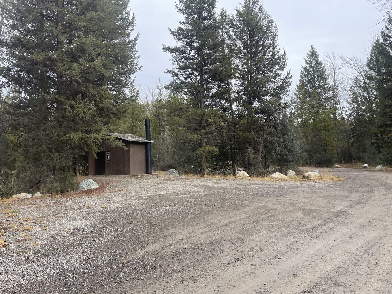
Field photography Terrain360, July 2026 · site photos courtesy Flathead Rivers Alliance
Getting there
Drive 46.9 miles north on the North Fork Road from its intersection with Blankenship Road outside Columbia Falls.
Access site lens
Supporting evidence · FRA access sheet · Jul 2026Derived from the 360 imagery, not measured on site. Where it disagrees with the survey above, the survey is correct.
Launch profile
- FRA access description
- Slide/rails, boulder “stepping stones,” cobble bar ~16° angle, 18-40” tall
- Kayaks + canoes
- Marginal
- Paddleboards
- Marginal
- Carry to the water
- 150–300 ft
- Carry terrain
- Flat unpaved
- Carry obstacles
- Rocks, mud
Safety + condition
- Safety interpretation
- Fair
- Overall condition
- Fair
- Access hazards
- Unstable footing · Submerged hazards likely
- Water obstacles
- Rocks
- Deferred maintenance signal
- Not observed
Accessibility observations
- Mobility device interpretation
- Not suitable
- Designated accessible parking
- None
- Route shown in sheet
- Not observed
- Route obstacles
- Steep grades, rough surface
- Observed barriers
- Steep grades, rough surfaces, no curb cuts
- Accessible water feature
- Not observed
Visitor management
- Parking estimate
- Not assessable from the source imagery
- Simultaneous launch capacity
- Single
- Launch queue evidence
- None
- Designated camping indicated
- Not observed
- Registration infrastructure
- None identified in the source sheet
Experience indicators
- Setting
- Semi primitive
- Recreation character
- Lightly managed
- Development in view
- Minor
- Social trails
- Isolated
- Informal campsite evidence
- Not observed
- Use-conflict evidence
- None observed in the source
Recreation profile
- Observed recreation
- Paddling, fishing shore, wildlife viewing
- Water skill interpretation
- Intermediate
- Physical ability interpretation
- Moderate
- Wear patterns
- Light
- Heavy-use signals
- Bare soil
- Privacy
- Secluded
Curated RAPG fields are interpreted from the FRA access sheet and its photographs. Conditions may extend beyond the photographed views. FRA’s field measurements in the Measured access card remain the authority for access type, grades, widths, surfaces, gaps, and accessible parking.
Neighbor sites
The river flows this way →The international crossing at this access is closed. Plan your float on the U.S. side of the boundary. FRA Canadian Border access sheet.
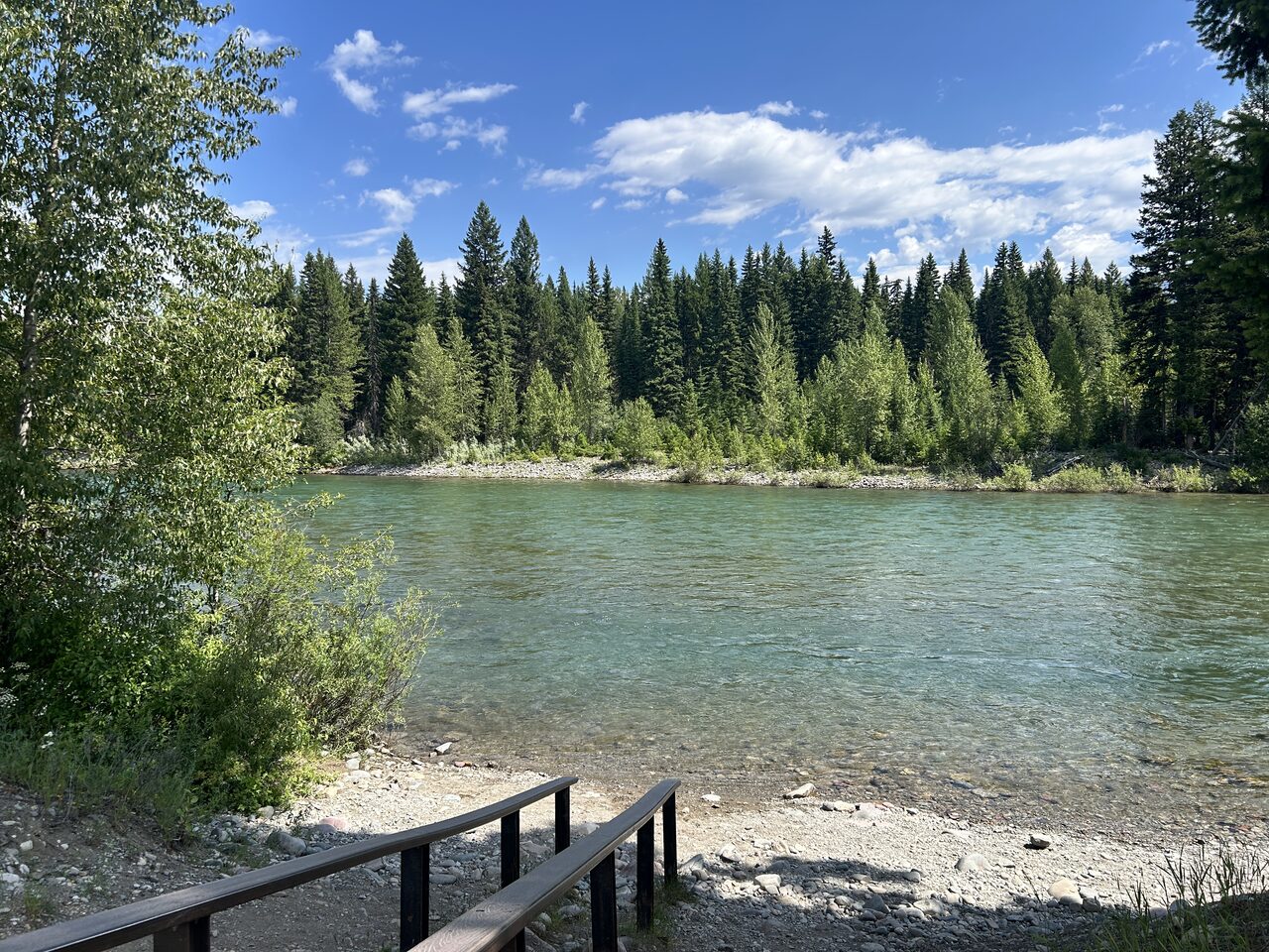 Downstream take-out ›
Ford River Access
Downstream take-out ›
Ford River Access
 Wurtz
Position approximate · river mile not yet measured
Scene 2 · at the water
Wurtz
Position approximate · river mile not yet measured
Scene 2 · at the water
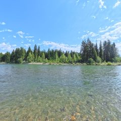 Ford
RM 44 · 3,712 ft
Scene 12 · at the water
Ford
RM 44 · 3,712 ft
Scene 12 · at the water
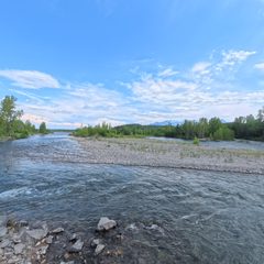 Polebridge River Access (Upstream)
RM 33.9 · 3,544 ft
Scene 11 · at the water
Polebridge River Access (Upstream)
RM 33.9 · 3,544 ft
Scene 11 · at the water
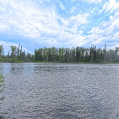 Coal Creek
RM 24.5 · 3,419 ft
Scene 10 · at the water
Coal Creek
RM 24.5 · 3,419 ft
Scene 10 · at the water
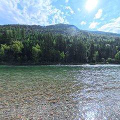 Big Creek
RM 15.3 · 3,313 ft
Scene 9 · at the water
Big Creek
RM 15.3 · 3,313 ft
Scene 9 · at the water
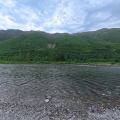 Great Northern Flats
RM 11 · 3,264 ft
Scene 11 · at the water
Great Northern Flats
RM 11 · 3,264 ft
Scene 11 · at the water
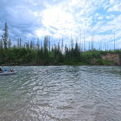 Glacier Rim
RM 3.8 · 3,152 ft
Scene 16 · at the water
Glacier Rim
RM 3.8 · 3,152 ft
Scene 16 · at the water
The river system flows through the traditional homelands of the Ql'ispe (Kalispel or Pend d' Orielle) Ktunaxa/Ksanka (Kootenai), and Séliš (Salish or "Flathead") Nations, who have long cared for this landscape, and the Amskapii Pikuni (Blackfeet) Peoples who often traveled in the river corridor.
About the homelands FRA's own acknowledgment language appears here verbatim.