North Fork
Holding1,150cfs
7 DAY MIN 1,150 · MAX 1,340
119% OF NORMAL · 85 YR MEDIAN 965 CFS
Clear, 48°, wind 1 mph at Polebridge
Runnable, Class II
USGS 12355500 (opens in a new tab) · WATER 54°F
Distances come from the river miles FRA recorded at each access, so they are exact. Times are not: they move with flow, wind, and what you are paddling. Everything below reads live off the gauges and is set against the long-term normal for today's date.
1,150cfs
7 DAY MIN 1,150 · MAX 1,340
119% OF NORMAL · 85 YR MEDIAN 965 CFS
Clear, 48°, wind 1 mph at Polebridge
Runnable, Class II
USGS 12355500 (opens in a new tab) · WATER 54°F
1,150cfs
7 DAY MIN 1,150 · MAX 1,460
162% OF NORMAL · 85 YR MEDIAN 711 CFS
Clear, 53°, wind 5 mph at Essex
High, the whitewater section is pushy
679cfs
7 DAY MIN 679 · MAX 999
164% OF NORMAL · 52 YR MEDIAN 414 CFS
Clear, 50°, wind 2 mph at Hungry Horse
Above Twin Creek · designated South Fork
USGS 12359800 (opens in a new tab) · WATER 53°F
Seasonal USGS station: streamflow April 1–October 31; water temperature June 1–September 30.
The camera looks at the same water as the West Glacier access at RM 14.9, just downstream of the USGS gauge. The gauge tells you the flow. This tells you what the flow looks like: how much cobble is showing, whether the bank is under, what the light is doing.
There is no USGS camera on the Three Forks. The nearest on that network is 114 miles away in Idaho, so this Park Service view is the only live picture of this river.
Image courtesy National Park Service, Glacier National Park
53°
Air temperature is not water temperature. These forks run off snow and ice, the water sits in the 50s all summer, and cold water is what catches people out on a warm day.
Nothing active for the corridor.
NWS active alerts · West Glacier point
| Incident | Distance | Acres | Contained |
|---|---|---|---|
| Silvertip | 34mi | 7,280 | 100% |
| Skillet | 59mi | 3,414 | 100% |
| Camp Creek | 63mi | 9,725 | 100% |
| Bison Range BR2F RX | n/a | n/a | n/a |
26AQI
Good
OPEN-METEO · US AQI
There is no live feed for restriction stages. Check current restrictions with Flathead National Forest before your trip.
Flathead NF alerts and noticesClosures appear on FRA's river alerts page first.
FRA river alerts and trip planning1,150 CFS · NEAR NORMAL Typical summer water for the date.
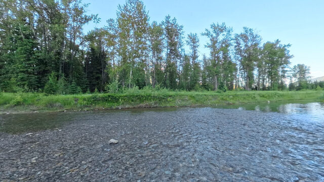
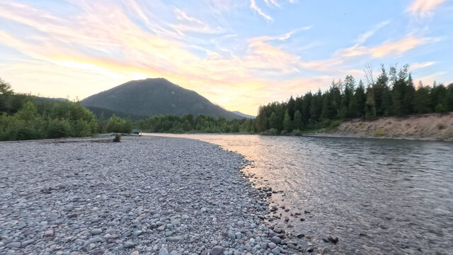
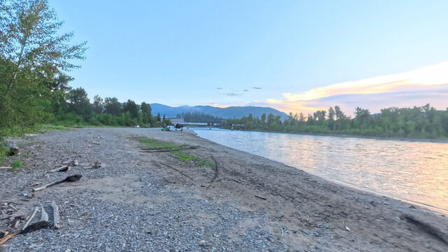
Elevation sampled from USGS 10m along the Wild & Scenic centerline. Hover or focus a site to see the panorama closest to the water.
| Reach | Distance | Est. time | Drop | Ft/mi | At 1,150 | Character |
|---|---|---|---|---|---|---|
| Canadian Border Ford RM 58 to 44 | 14.0mi | 4-7 hr | 261ft | 18.6 | Runnable | Class II |
| Ford Schnaus Cabin RM 44 to 39.3 | 4.7mi | 1¼-2¼ hr | 91ft | 19.3 | Runnable | Class II |
| Schnaus Cabin Polebridge River Access (Upstream) RM 39.3 to 33.9 | 5.4mi | 1½-2¾ hr | 77ft | 14.2 | Runnable | Class II |
| Polebridge River Access (Downstream) Coal Creek RM 33.8 to 24.5 | 9.3mi | 2¾-4¾ hr | 123ft | 13.3 | Runnable | Class II |
| Coal Creek Big Creek RM 24.5 to 15.3 | 9.2mi | 2¾-4½ hr | 106ft | 11.5 | Runnable | Class II |
| Big Creek Great Northern Flats RM 15.3 to 11 | 4.3mi | 1¼-2¼ hr | 49ft | 11.3 | Runnable | Class II |
| Great Northern Flats Glacier Rim RM 11 to 3.8 | 7.2mi | 2-3½ hr | 112ft | 15.6 | Runnable | Class II |
Launch descriptions are interpreted from FRA's access sheets and their photographs, not measured here. The measured ramp gaps, grades and surfaces are on each site page. Drop is read from the fork's long profile between the two river miles.
1,150 CFS · RUNNING HIGH Pushy water and faster reaches, with fewer places to stop. Wood moves at these levels.
Elevation sampled from USGS 10m along the Wild & Scenic centerline. Hover or focus a site to see the panorama closest to the water.
| Reach | Distance | Est. time | Drop | Ft/mi | At 1,150 | Character |
|---|---|---|---|---|---|---|
| Bear Creek Essex RM 53.4 to 48.7 | 4.7mi | 1-2 hr | 118ft | 25.1 | High, pushy | Class II-IV |
| Essex Paola RM 48.7 to 41.6 | 7.1mi | 1½-2¾ hr | 133ft | 18.7 | High, pushy | Class II-IV |
| Paola Cascadilla RM 41.6 to 30.6 | 11.0mi | 2½-4½ hr | 190ft | 17.3 | High, pushy | Class II-IV |
| Cascadilla Moccasin Creek RM 30.6 to 23 | 7.6mi | 1¾-3 hr | 100ft | 13.1 | High, pushy | Class II-IV |
| Moccasin Creek West Glacier RM 23 to 14.9 | 8.1mi | 1¾-3¼ hr | 132ft | 16.2 | High, pushy | Class III-IV · the whitewater section |
| West Glacier Blankenship River Access (West) RM 14.9 to 9.5 | 5.4mi | 1¼-2¼ hr | 49ft | 9 | High, pushy | Class II-IV |
Launch descriptions are interpreted from FRA's access sheets and their photographs, not measured here. The measured ramp gaps, grades and surfaces are on each site page. Drop is read from the fork's long profile between the two river miles.
679 CFS · DAM RELEASE Below Hungry Horse Dam this figure tracks the release schedule, not the weather. It can change fast and without warning.
Elevation sampled from USGS 10m along the Wild & Scenic centerline. Hover or focus a site to see the panorama closest to the water.
| Reach | Distance | Est. time | Drop | Ft/mi | At 679 | Character |
|---|---|---|---|---|---|---|
| Cedar Flats South Fork RM 55.8 to 46.5 | 9.3mi | 2-3¾ hr | 131ft | 14 | High, pushy | Class II |
| South Fork Billy Garrett Memorial Bridge RM 46.5 to 44.6 | 1.9mi | ½-¾ hr | 22ft | 11.7 | High, pushy | Class II |
| Billy Garrett Memorial Bridge Upper Twin Creek RM 44.6 to 40.8 | 3.8mi | ¾-1½ hr | 39ft | 10.2 | High, pushy | Class II |
Launch descriptions are interpreted from FRA's access sheets and their photographs, not measured here. The measured ramp gaps, grades and surfaces are on each site page. Drop is read from the fork's long profile between the two river miles.
How the time column is figured: distance divided by a travel band that shifts with today's flow against the day-of-year median. It is an estimate, not a schedule, and it does not count the time you spend stopped. A loaded raft is slower than a kayak. Class ratings are each fork's overall rating and change with water level. The distances are exact.
Class II water on the North Fork and most of the Middle Fork. The water stays cold all summer, so dress for immersion, not for the air.
Eddies wash out and the current gives you fewer places to recover. Wood moves at these levels. Scout anything you have not run this season.
Fast, cold water with real consequence for a swim. Launches can wash out and the Forest Service may gate access. Conditions change rapidly.
The river environment is dynamic and may change rapidly over the course of the floating season, or even throughout the course of a day. Always recreate within the ability level of everyone in your float party and remain attentive to conditions on the water.
These forks are snowmelt and stay cold all summer. Cold shock and loss of grip arrive long before hypothermia does. Dress for the water, not the air.
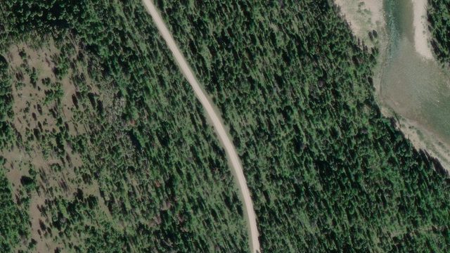
Most reaches here need two vehicles or an outfitter. Highway 2 parallels the Middle Fork, so shuttles are short. The North Fork Road is gravel and slow: budget more time than the mileage suggests.
The South Fork below Hungry Horse Dam runs on releases, not weather. It can change fast, for reasons that have nothing to do with the sky. Read that gauge the morning you go.
This is fire country. August smoke is a real trip factor and closures happen with little notice. Active incidents within 75 miles show above and on each fork page.
The Flathead Rivers Alliance keeps a trip-planning hub with alerts, gear, outfitters, and current conditions.
The river system flows through the traditional homelands of the Ql'ispe (Kalispel or Pend d' Orielle) Ktunaxa/Ksanka (Kootenai), and Séliš (Salish or "Flathead") Nations, who have long cared for this landscape, and the Amskapii Pikuni (Blackfeet) Peoples who often traveled in the river corridor.
About the homelands FRA's own acknowledgment language appears here verbatim. Wurtz
Position approximate · river mile not yet measured
Scene 2 · at the water
Wurtz
Position approximate · river mile not yet measured
Scene 2 · at the water
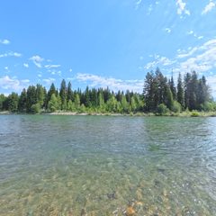 Ford
RM 44 · 3,712 ft
Scene 12 · at the water
Ford
RM 44 · 3,712 ft
Scene 12 · at the water
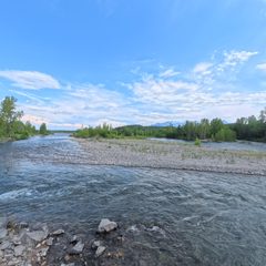 Polebridge River Access (Upstream)
RM 33.9 · 3,544 ft
Scene 11 · at the water
Polebridge River Access (Upstream)
RM 33.9 · 3,544 ft
Scene 11 · at the water
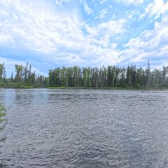 Coal Creek
RM 24.5 · 3,419 ft
Scene 10 · at the water
Coal Creek
RM 24.5 · 3,419 ft
Scene 10 · at the water
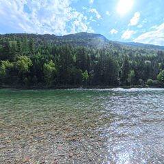 Big Creek
RM 15.3 · 3,313 ft
Scene 9 · at the water
Big Creek
RM 15.3 · 3,313 ft
Scene 9 · at the water
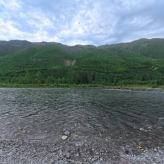 Great Northern Flats
RM 11 · 3,264 ft
Scene 11 · at the water
Great Northern Flats
RM 11 · 3,264 ft
Scene 11 · at the water
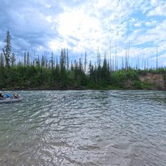 Glacier Rim
RM 3.8 · 3,152 ft
Scene 16 · at the water
Glacier Rim
RM 3.8 · 3,152 ft
Scene 16 · at the water
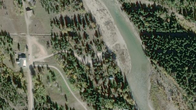
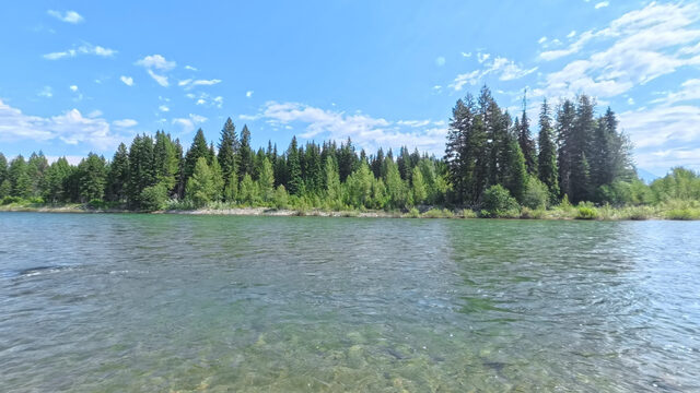
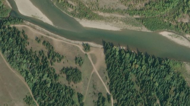
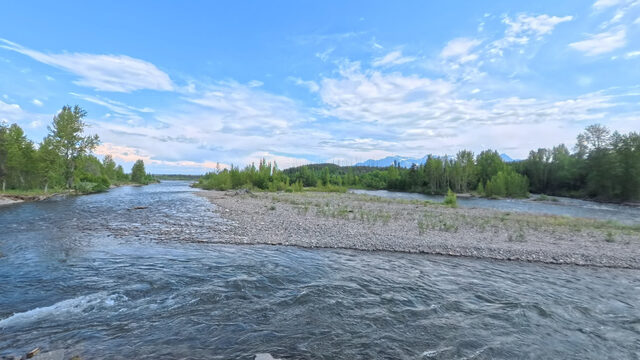
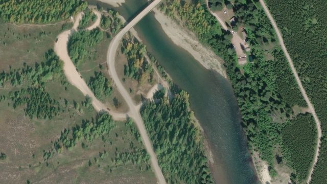
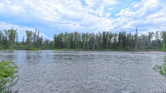
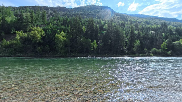
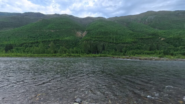
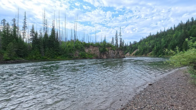
 Bear Creek
RM 53.4 · 3,822 ft
Scene 18 · at the water
Bear Creek
RM 53.4 · 3,822 ft
Scene 18 · at the water
 Essex
RM 48.7 · 3,704 ft
Scene 26 · at the water
Essex
RM 48.7 · 3,704 ft
Scene 26 · at the water
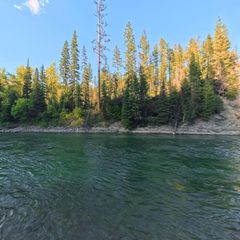 Paola
RM 41.6 · 3,571 ft
Scene 19 · at the water
Paola
RM 41.6 · 3,571 ft
Scene 19 · at the water
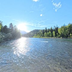 Cascadilla
RM 30.6 · 3,381 ft
Scene 20 · at the water
Cascadilla
RM 30.6 · 3,381 ft
Scene 20 · at the water
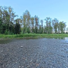 Moccasin Creek
RM 23 · 3,281 ft
Scene 29 · at the water
Moccasin Creek
RM 23 · 3,281 ft
Scene 29 · at the water
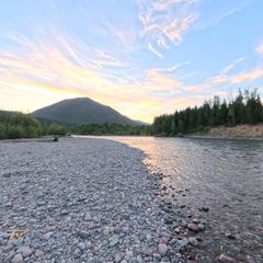 West Glacier
RM 14.9 · 3,150 ft
Scene 22 · at the water
West Glacier
RM 14.9 · 3,150 ft
Scene 22 · at the water
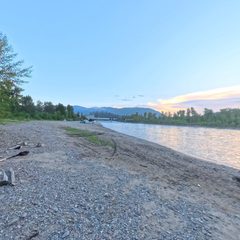 Blankenship River Access (West)
RM 9.5 · 3,101 ft
Blankenship River Access (West)
RM 9.5 · 3,101 ft
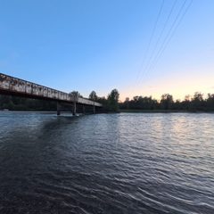 Blankenship River Access (East)
RM 9.4 · 3,100 ft
Scene 11 · at the water
Blankenship River Access (East)
RM 9.4 · 3,100 ft
Scene 11 · at the water