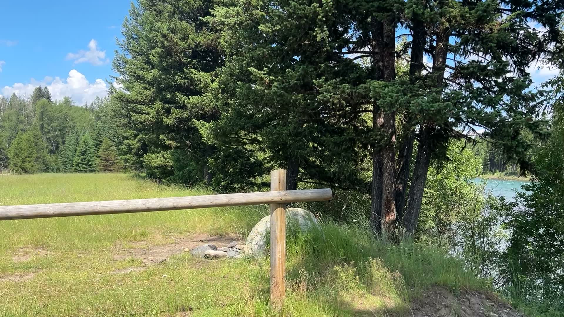
Experience each access site before you arrive.
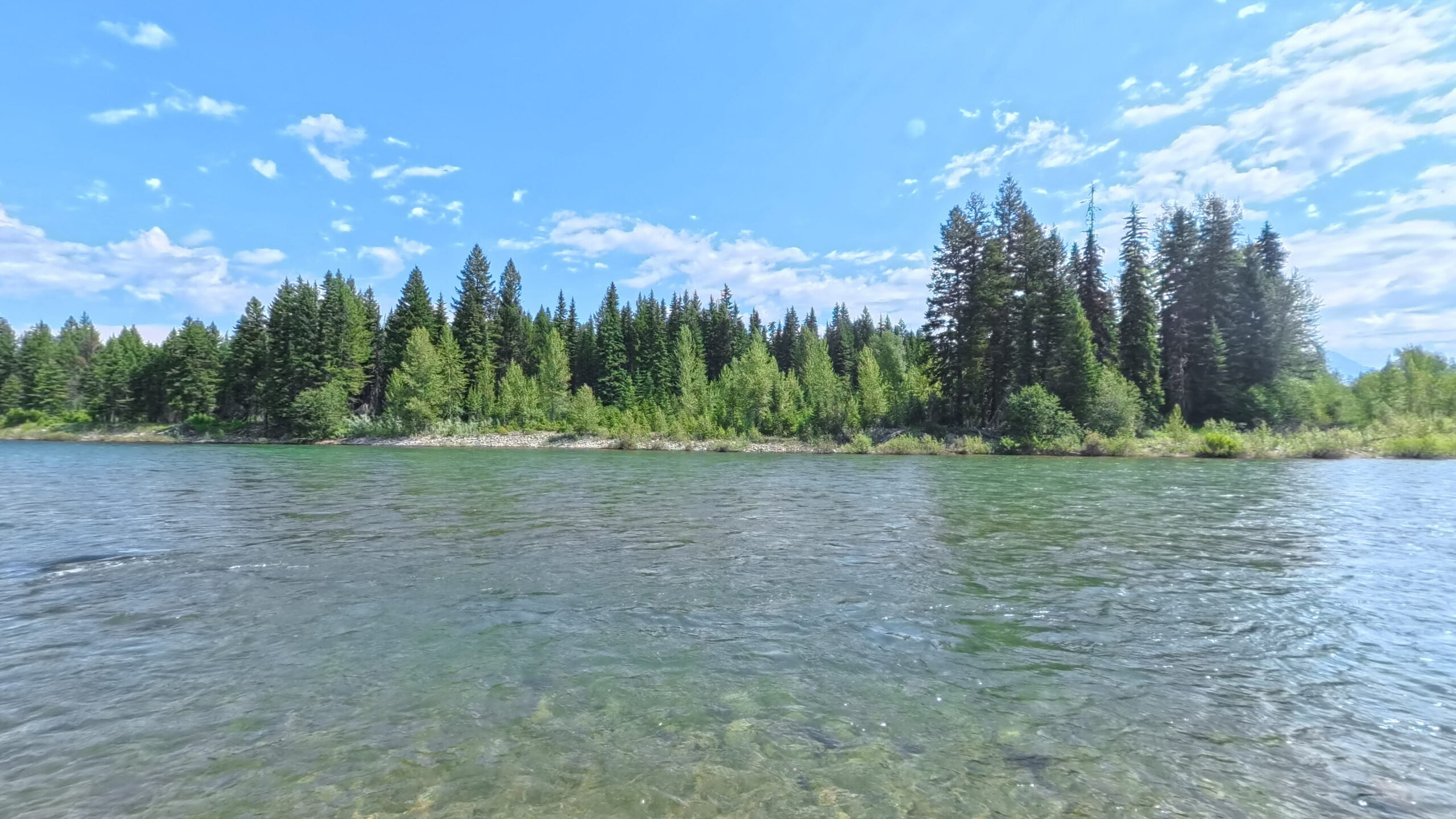
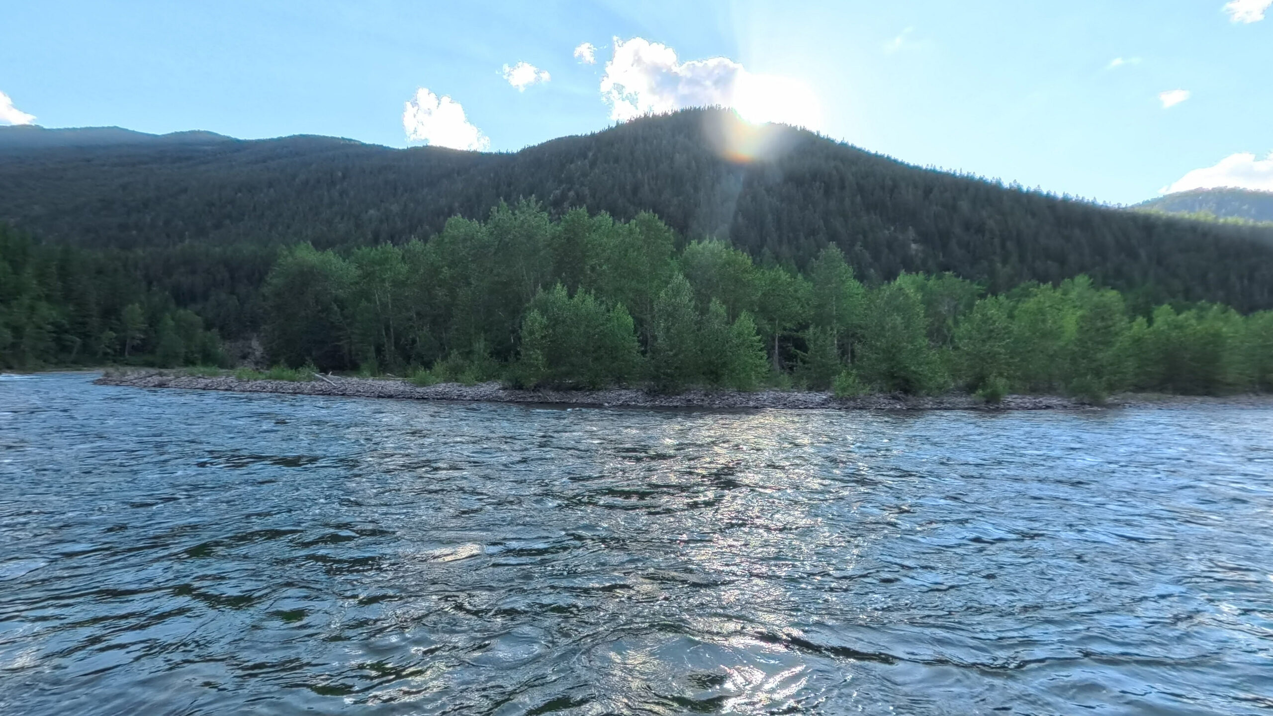
Explore 25 river access sites, 17 photographed from the water in 360 degrees by Terrain360. Field information comes from Flathead Rivers Alliance and DREAM Adaptive Recreation, Inc.’s ongoing collaboration, Removing Barriers for River Accessibility. See the site, ramp gap, grade, tread width, and surface information available before you arrive.
Choose your fork
Each fork is its own river. River miles descend as you float downstream, and every rail on this site is drawn to scale.
Designation and river miles
3 OUTSIDE DESIGNATION · 1 RIVER MILE PENDINGThree fork rails drawn at one shared scale, one designated mile to a fixed share of the width. The North Fork's 58.3 designated miles end where it joins the Middle Fork at Blankenship. The Middle Fork's 100.6 designated miles end at the South Fork confluence; past that terminus the main stem Flathead is undesignated and drawn not to scale, with Hungry Horse HWY 2 Bridge and House of Mystery on it. The South Fork's 60 designated miles end at the head of Hungry Horse Reservoir, and the designated water below RM 40.7 has no access site. Reservoir Road Below Dam sits below the dam on undesignated tailwater, also not to scale. Wurtz sits on designated North Fork water between Canadian Border and Ford; its river mile has not been measured, so its position is approximate.
Wurtz is on the designated North Fork of the Flathead. Its river mile has not yet been measured, so it holds an approximate place on the rail until that measurement is available. Three access sites in this guide are outside the Wild and Scenic designation. Hungry Horse HWY 2 Bridge and House of Mystery sit on the main stem below the confluence. Reservoir Road Below Dam sits on the South Fork below Hungry Horse Dam, where dam releases set the flow.
The Three Forks of the Flathead River provided the initial inspiration for the Wild and Scenic Rivers Act and in 1968 Congress passed the act that would ultimately protect waterways across the country.
219 miles of the North, Middle, and South Forks are designated today. Through this guide you will be introduced to them, gain a better understanding of access, river flows, and information about the organization working to protect this river system.
Every access site
Open the full indexAll 25 launches, grouped by river and in river order, with available field information from the Alliance. 3 sites are outside the Wild and Scenic designation. Wurtz is on designated North Fork water with its river mile pending.
| RM | Access site | River | Min tread | Max grade | Survey |
|---|---|---|---|---|---|
| 58 |
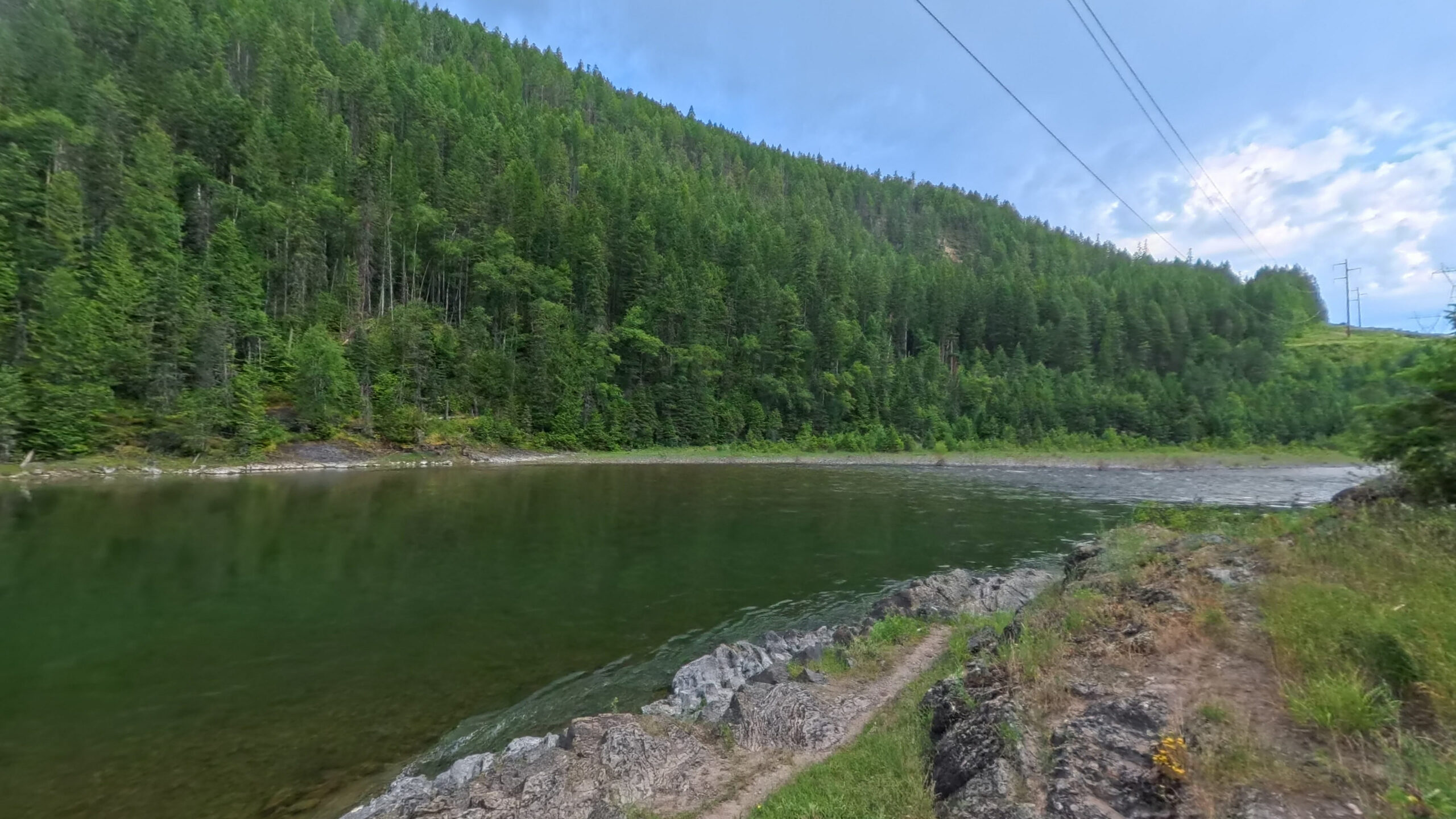
 Canadian Border
|
North Fork | 5.9ft | 36% | Measured |
| 44 |
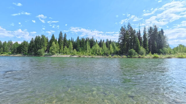 Ford
Ford
|
North Fork | 6ft | 38.2% | Measured |
| 39.3 |
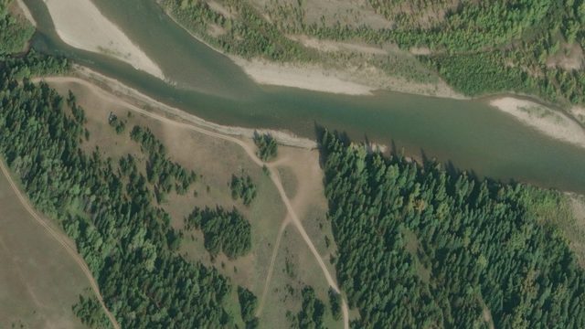 Schnaus Cabin
|
North Fork | n/a | n/a | Sheet, no statistics |
| 33.9 |
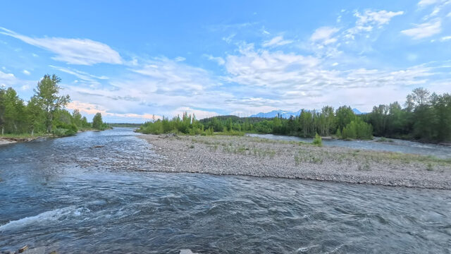 Polebridge River Access (Upstream)
|
North Fork | 4.5ft | 24.6% | Measured |
| 33.8 |
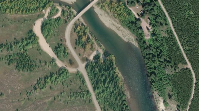 Polebridge River Access (Downstream)
|
North Fork | 14.2ft | 19.8% | Measured |
| 24.5 |
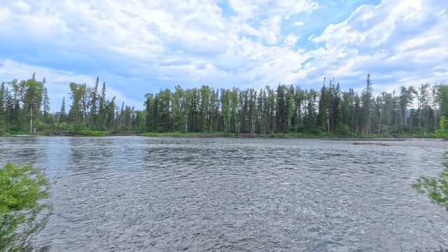 Coal Creek
|
North Fork | n/a | n/a | Sheet, no statistics |
| 15.3 |
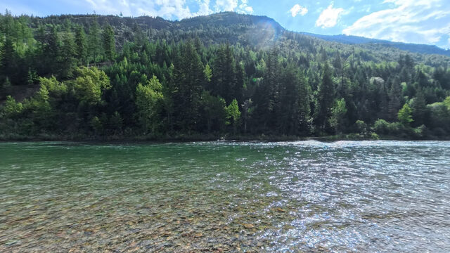 Big Creek
|
North Fork | 6ft | 15.3% | Measured |
| 11 |
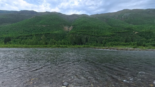 Great Northern Flats
|
North Fork | 3ft | 25.9% | Measured |
| 3.8 |
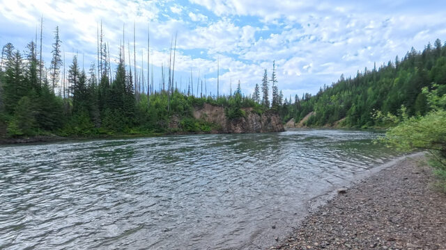 Glacier Rim
|
North Fork | 3ft | 16.1% | Measured |
| River mile pending |
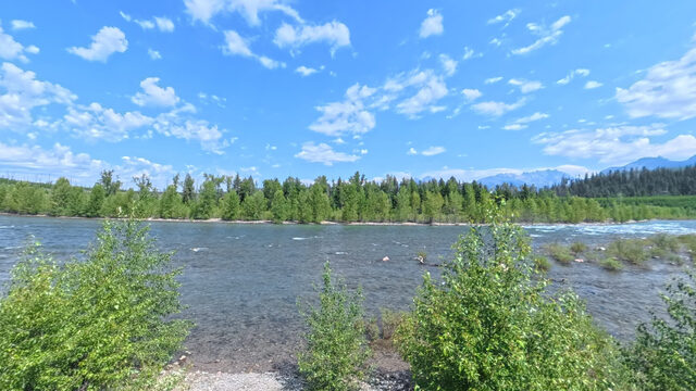 Wurtz
Wurtz
|
North Fork | n/a | n/a | No sheet published |
| 53.4 |
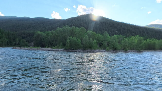 Bear Creek
|
Middle Fork | 4.2ft | 37% | Measured |
| 48.7 |
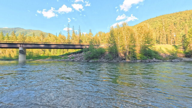 Essex
Essex
|
Middle Fork | 25ft | 10.8% | Measured |
| 41.6 |
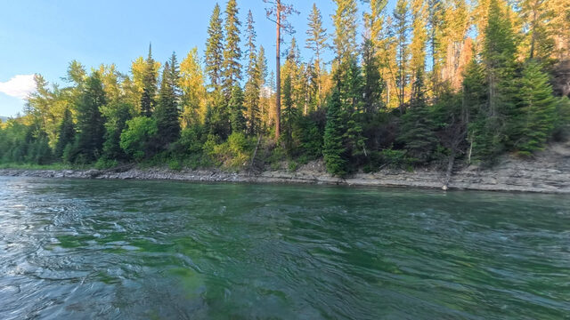 Paola
Paola
|
Middle Fork | 3.8ft | 16% | Measured |
| 30.6 |
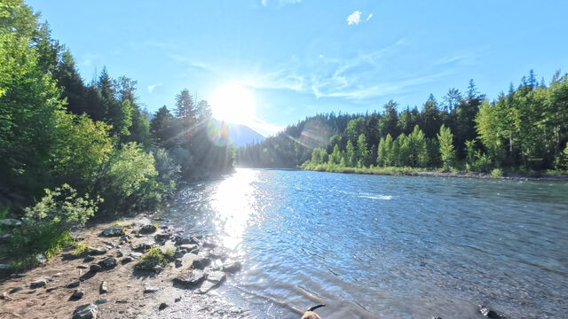 Cascadilla
|
Middle Fork | 12ft | 12.6% | Measured |
| 23 |
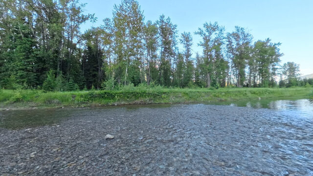 Moccasin Creek
|
Middle Fork | n/a | n/a | Sheet, no statistics |
| 14.9 |
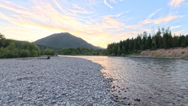 West Glacier
|
Middle Fork | n/a | n/a | Sheet, no statistics |
| 9.5 |
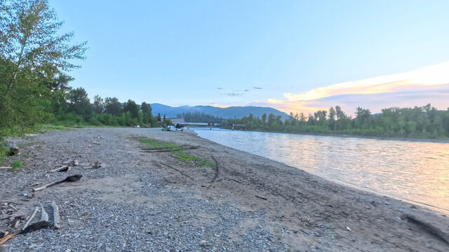 Blankenship River Access (West)
|
Middle Fork | n/a | n/a | Sheet, no statistics |
| 9.4 |
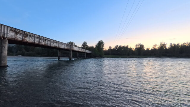 Blankenship River Access (East)
|
Middle Fork | n/a | n/a | Sheet, no statistics |
| No Wild and Scenic river mile |
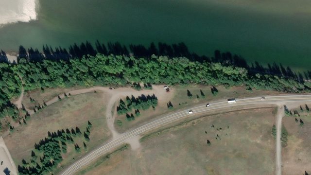 House of Mystery
|
Main stem | n/a | n/a | Sheet, no statistics |
| 55.5 |
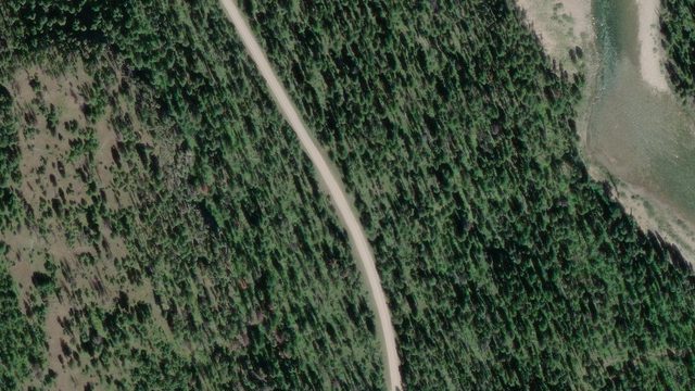 Cedar Flats
|
South Fork | n/a | n/a | Sheet, no statistics |
| 46.5 |
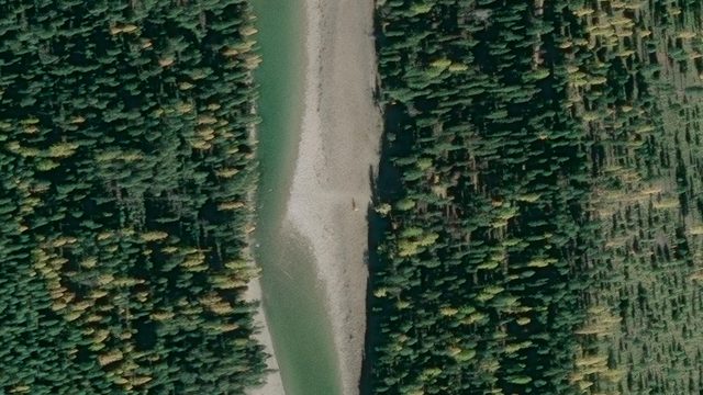 South Fork
|
South Fork | n/a | n/a | Sheet, no statistics |
| 44.5 |
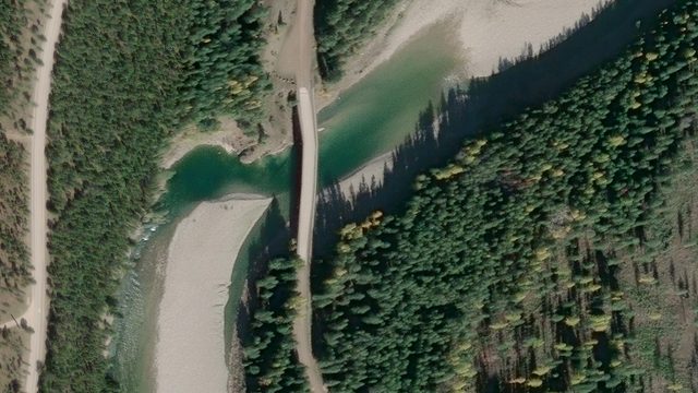 Billy Garrett Memorial Bridge
|
South Fork | n/a | n/a | Sheet, no statistics |
| 40.7 |
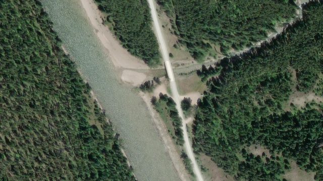 Upper Twin Creek
|
South Fork | n/a | n/a | Sheet, no statistics |
| No Wild and Scenic river mile |
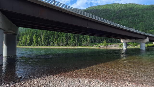 Hungry Horse HWY 2 Bridge
|
South Fork, below dam | n/a | n/a | No sheet published |
| No Wild and Scenic river mile |
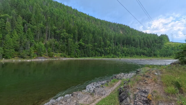 Reservoir Road River Boat Launch Below Dam
|
South Fork, below dam | n/a | n/a | No sheet published |
11 launches carry FRA's full field measurements, 11 have a survey sheet that says the statistics are not available yet, and 3 have no sheet published. Ramp gap is not a column here: it has only ever been measured at Cascadilla, and it is on that launch's own page.
Flathead Rivers Alliance (FRA) surveyed access sites through its ongoing collaboration with DREAM Adaptive Recreation (DREAM). FRA secured grants to fund this access project and worked with local, state, and federal agencies to improve accessibility. Terrain360 photographed 17 of this guide’s 25 access sites from the water in 360 degrees. DREAM advocated for access for all users and connected the partners so that any river user can use the available data and images to make decisions for themselves.
River access sites are maintained by their responsible agencies and land managers, including the U.S. Forest Service and National Park Service. FRA volunteers give their time to river education, safety and stewardship, while FRA works with partners to improve access. Donations and volunteer support help sustain this work.
The river system flows through the traditional homelands of the Ql'ispe (Kalispel or Pend d' Orielle) Ktunaxa/Ksanka (Kootenai), and Séliš (Salish or "Flathead") Nations, who have long cared for this landscape, and the Amskapii Pikuni (Blackfeet) Peoples who often traveled in the river corridor.
About the homelands