North Fork
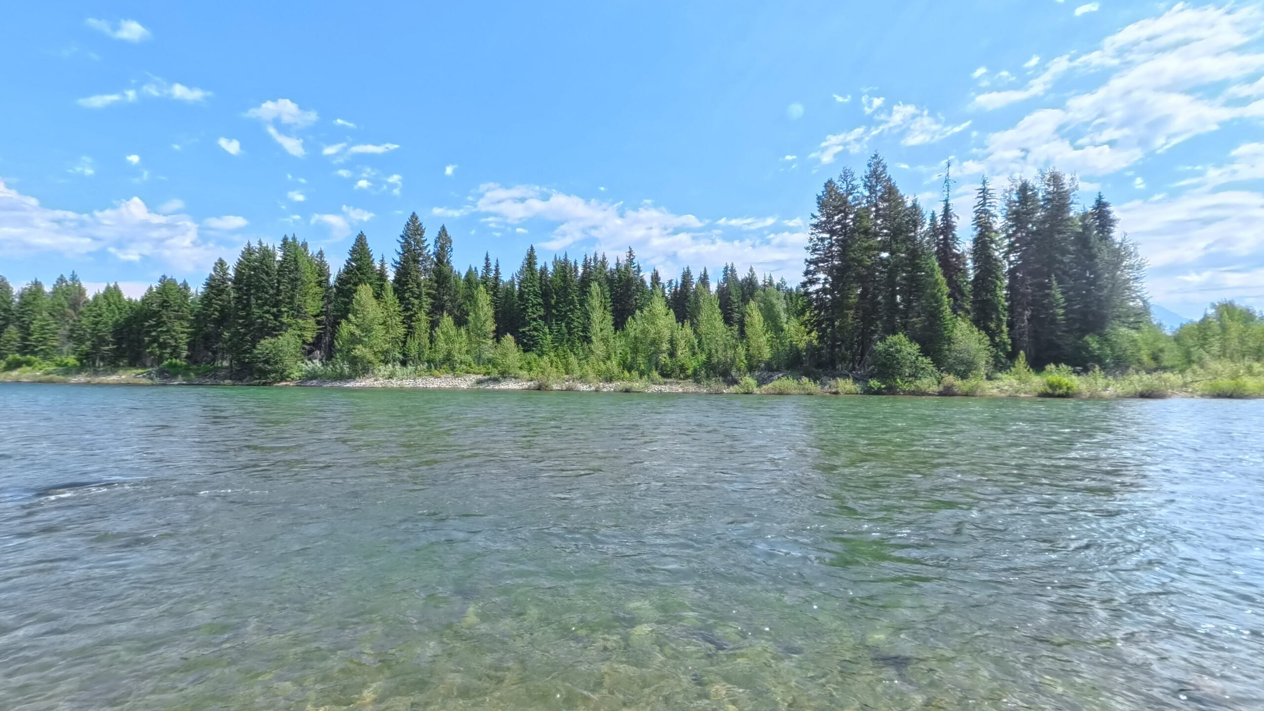
Fifty-eight designated miles from the Canadian border down to Blankenship, most of it along a gravel road on the Glacier boundary. Scenic above the Camas Road bridge, Recreational below it. Generally Class II at summer flows.
Wind 1 mph NE
- MO 79° 51° Mon: high 79 degrees, low 51 degrees, Clear.
- TU 76° 47° Tue: high 76 degrees, low 47 degrees, Overcast.
- WE 68° 43° Wed: high 68 degrees, low 43 degrees, Overcast.
- TH 75° 41° Thu: high 75 degrees, low 41 degrees, Overcast.
- FR 73° 49° 31% Fri: high 73 degrees, low 49 degrees, Showers, 31 percent chance of precipitation.
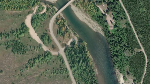
58.3 miles, site by site
872 ft of drop · 14.9 ft per mile Wurtz
Position approximate · river mile not yet measured
Scene 2 · at the water
Wurtz
Position approximate · river mile not yet measured
Scene 2 · at the water
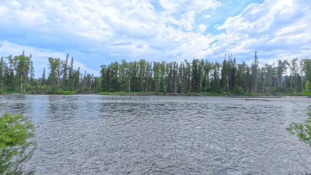
 Ford
RM 44 · 3,712 ft
Scene 12 · at the water
Ford
RM 44 · 3,712 ft
Scene 12 · at the water
 Polebridge River Access (Upstream)
RM 33.9 · 3,544 ft
Scene 11 · at the water
Polebridge River Access (Upstream)
RM 33.9 · 3,544 ft
Scene 11 · at the water
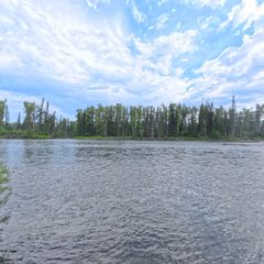 Coal Creek
RM 24.5 · 3,419 ft
Scene 10 · at the water
Coal Creek
RM 24.5 · 3,419 ft
Scene 10 · at the water
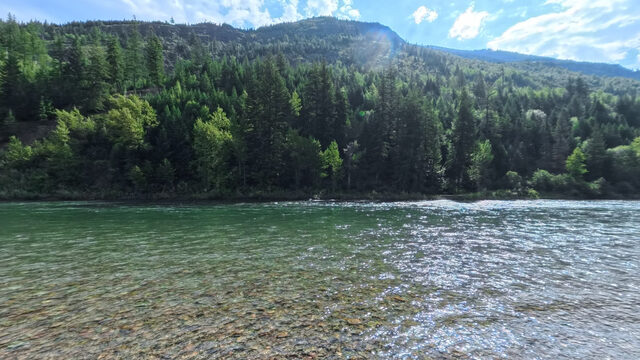
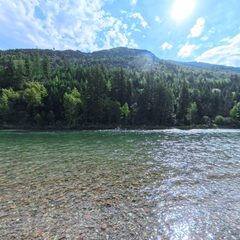 Big Creek
RM 15.3 · 3,313 ft
Scene 9 · at the water
Big Creek
RM 15.3 · 3,313 ft
Scene 9 · at the water
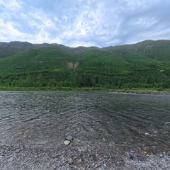 Great Northern Flats
RM 11 · 3,264 ft
Scene 11 · at the water
Great Northern Flats
RM 11 · 3,264 ft
Scene 11 · at the water
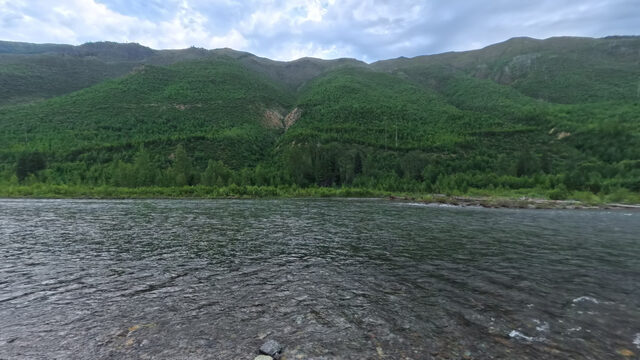
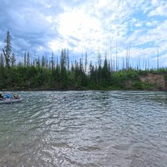 Glacier Rim
RM 3.8 · 3,152 ft
Scene 16 · at the water
Glacier Rim
RM 3.8 · 3,152 ft
Scene 16 · at the water
Elevation sampled from USGS 10m along the Wild & Scenic centerline. Hover or focus a site to see the panorama closest to the water.
Wild and Scenic designation
The Wild and Scenic North Fork of the Flathead is designated for 58.3 river miles, from the Canadian Border to its confluence with the Middle Fork Flathead at Blankenship, but begins 31 miles upstream in Ktunaxa Nation, British Columbia, Canada. The river is designated Scenic from the Canadian Border to the Camas Road entrance to Glacier National Park, and Recreational from the Camas Road bridge to its confluence with the Middle Fork. The North Fork is generally Class II during summer recreational flows, though specific features may present higher risks at certain levels.
Designation language from the Flathead Rivers Alliance
The access picture
9 FRA sheets · 9 reviewed assessmentsChoose by surface, slope and room to assist. Access needs vary with your mobility, equipment, companions and the water level. Use the descriptions, measurements and photographs to plan the route that works for you.
Polebridge River Access (Upstream): A crushed-stone path leads to rip-rap steps and a pebble bar. Large step-ups and narrow tread can make assistance or carrying larger watercraft difficult. The pebble bar is unavailable at high water.
Polebridge River Access (Downstream): The packed-dirt launch ramp can be reached by vehicles. Watch for protruding stones in the ramp and the steep descent to the turnaround.
Big Creek: A wide packed-dirt ramp leads to a cobble bar. Embedded stones and large, rounded cobbles can affect footing and wheeled mobility even where there is room to assist.
Coal Creek: A packed-dirt ramp leads to a flat pebble-and-cobble bar on a side channel. Logs can restrict the launch, and water levels may require ferrying, lining or dragging boats. Engineering statistics are not available for this site yet; review its FRA description and imagery.
Glacier Rim: A wide concrete ramp reaches a cobble bar in an eddy. High-water cycles can leave sand or dirt on the ramp and change its cross slope, so check the surface and water level.
Field context from Geoffrey Gill, Flathead Rivers Alliance, and FRA access-site descriptions.
Source coverage
- Access sites
- 10
- Captured in 360
- 7
- FRA access sheets
- 9
- Reviewed assessments
- 9
- Panoramas assigned
- 86
Plan your support
Consider the whole route from parking to water. Check footing, grade, cross slope, gaps and the space beside the ramp for anyone assisting. Conditions can change with river levels and use by vehicles and trailers.
Missing measurements mean information is unavailable; they do not establish a barrier or an accessible route.
Measured extremes
- Gentlest route to the water
- 15.3% max grade · Big Creek
- Steepest
- 38.2% max grade · Ford
- Widest minimum tread
- 14.2 ft · Polebridge River Access (Downstream)
FRA field measurements, from the access survey sheets.
Coverage counts and interpretations summarize FRA's access sheets and the reviewed Terrain360 imagery assessment. Measured figures are FRA's field measurements; where the two disagree, the measurements are correct.
Access sites, upstream to down
7 of 10 captured in 360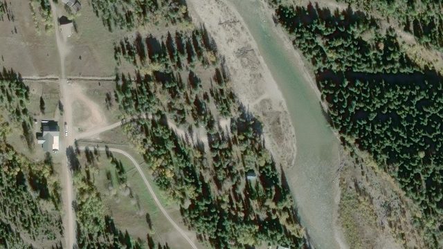
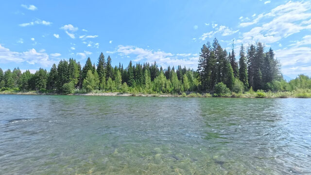
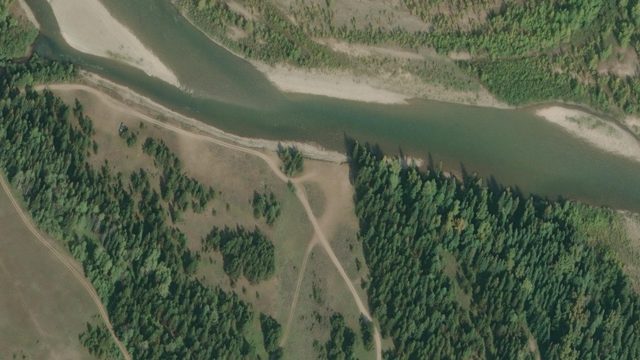
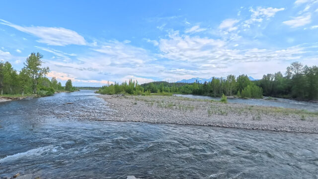
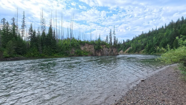
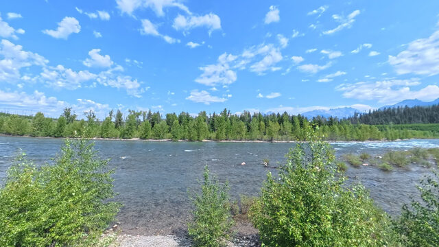
The road up
North Fork Road · July 2026The North Fork Road is gravel for most of its length and slower than the mileage suggests. Budget more time than the map tells you, especially with a trailer.
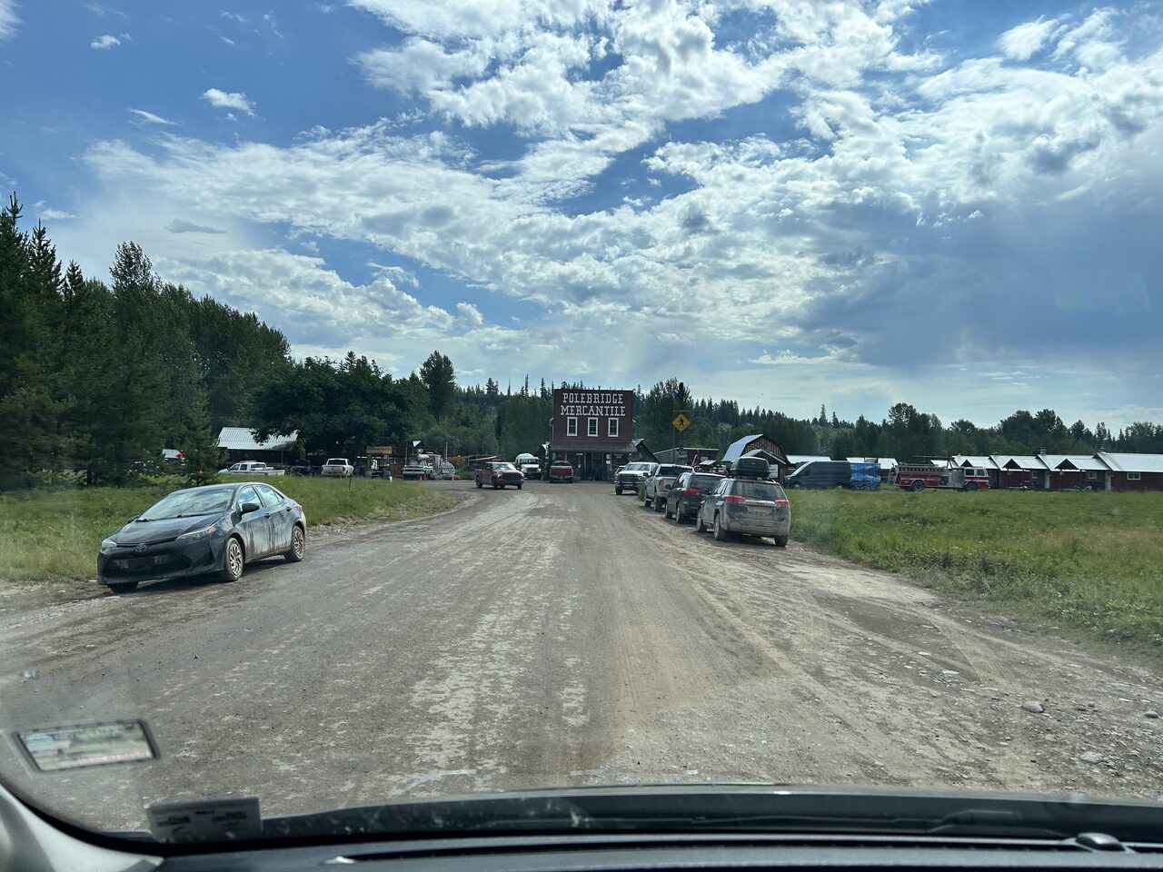
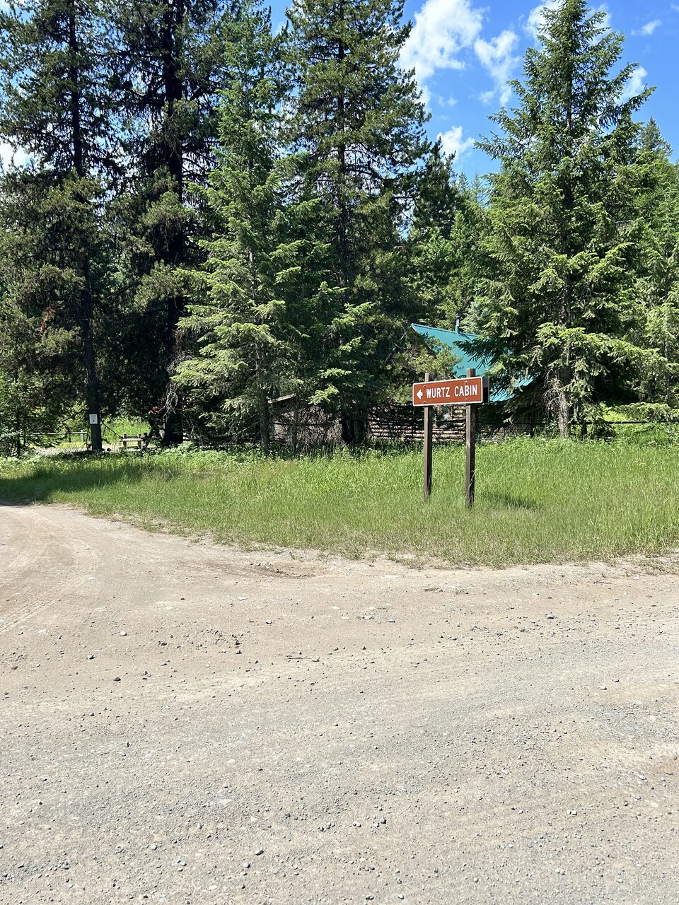
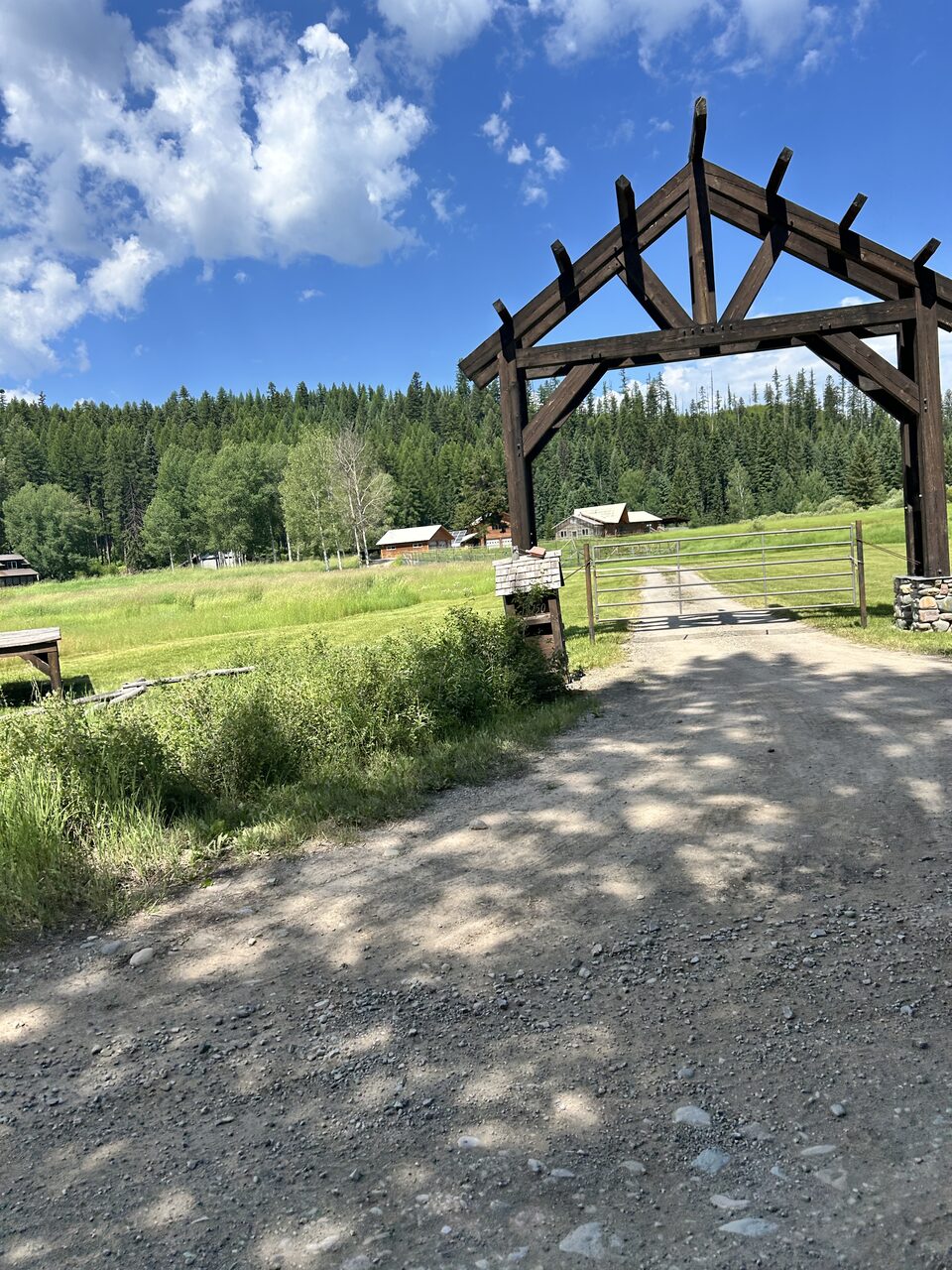
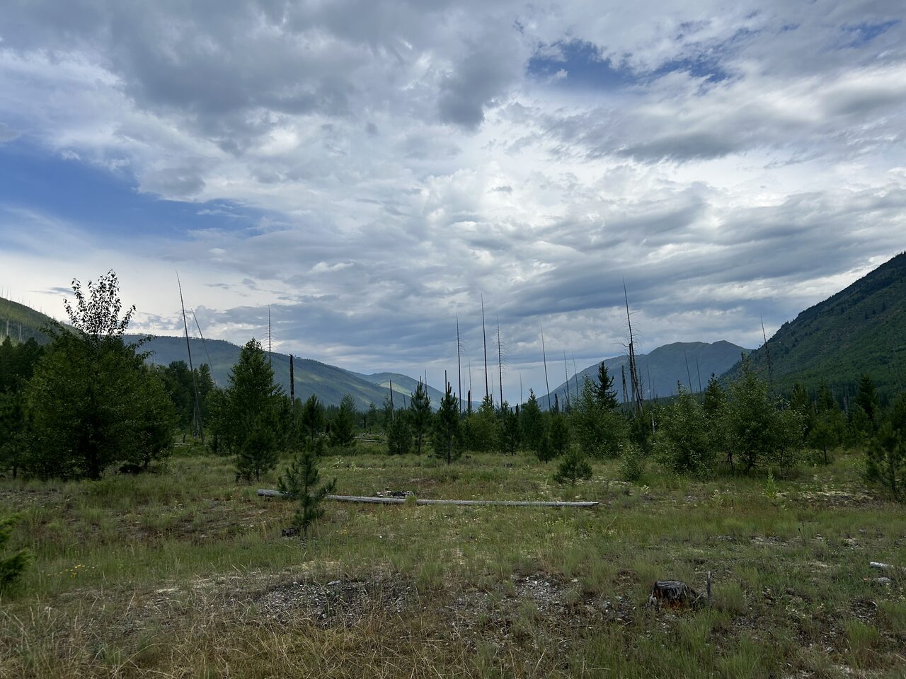
Terrain360, July 2026
Float the North Fork
7 floatable reachesPick a put-in and a take-out. Conditions change rapidly on this water; check the gauge the morning you float, not the night before.
| Reach | Miles | Time | Drop | Ft/mi | Class |
|---|---|---|---|---|---|
| Canadian Border to Ford | 14.0 | 4-7 hr | 261 ft | 18.6 | Class II |
| Ford to Schnaus Cabin | 4.7 | 1¼-2¼ hr | 91 ft | 19.3 | Class II |
| Schnaus Cabin to Polebridge, upstream | 5.4 | 1½-2¾ hr | 77 ft | 14.2 | Class II |
| Polebridge, downstream to Coal Creek | 9.3 | 2¾-4¾ hr | 123 ft | 13.3 | Class II |
| Coal Creek to Big Creek | 9.2 | 2¾-4½ hr | 106 ft | 11.5 | Class II |
| Big Creek to Great Northern Flats | 4.3 | 1¼-2¼ hr | 49 ft | 11.3 | Class II |
| Great Northern Flats to Glacier Rim | 7.2 | 2-3½ hr | 112 ft | 15.6 | Class II |
Distances are from FRA's recorded river miles; times are an estimate at today's flow, and drop and ft/mi are derived from the elevation profile, not a field survey.
Plan a floatThe river system flows through the traditional homelands of the Ql'ispe (Kalispel or Pend d' Orielle) Ktunaxa/Ksanka (Kootenai), and Séliš (Salish or "Flathead") Nations, who have long cared for this landscape, and the Amskapii Pikuni (Blackfeet) Peoples who often traveled in the river corridor.
About the homelands FRA's own acknowledgment language appears here verbatim.