
Access sites
Sites run upstream to downstream on each fork, the way you float them. Every entry carries what FRA measured on the ground and what the 360 capture recorded from the water.
Overall assessment coverage
Evidence coverage
- Public site records
- 21 of 25 access sites
- FRA source sheets
- 18 reviewed site assessments
- 360° sequences
- 400 panoramas across 20 capture sessions and 17 site rollups
Route + surface scenes
- Scene roles
- Approach (41) · Launch area (129) · Parking (78) · Trailhead (2) · Transition path (150)
- Visible surfaces
- Dirt path (41) · Gravel lot (157) · Gravel path (117) · Natural (31) · Paved lot (7) · Paved path (44) · Paved ramp (1) · Ramp (2)
Visible conditions
- Safety classifications
- Caution (29) · No visible hazard (371)
- Crowding classifications
- Light (143) · None visible (257)
Setting + limitations
- Naturalness classifications
- High (368) · Moderate (32)
- Limited site sequences
- 1
These totals describe source coverage and classifications of individual panoramas. They are not a corridor-wide condition rating or proof that a feature is absent from any site. Open a site for its reviewed RAPG assessment, bounded 360° evidence, and FRA’s authoritative field measurements.
North Fork
10 sites · CLASS II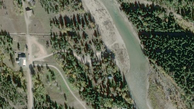 Capture coming
Canadian Border
Border rules apply
The first access point for the Wild and Scenic North Fork Flathead River.
5.9 ft
min tread
36.0% max grade · 100% hard
44.0
Capture coming
Canadian Border
Border rules apply
The first access point for the Wild and Scenic North Fork Flathead River.
5.9 ft
min tread
36.0% max grade · 100% hard
44.0
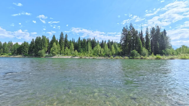 Ford
Located at the historic Ford Cabin, this river access is frequently shared with stock users or hunters. Larger stones embedded in bank can make footing uneven.
6.0 ft
min tread
38.2% max grade · 100% hard
39.3
Ford
Located at the historic Ford Cabin, this river access is frequently shared with stock users or hunters. Larger stones embedded in bank can make footing uneven.
6.0 ft
min tread
38.2% max grade · 100% hard
39.3
 Capture coming
Schnaus Cabin
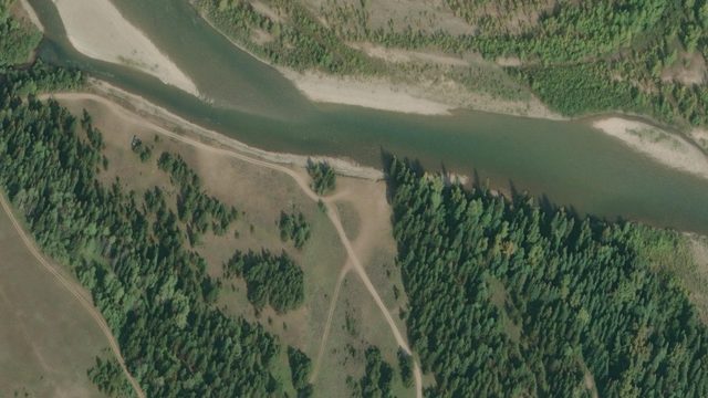
This undeveloped, unofficial river access is employed by some users who want a primitive camping experience at their launch or takeout site.
Sheet, no statistics
Undeveloped
33.9
Capture coming
Schnaus Cabin
This undeveloped, unofficial river access is employed by some users who want a primitive camping experience at their launch or takeout site.
Sheet, no statistics
Undeveloped
33.9
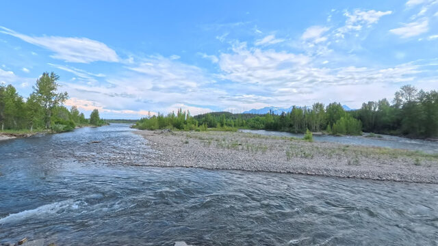 Polebridge River Access (Upstream)
This loop upstream of the Polebridge entrance to Glacier National Park hosts a vault toilet and at low water contains an even, step-like trail down the rip-rap to a pebbled bar.
4.5 ft
min tread
24.6% max grade · 100% firm
33.8
Polebridge River Access (Upstream)
This loop upstream of the Polebridge entrance to Glacier National Park hosts a vault toilet and at low water contains an even, step-like trail down the rip-rap to a pebbled bar.
4.5 ft
min tread
24.6% max grade · 100% firm
33.8
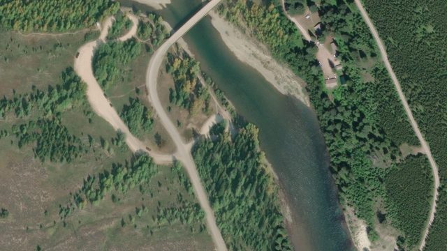 Capture coming
Polebridge River Access (Downstream)
This loop downstream of the Polebridge entrance to Glacier National Park features a vehicle-accessible packed-dirt launch ramp and a small, undeveloped tent site tucked into the woods.
14.2 ft
min tread
19.8% max grade · 89.9% firm
24.5
Capture coming
Polebridge River Access (Downstream)
This loop downstream of the Polebridge entrance to Glacier National Park features a vehicle-accessible packed-dirt launch ramp and a small, undeveloped tent site tucked into the woods.
14.2 ft
min tread
19.8% max grade · 89.9% firm
24.5
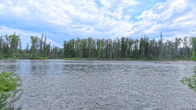 Coal Creek
Undeveloped river access, with no vault toilet or site improvements.
Sheet, no statistics
Packed dirt ramp, pebble bar
15.3
Coal Creek
Undeveloped river access, with no vault toilet or site improvements.
Sheet, no statistics
Packed dirt ramp, pebble bar
15.3
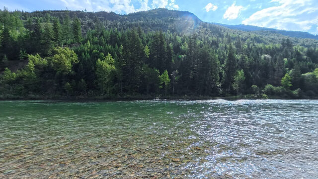 Big Creek
This is a paid access site managed by a concessionaire, with users required to pay a cash user fee to camp hosts or a deposit box.
6.0 ft
min tread
15.3% max grade · 96.4% firm
11.0
Big Creek
This is a paid access site managed by a concessionaire, with users required to pay a cash user fee to camp hosts or a deposit box.
6.0 ft
min tread
15.3% max grade · 96.4% firm
11.0
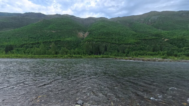 Great Northern Flats
This access is located at a National Forest camp site and features a vault toilet and designated trailer parking but no vehicle access to the river.
3.0 ft
min tread
25.9% max grade · 75.6% hard
3.8
Great Northern Flats
This access is located at a National Forest camp site and features a vault toilet and designated trailer parking but no vehicle access to the river.
3.0 ft
min tread
25.9% max grade · 75.6% hard
3.8
 Glacier Rim
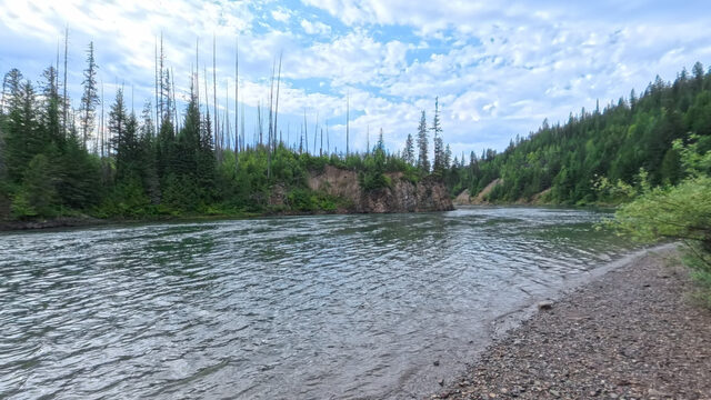
The last river access prior to the confluence of the North and Middle Forks of the Flathead at Blankenship.
3.0 ft
min tread
16.1% max grade · 60.6% hard
River mile pending
Glacier Rim
The last river access prior to the confluence of the North and Middle Forks of the Flathead at Blankenship.
3.0 ft
min tread
16.1% max grade · 60.6% hard
River mile pending
 Wurtz
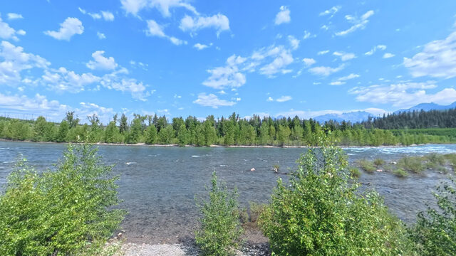
A North Fork launch upstream of Ford, on the North Fork Road. Captured in 360; no measured survey published yet.
No sheet published
Wurtz
A North Fork launch upstream of Ford, on the North Fork Road. Captured in 360; no measured survey published yet.
No sheet published
Middle Fork
9 sites · CLASS II-IV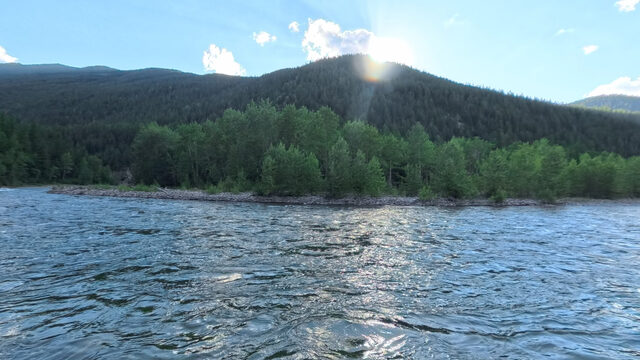 Bear Creek
First road access on the Middle Fork
The first road-accessed boat launch on the Middle Fork of the Flathead. Narrow, uneven troughs run alongside the boat rails with numerous erosive vertical steps.
4.2 ft
min tread
37.0% max grade · 95.9% hard
48.7
Bear Creek
First road access on the Middle Fork
The first road-accessed boat launch on the Middle Fork of the Flathead. Narrow, uneven troughs run alongside the boat rails with numerous erosive vertical steps.
4.2 ft
min tread
37.0% max grade · 95.9% hard
48.7
 Essex
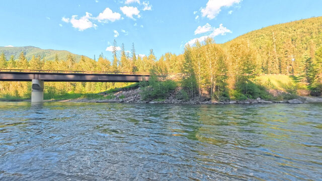
It features a large vehicle parking area on the upper bench above the
river, a sandy boat ramp at river level, and several undeveloped camp sites in
the surrounding woods.
25.0 ft
min tread
10.8% max grade · 95.9% hard
41.6
Essex
It features a large vehicle parking area on the upper bench above the
river, a sandy boat ramp at river level, and several undeveloped camp sites in
the surrounding woods.
25.0 ft
min tread
10.8% max grade · 95.9% hard
41.6
 Paola
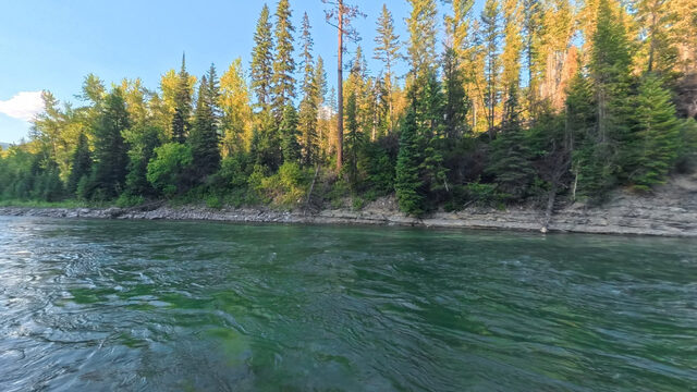
The parking area is scattered into several smaller zones.
3.8 ft
min tread
16.0% max grade · 47.3% firm
30.6
Paola
The parking area is scattered into several smaller zones.
3.8 ft
min tread
16.0% max grade · 47.3% firm
30.6
 Cascadilla
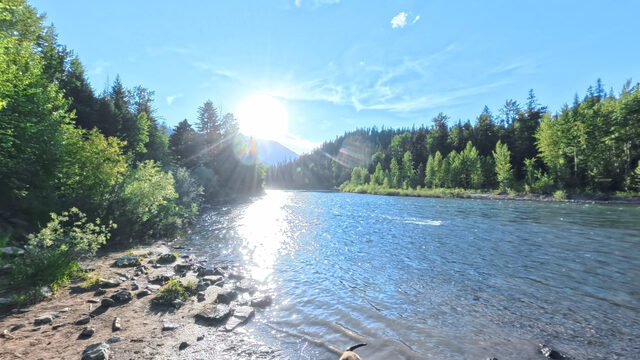
A single trailer turnaround loop allows access to several parking sites and a single-wide ramp of segmented cement blocks. Narrow tread width to either side of single-wide ramp.
12.0 ft
min tread
12.6% max grade · 67.3% hard
23.0
Cascadilla
A single trailer turnaround loop allows access to several parking sites and a single-wide ramp of segmented cement blocks. Narrow tread width to either side of single-wide ramp.
12.0 ft
min tread
12.6% max grade · 67.3% hard
23.0
 Moccasin Creek
Put-in only · whitewater reach
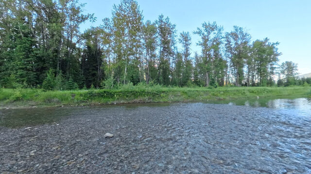
Launch-only access at the confluence of Moccasin and Deer Lick Creeks, approx. 0.2 mi upstream of their confluence with the Middle Fork Flathead.
Sheet, no statistics
Cement block ramp, creek beds, undeveloped bank trail
14.9
Moccasin Creek
Put-in only · whitewater reach
Launch-only access at the confluence of Moccasin and Deer Lick Creeks, approx. 0.2 mi upstream of their confluence with the Middle Fork Flathead.
Sheet, no statistics
Cement block ramp, creek beds, undeveloped bank trail
14.9
 West Glacier
High traffic
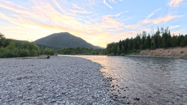
West Glacier access sees some of the most significant user traffic of any site along the Three Forks of the Flathead.
Sheet, no statistics
Cement block ramp, cobble bar
9.5
West Glacier
High traffic
West Glacier access sees some of the most significant user traffic of any site along the Three Forks of the Flathead.
Sheet, no statistics
Cement block ramp, cobble bar
9.5
 Blankenship River Access (West)
Shore use favoured
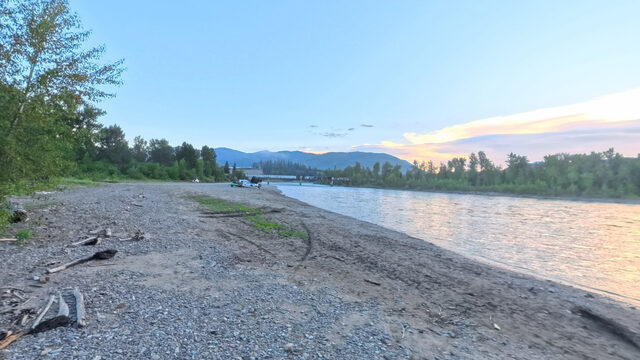
Primarily used by shore recreators, but can be used by float users, particularly during busy peak seasons.
Sheet, no statistics
Packed dirt, cobble bar
9.4
Blankenship River Access (West)
Shore use favoured
Primarily used by shore recreators, but can be used by float users, particularly during busy peak seasons.
Sheet, no statistics
Packed dirt, cobble bar
9.4
 Blankenship River Access (East)
Heavy use
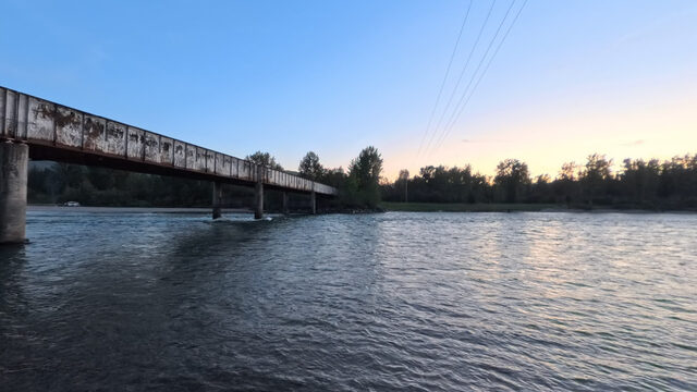
The river left (east) access at Blankenship Bridge, maintained by the county, sees extremely heavy use by floaters and shore recreators.
Sheet, no statistics
Packed dirt, cobble bar
No Wild and Scenic river mile
Blankenship River Access (East)
Heavy use
The river left (east) access at Blankenship Bridge, maintained by the county, sees extremely heavy use by floaters and shore recreators.
Sheet, no statistics
Packed dirt, cobble bar
No Wild and Scenic river mile
 Capture coming
House of Mystery
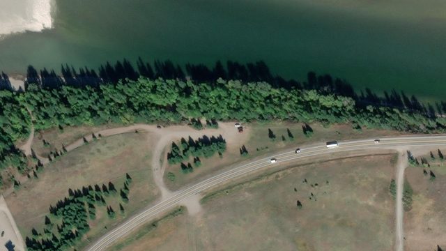
This undeveloped access approximately 1 R.M.
Sheet, no statistics
Packed dirt, pebble bar
Capture coming
House of Mystery
This undeveloped access approximately 1 R.M.
Sheet, no statistics
Packed dirt, pebble bar
South Fork
6 sites · CLASS II Capture coming
Cedar Flats
Below Meadow Creek Gorge
This site provides river access to the Wild section of the South Fork Flathead via a steep foot trail from a marked vehicle pull off/parking area with hundreds of steps down to a pebbled beach.
Sheet, no statistics
Undeveloped, cobble bar
46.5
Capture coming
Cedar Flats
Below Meadow Creek Gorge
This site provides river access to the Wild section of the South Fork Flathead via a steep foot trail from a marked vehicle pull off/parking area with hundreds of steps down to a pebbled beach.
Sheet, no statistics
Undeveloped, cobble bar
46.5
 Capture coming
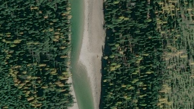
South Fork
An undeveloped cobble and pebble boat ramp provides river access at the start of the Recreational section.
Sheet, no statistics
Undeveloped, cobble bar
44.6
Capture coming
South Fork
An undeveloped cobble and pebble boat ramp provides river access at the start of the Recreational section.
Sheet, no statistics
Undeveloped, cobble bar
44.6
 Capture coming
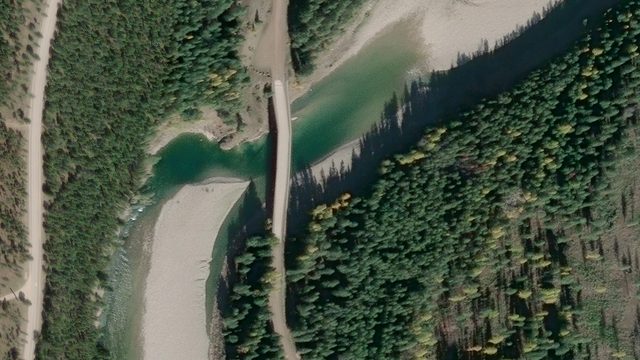
Billy Garrett Memorial Bridge
Vehicle accessible packed dirt and cobble river access.
Sheet, no statistics
Undeveloped, cobble bar
40.8
Capture coming
Billy Garrett Memorial Bridge
Vehicle accessible packed dirt and cobble river access.
Sheet, no statistics
Undeveloped, cobble bar
40.8
 Capture coming
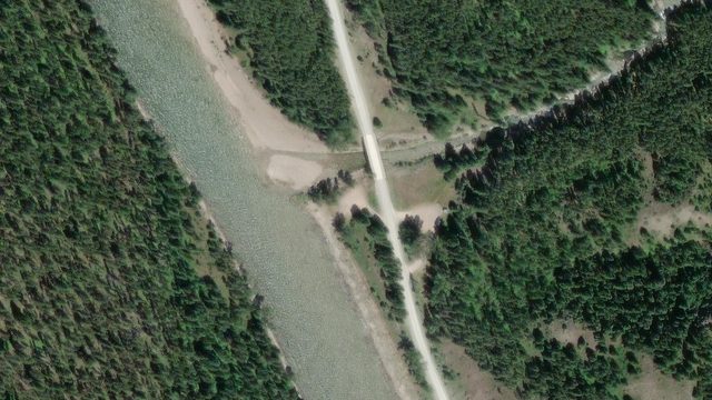
Upper Twin Creek
The final take-out before the slack water of Hungry Horse reservoir.
Sheet, no statistics
Undeveloped, cobble bar
No Wild and Scenic river mile
Capture coming
Upper Twin Creek
The final take-out before the slack water of Hungry Horse reservoir.
Sheet, no statistics
Undeveloped, cobble bar
No Wild and Scenic river mile
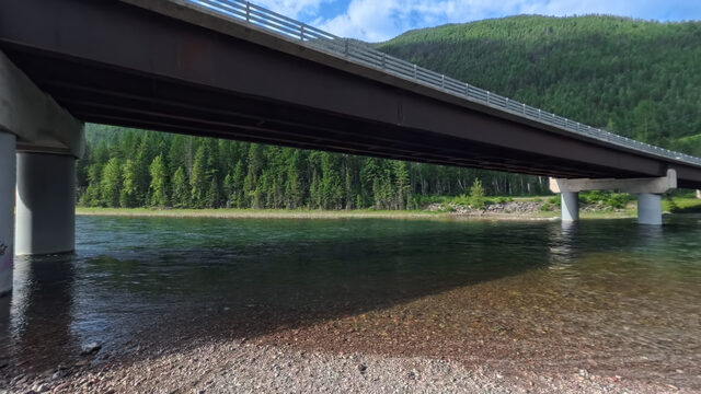 Hungry Horse HWY 2 Bridge
Below the confluence
Launch at the US Highway 2 bridge over the main stem, just below the South Fork confluence.
No sheet published
No Wild and Scenic river mile
Hungry Horse HWY 2 Bridge
Below the confluence
Launch at the US Highway 2 bridge over the main stem, just below the South Fork confluence.
No sheet published
No Wild and Scenic river mile
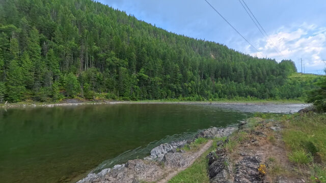 Reservoir Road River Boat Launch Below Dam
Dam controlled
South Fork launch below Hungry Horse Dam. Flows here are set by dam releases, not snowmelt.
No sheet published
Reservoir Road River Boat Launch Below Dam
Dam controlled
South Fork launch below Hungry Horse Dam. Flows here are set by dam releases, not snowmelt.
No sheet published
The river system flows through the traditional homelands of the Ql'ispe (Kalispel or Pend d' Orielle) Ktunaxa/Ksanka (Kootenai), and Séliš (Salish or "Flathead") Nations, who have long cared for this landscape, and the Amskapii Pikuni (Blackfeet) Peoples who often traveled in the river corridor.
About the homelands FRA's own acknowledgment language appears here verbatim.