Middle Fork
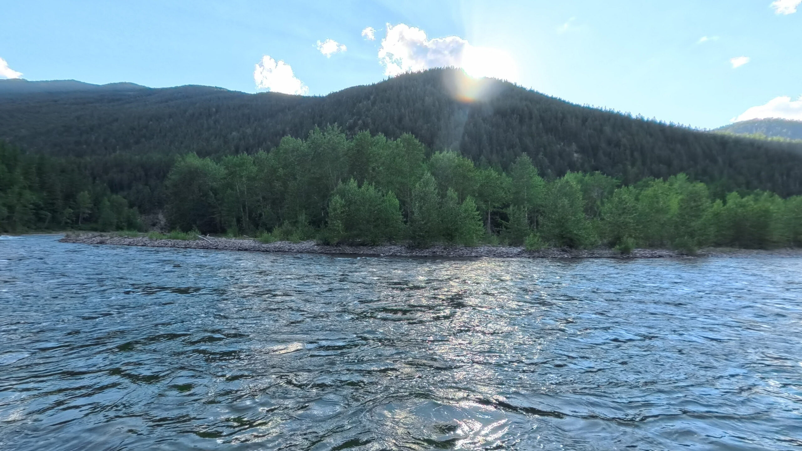
The whitewater artery of the system. Born in the Great Bear Wilderness, it meets Highway 2 at Bear Creek and runs the canyon along the southern boundary of Glacier National Park to its confluence with the South Fork. Class IV water runs Moccasin Creek to West Glacier.
Wind 2 mph S
- MO 76° 53° Mon: high 76 degrees, low 53 degrees, Clear.
- TU 74° 50° Tue: high 74 degrees, low 50 degrees, Overcast.
- WE 66° 46° Wed: high 66 degrees, low 46 degrees, Overcast.
- TH 77° 46° Thu: high 77 degrees, low 46 degrees, Overcast.
- FR 71° 48° 33% Fri: high 71 degrees, low 48 degrees, Drizzle, 33 percent chance of precipitation.
100.6 miles, site by site
2,295 ft of drop · 23.5 ft per mile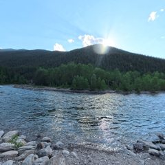 Bear Creek
RM 53.4 · 3,822 ft
Scene 18 · at the water
Bear Creek
RM 53.4 · 3,822 ft
Scene 18 · at the water
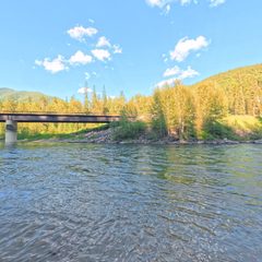 Essex
RM 48.7 · 3,704 ft
Scene 26 · at the water
Essex
RM 48.7 · 3,704 ft
Scene 26 · at the water
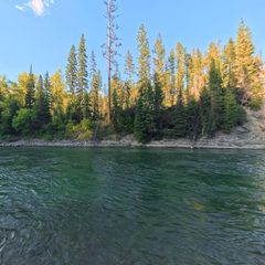 Paola
RM 41.6 · 3,571 ft
Scene 19 · at the water
Paola
RM 41.6 · 3,571 ft
Scene 19 · at the water
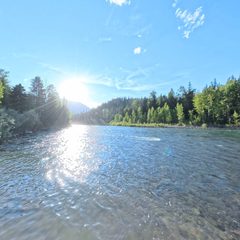 Cascadilla
RM 30.6 · 3,381 ft
Scene 20 · at the water
Cascadilla
RM 30.6 · 3,381 ft
Scene 20 · at the water
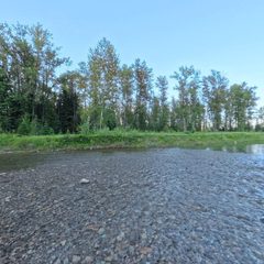 Moccasin Creek
RM 23 · 3,281 ft
Scene 29 · at the water
Moccasin Creek
RM 23 · 3,281 ft
Scene 29 · at the water
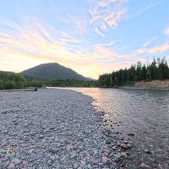 West Glacier
RM 14.9 · 3,150 ft
Scene 22 · at the water
West Glacier
RM 14.9 · 3,150 ft
Scene 22 · at the water
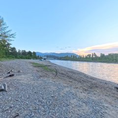 Blankenship River Access (West)
RM 9.5 · 3,101 ft
Blankenship River Access (West)
RM 9.5 · 3,101 ft
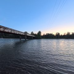 Blankenship River Access (East)
RM 9.4 · 3,100 ft
Scene 11 · at the water
Blankenship River Access (East)
RM 9.4 · 3,100 ft
Scene 11 · at the water
Elevation sampled from USGS 10m along the Wild & Scenic centerline. Hover or focus a site to see the panorama closest to the water.
Wild and Scenic designation
The Wild and Scenic Middle Fork of the Flathead is designated for 100.6 river miles, from its origin at the confluence of Strawberry and Bowl Creeks in the Great Bear Wilderness to its confluence with the South Fork Flathead, where the two combine to form the main stem Flathead River. The Middle Fork Wild designated segment originates in the Great Bear and flows until it reaches MT Highway 2 at Bear Creek, after which the river is Recreational designated. The Middle Fork contains whitewater up to class IV in the Wild section above Bear Creek and in the "whitewater section" from Moccasin Creek to West Glacier.
Designation language from the Flathead Rivers Alliance
The access picture
8 FRA sheets · 8 reviewed assessmentsChoose by surface, slope and room to assist. Access needs vary with your mobility, equipment, companions and the water level. Use the descriptions, measurements and photographs to plan the route that works for you.
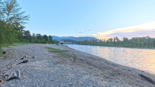
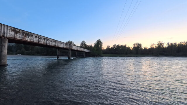
Essex: A wide, low-angle ramp and open staging area offer room to prepare boats and assist someone. Soft soil and sand can reduce traction or allow wheels, walking aids or vehicles to sink. Consider the support you may need between firm ground and the water.
Cascadilla: The long, relatively steep ramp has breaks, gaps and erosion, with narrow or absent tread beside it. Assistance can be difficult when a vehicle and trailer occupy the ramp. Check the measured gaps, cross slope and launch surface when planning how to reach the water.
Field context from Geoffrey Gill, Flathead Rivers Alliance, and FRA access-site descriptions.
Source coverage
- Access sites
- 8
- Captured in 360
- 8
- FRA access sheets
- 8
- Reviewed assessments
- 8
- Panoramas assigned
- 285
Plan your support
Consider the whole route from parking to water. Check footing, grade, cross slope, gaps and the space beside the ramp for anyone assisting. Conditions can change with river levels and use by vehicles and trailers.
Missing measurements mean information is unavailable; they do not establish a barrier or an accessible route.
Measured extremes
- Gentlest route to the water
- 10.8% max grade · Essex
- Steepest
- 37.0% max grade · Bear Creek
- Widest minimum tread
- 25 ft · Essex
FRA field measurements, from the access survey sheets.
Coverage counts and interpretations summarize FRA's access sheets and the reviewed Terrain360 imagery assessment. Measured figures are FRA's field measurements; where the two disagree, the measurements are correct.
Access sites, upstream to down
All 8 captured in 360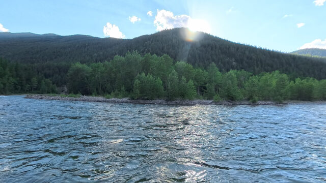
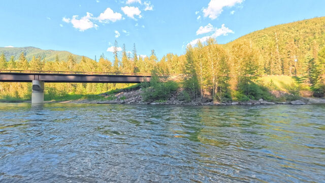
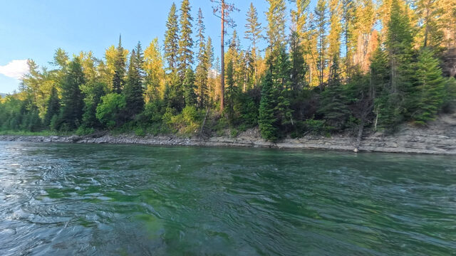
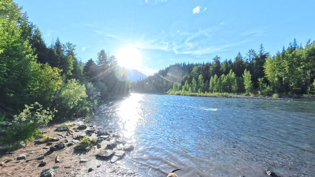
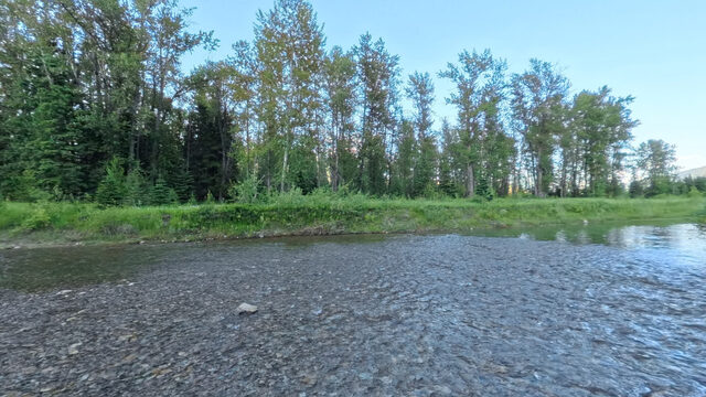
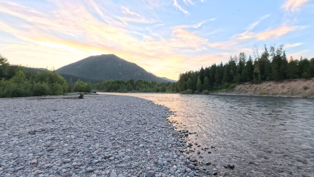
Beyond the designation
Outside Wild and Scenic designationFRA's river management partnership focuses on the designated Wild and Scenic segments. These additional access details support trip planning; their inclusion does not mean FRA manages the reservoir or waters beyond the designated corridor.
Main stem below the South Fork confluence
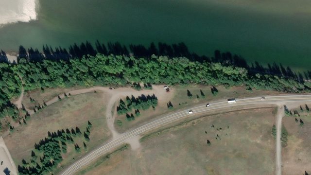
Hungry Horse HWY 2 Bridge and House of Mystery sit on the main stem below the South Fork confluence, beyond the Middle Fork's Wild and Scenic terminus. House of Mystery is included because it serves as a takeout for trips through roughly the final ten miles of the designated Middle Fork. It is a main-stem access, separate from the South Fork tailwater.
Check the official designation boundaries and FRA's current trip-planning resources.
Float the Middle Fork
6 floatable reachesPick a put-in and a take-out. Conditions change rapidly on this water; check the gauge the morning you float, not the night before.
| Reach | Miles | Time | Drop | Ft/mi | Class |
|---|---|---|---|---|---|
| Bear Creek to Essex | 4.7 | 1-2 hr | 118 ft | 25.1 | Class II-IV |
| Essex to Paola | 7.1 | 1½-2¾ hr | 133 ft | 18.7 | Class II-IV |
| Paola to Cascadilla | 11.0 | 2½-4½ hr | 190 ft | 17.3 | Class II-IV |
| Cascadilla to Moccasin Creek | 7.6 | 1¾-3 hr | 100 ft | 13.1 | Class II-IV |
| Moccasin Creek to West Glacier | 8.1 | 1¾-3¼ hr | 132 ft | 16.2 | Class III-IV · the whitewater section |
| West Glacier to Blankenship, west | 5.4 | 1¼-2¼ hr | 49 ft | 9.0 | Class II-IV |
Distances are from FRA's recorded river miles; times are an estimate at today's flow, and drop and ft/mi are derived from the elevation profile, not a field survey. The Moccasin to West Glacier reach is committing canyon water; scout, wear a PFD, and know your group's limits.
Plan a floatThe river system flows through the traditional homelands of the Ql'ispe (Kalispel or Pend d' Orielle) Ktunaxa/Ksanka (Kootenai), and Séliš (Salish or "Flathead") Nations, who have long cared for this landscape, and the Amskapii Pikuni (Blackfeet) Peoples who often traveled in the river corridor.
About the homelands FRA's own acknowledgment language appears here verbatim.