
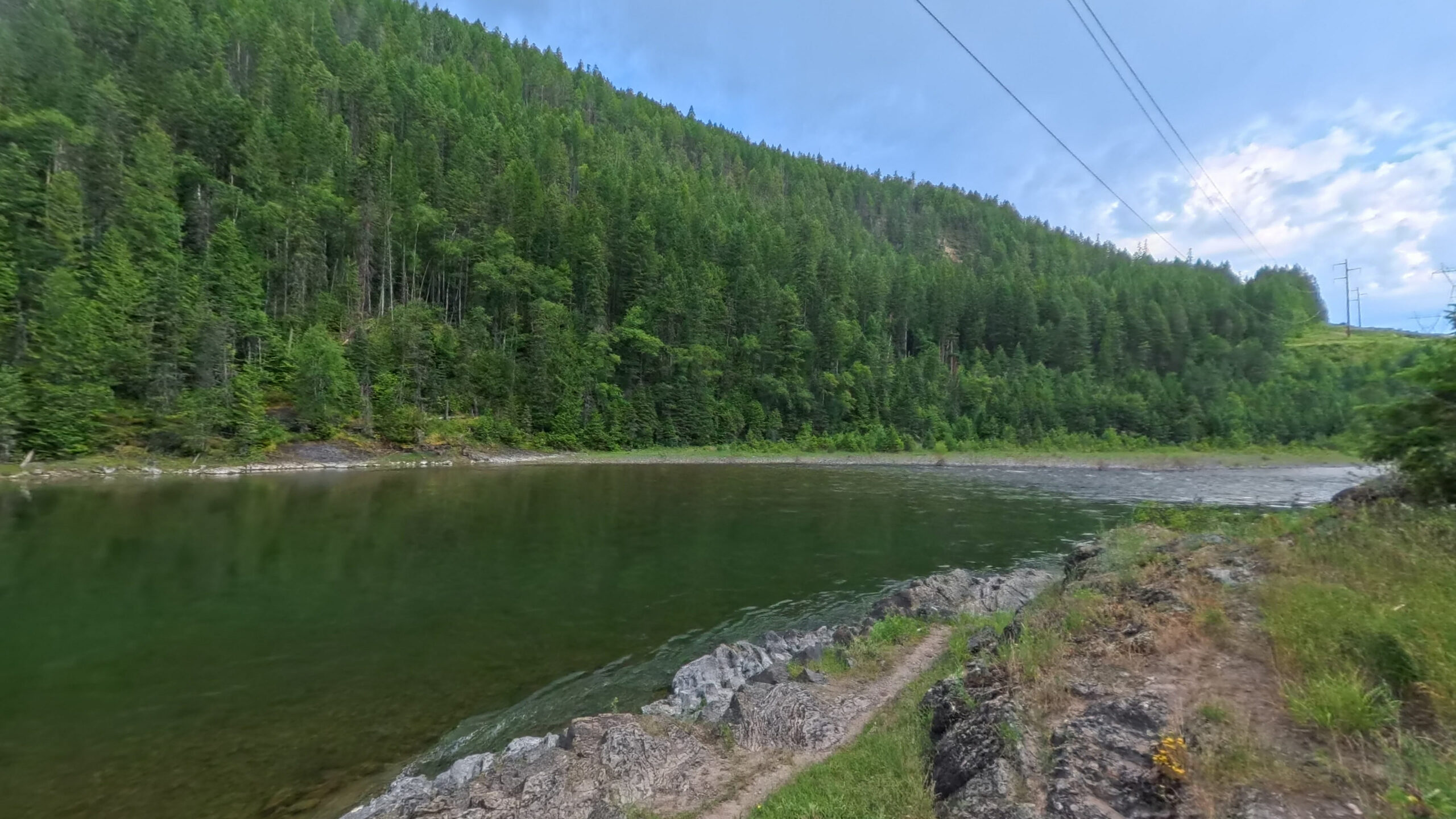
South Fork
Sixty designated miles from the Youngs and Danaher confluence to the head of Hungry Horse Reservoir. Most of it is Wild and hard to reach. Below the Spotted Bear Ranger Station the designation changes to Recreational and developed ramps begin.
Wind 1 mph W
- MO 79° 54° Mon: high 79 degrees, low 54 degrees, Clear.
- TU 77° 52° Tue: high 77 degrees, low 52 degrees, Drizzle.
- WE 70° 49° Wed: high 70 degrees, low 49 degrees, Overcast.
- TH 77° 48° Thu: high 77 degrees, low 48 degrees, Drizzle.
- FR 69° 50° 30% Fri: high 69 degrees, low 50 degrees, Showers, 30 percent chance of precipitation.
The South Fork contains primarily class II whitewater, with the exception of the class V/VI Meadow Creek Gorge just upstream of the Cedar Flats access. This 5 mile river segment is not recommended for floating, with narrows of less than 3 feet, powerful hydraulics, and undercut rocks. Users are advised to always plan ahead and to recreate within their ability levels, particularly in remote areas far from assistance.
The designated South Fork ends at the head of Hungry Horse Reservoir. The conditions above use the Above Twin Creek gauge on that river. Reservoir, below-dam and main-stem information is provided separately below.
60 miles, site by site
1,129 ft of drop · 19.3 ft per mileElevation sampled from USGS 10m along the Wild & Scenic centerline. Hover or focus a site to see the panorama closest to the water.
Wild and Scenic designation
The Wild and Scenic South Fork of the Flathead is designated for 60 miles, from the confluence of Youngs and Danaher Creeks to the head of the Hungry Horse Reservoir. The majority of this section is Wild designated, with very challenging, undeveloped backcountry access. Below the Spotted Bear Ranger Station, the designation changes to Recreational and several developed boat ramps allow for launches or take-outs.
Designation language from the Flathead Rivers Alliance
The access picture
4 FRA sheets · 0 reviewed assessmentsFRA has published access sheets for 4 of the 4 access sites on this fork. Their descriptions and photographs are linked from the site pages. Engineering statistics and reviewed sheet assessments are not available for these sheets yet.
4 access sites · 0 captured in 360
Coverage counts and interpretations summarize FRA's access sheets and the reviewed Terrain360 imagery assessment. Measured figures are FRA's field measurements; where the two disagree, the measurements are correct.
Access sites, upstream to down
0 of 4 captured in 360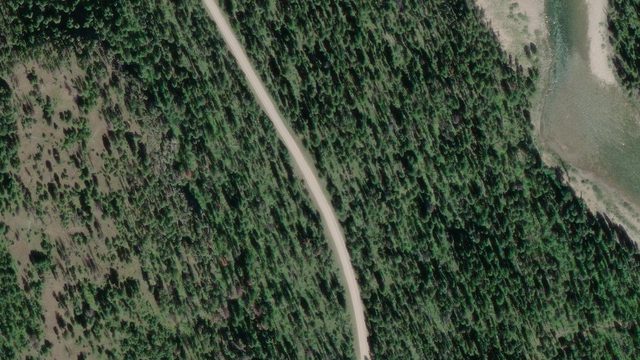
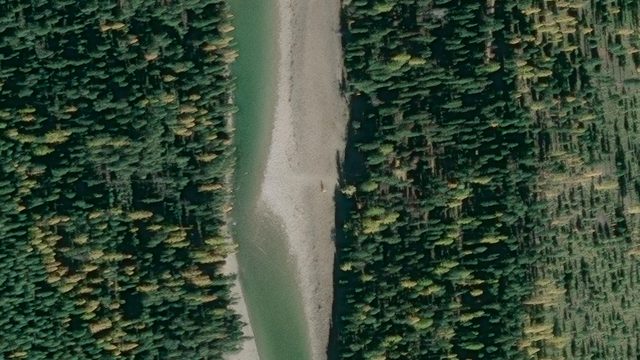
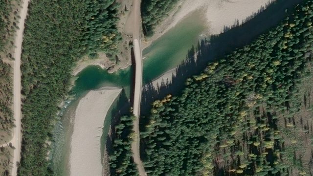
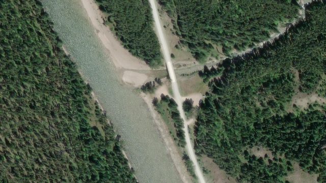
Reservoir, tailwater and main stem
Outside Wild and Scenic designationFRA's river management partnership focuses on the designated Wild and Scenic segments. These additional access details support trip planning; their inclusion does not mean FRA manages the reservoir or waters beyond the designated corridor.
Hungry Horse Reservoir
The reservoir lies between the designated South Fork and Hungry Horse Dam. It is outside the Wild and Scenic designation and separates the upper river from the tailwater below the dam. Reservoir levels and operating conditions differ from flows on the free-flowing river. See Reclamation's reservoir information when planning a reservoir trip.
South Fork below Hungry Horse Dam
Reservoir Road Below Dam is on the South Fork tailwater. Flows below Hungry Horse Dam are controlled by Reclamation releases, not by snowmelt alone. They can change fast and without local weather to warn you. Check the release schedule as well as the gauge.
Flow below Hungry Horse Dam: 3,020 cfs · provisional. Reading Sep 20, 12:45 AM MDT. USGS 12362500
Main stem below the South Fork confluence
Hungry Horse HWY 2 Bridge and House of Mystery sit on the main stem below the South Fork confluence, beyond the Middle Fork's Wild and Scenic terminus. House of Mystery is included because it serves as a takeout for trips through roughly the final ten miles of the designated Middle Fork. It is a main-stem access, separate from the South Fork tailwater.
Check the official designation boundaries and FRA's current trip-planning resources.
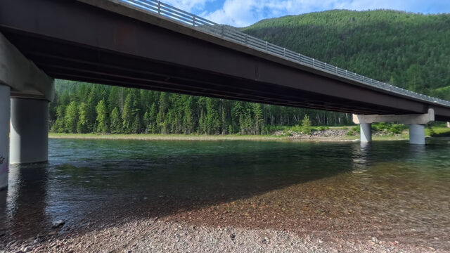 Hungry Horse HWY 2 Bridge
Below the confluence
Launch at the US Highway 2 bridge over the main stem, just below the South Fork confluence.
No sheet published
No Wild and Scenic river mile
Hungry Horse HWY 2 Bridge
Below the confluence
Launch at the US Highway 2 bridge over the main stem, just below the South Fork confluence.
No sheet published
No Wild and Scenic river mile
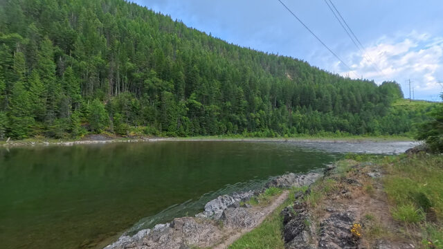 Reservoir Road River Boat Launch Below Dam
Dam controlled
South Fork launch below Hungry Horse Dam. Flows here are set by dam releases, not snowmelt.
No sheet published
Reservoir Road River Boat Launch Below Dam
Dam controlled
South Fork launch below Hungry Horse Dam. Flows here are set by dam releases, not snowmelt.
No sheet published
Float the South Fork
3 floatable reachesPick a put-in and a take-out. Conditions change rapidly on this water; check the gauge the morning you float, not the night before.
| Reach | Miles | Time | Drop | Ft/mi | Class |
|---|---|---|---|---|---|
| Cedar Flats to South Fork | 9.3 | 2-3¾ hr | 131 ft | 14.0 | Class II |
| South Fork to Billy Garrett Memorial Bridge | 1.9 | ½-¾ hr | 22 ft | 11.7 | Class II |
| Billy Garrett Memorial Bridge to Upper Twin Creek | 3.8 | ¾-1½ hr | 39 ft | 10.2 | Class II |
Distances are from FRA's recorded river miles; times are an estimate at today's flow, and drop and ft/mi are derived from the elevation profile, not a field survey.
Plan a floatThe river system flows through the traditional homelands of the Ql'ispe (Kalispel or Pend d' Orielle) Ktunaxa/Ksanka (Kootenai), and Séliš (Salish or "Flathead") Nations, who have long cared for this landscape, and the Amskapii Pikuni (Blackfeet) Peoples who often traveled in the river corridor.
About the homelands FRA's own acknowledgment language appears here verbatim.