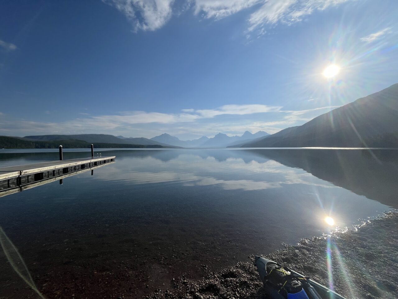
Lake McDonald
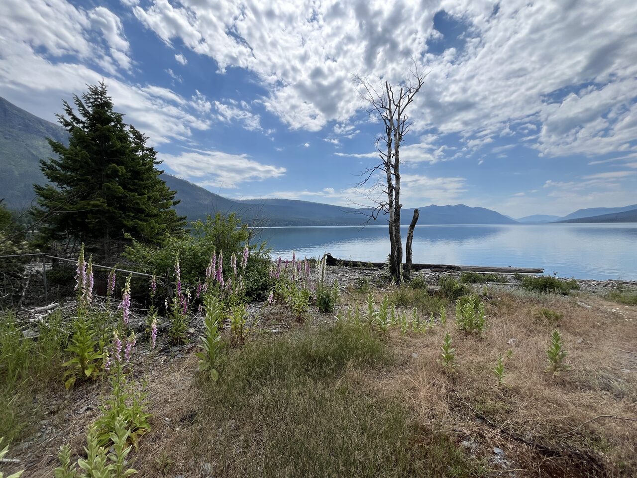
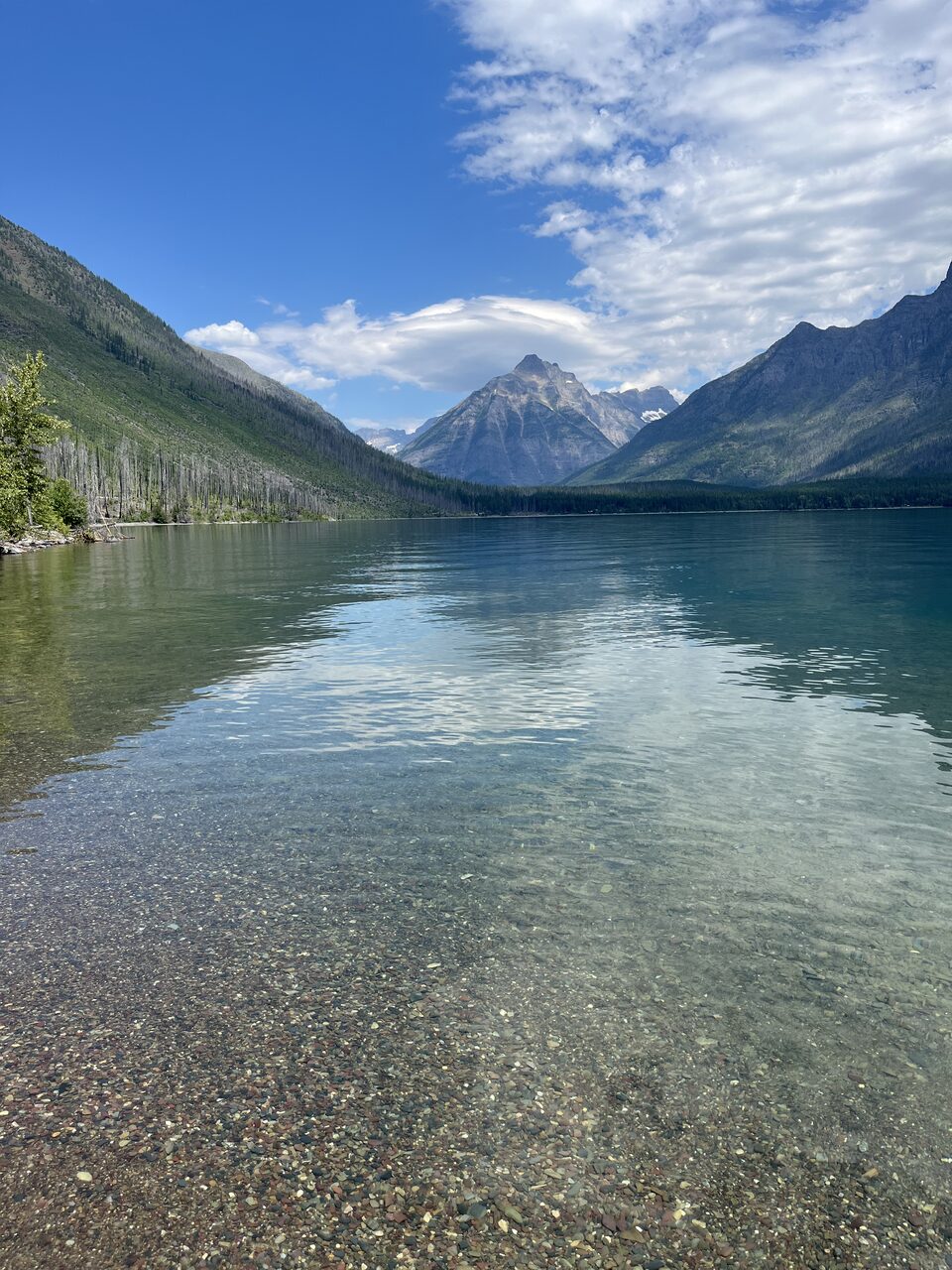
Ten miles of lake under the Livingston Range, on the other side of the boundary the North Fork runs for every one of its designated miles. Photographed from the water, shore to shore, the same way the launches are.
A bonus, not a boundary
Lake McDonald sits inside the park, not on the Wild and Scenic system, so it carries none of the access measurements the rest of this guide is built on. It is here because most people who float the Three Forks are within an hour of it, and because you can now see it from the water before you go.
Park entry requirements, vehicle reservations, and boat inspection rules are set by the National Park Service and change season to season. Check nps.gov/glac before you go.
Look around
3 tours · Terrain360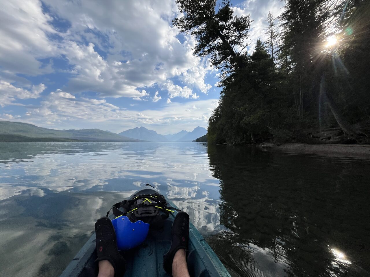 360° · Lake McDonald - South
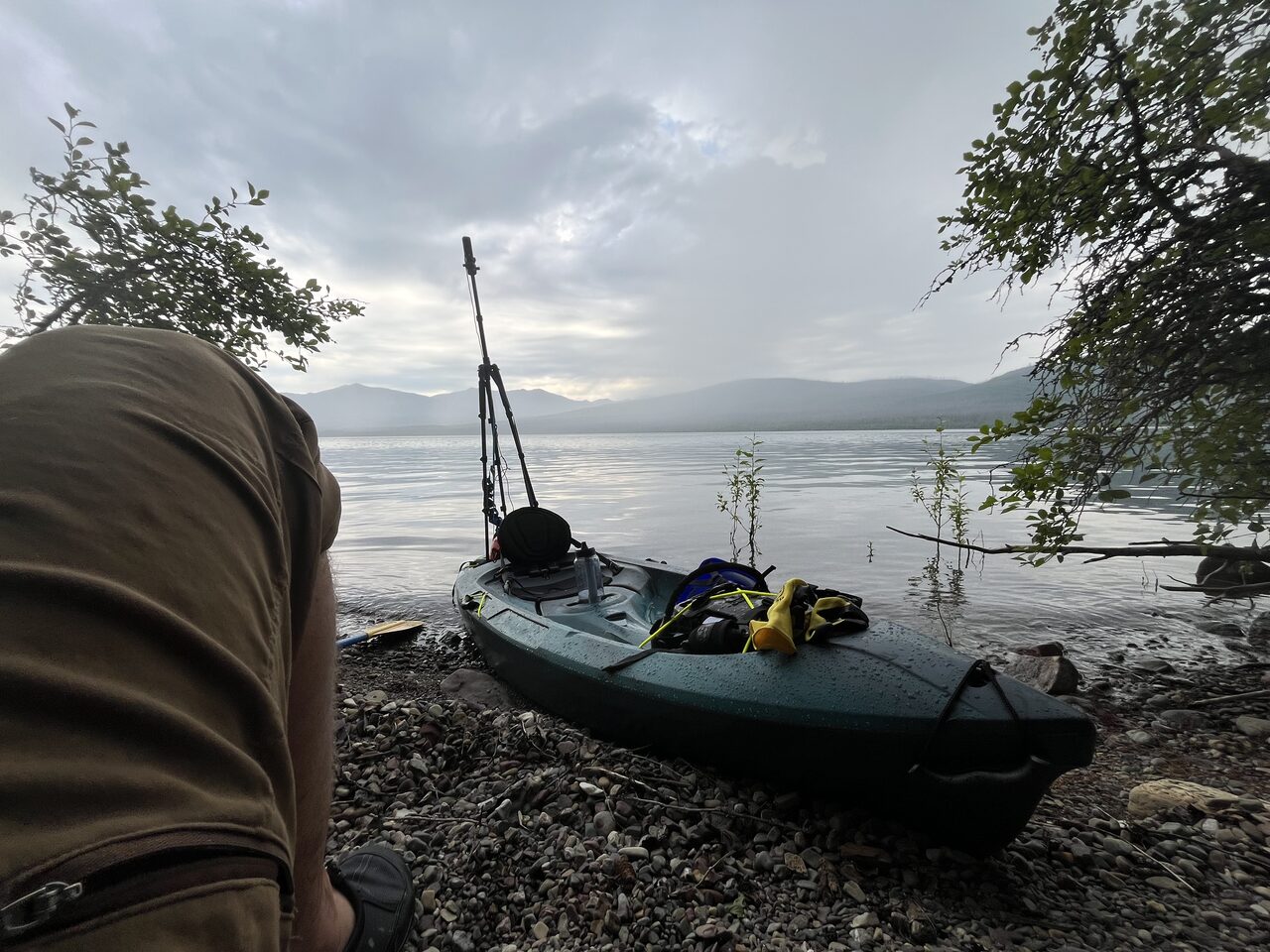 360° · Lake McDonald - North
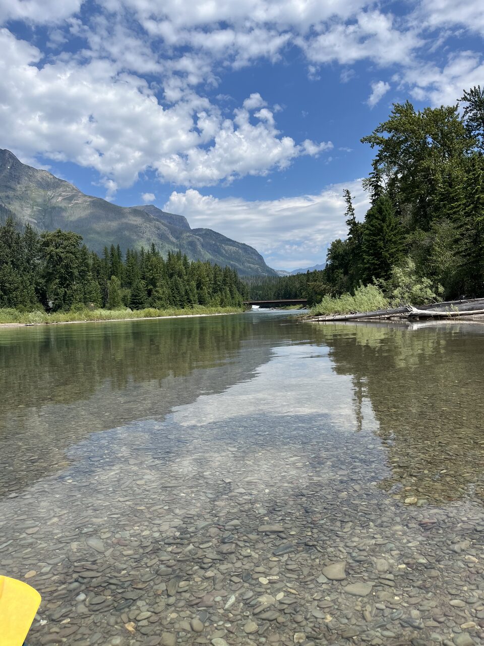 360° · McDonald creek overlook
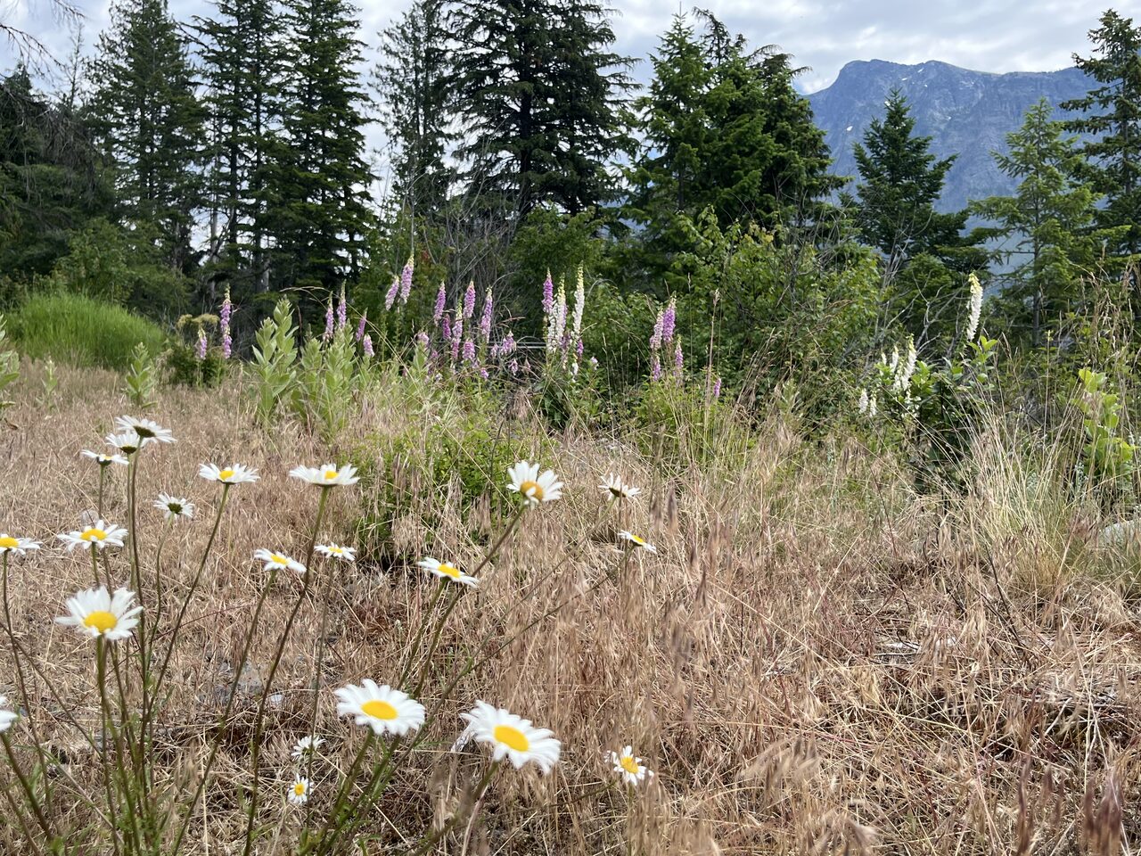
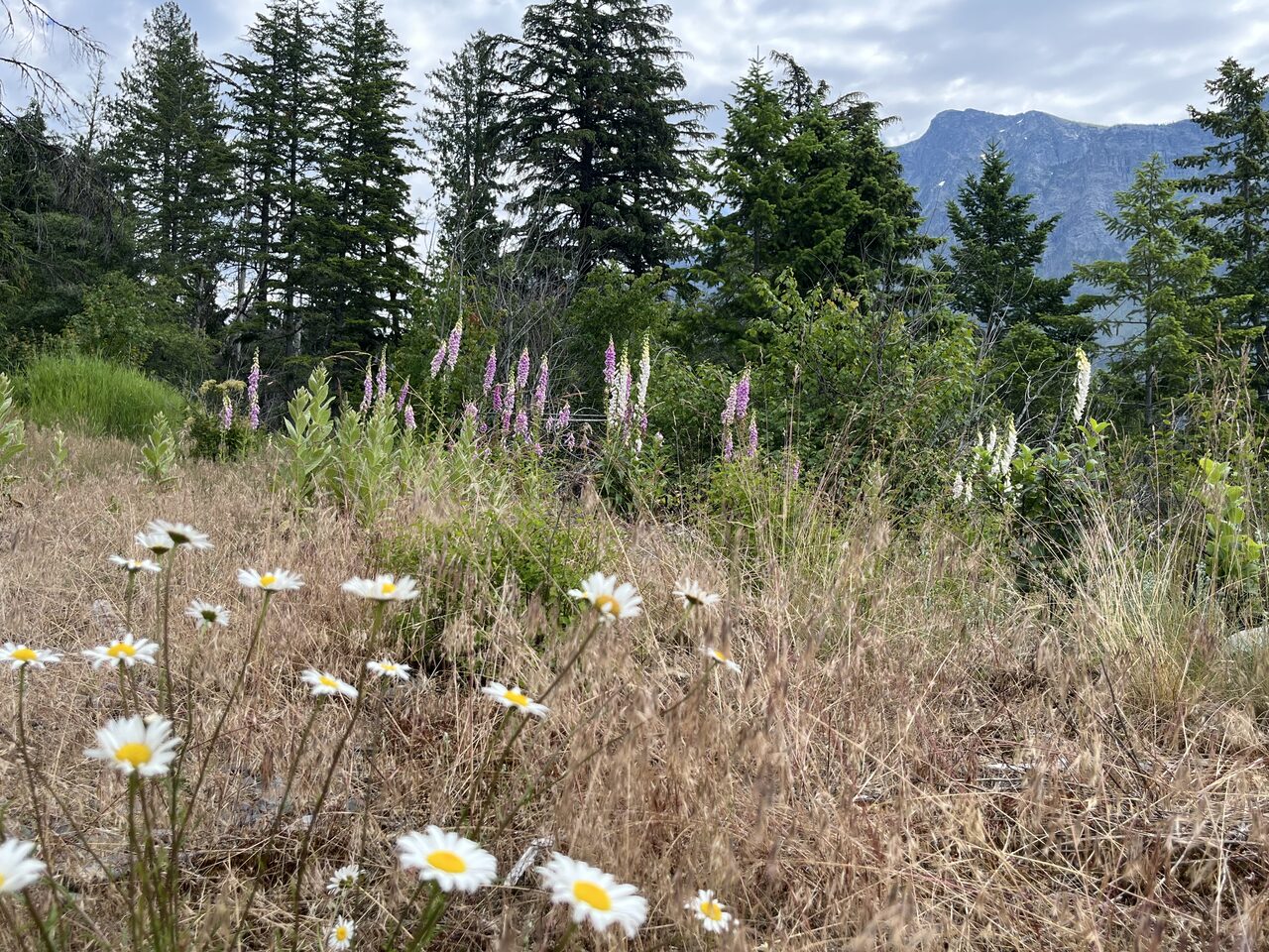
From the water
59 photographs · July 8, 2026
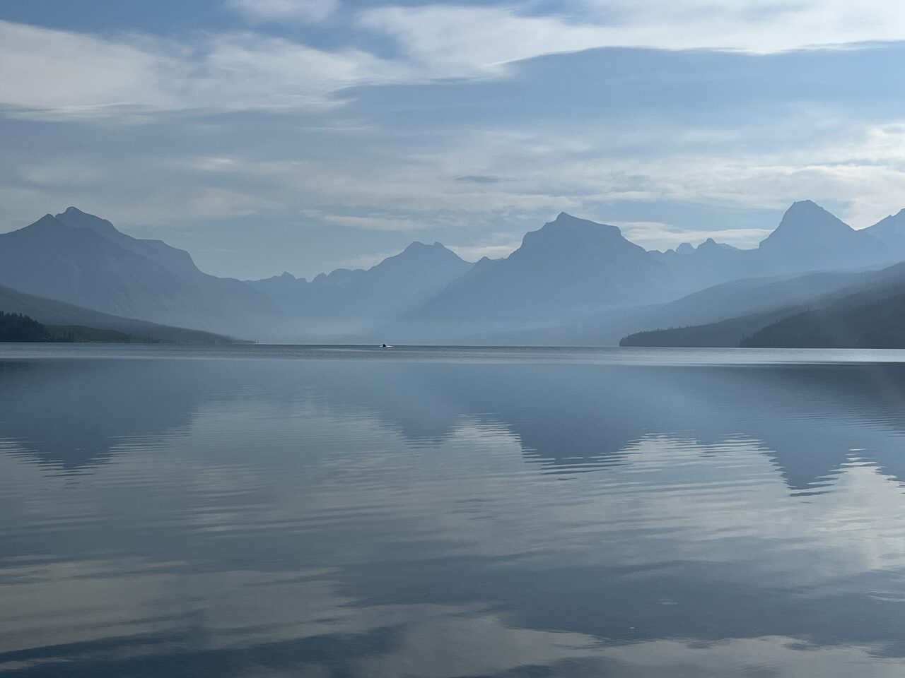
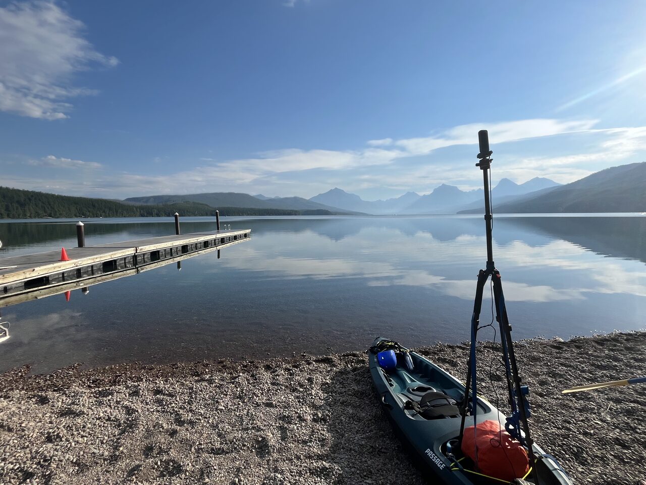
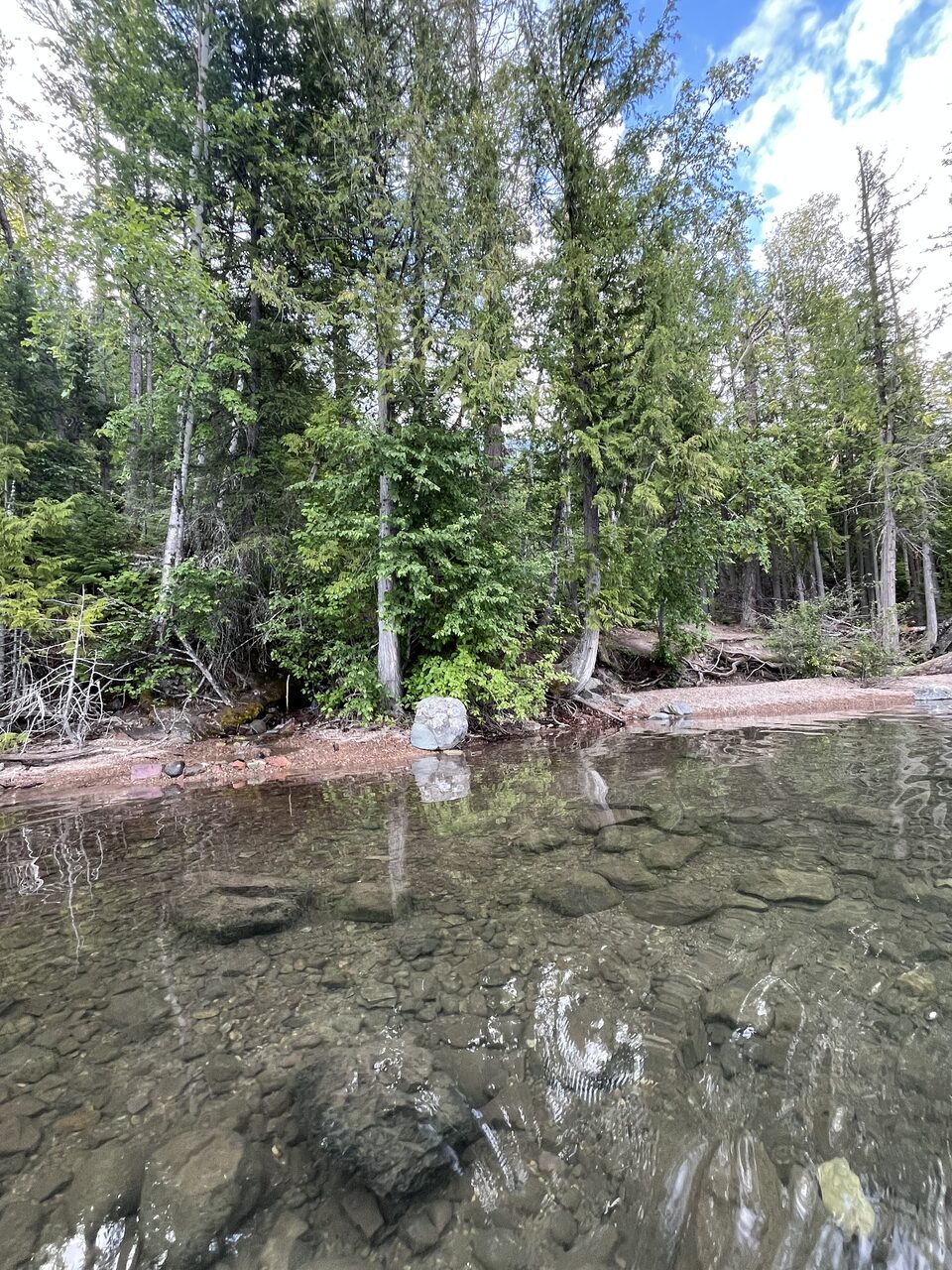
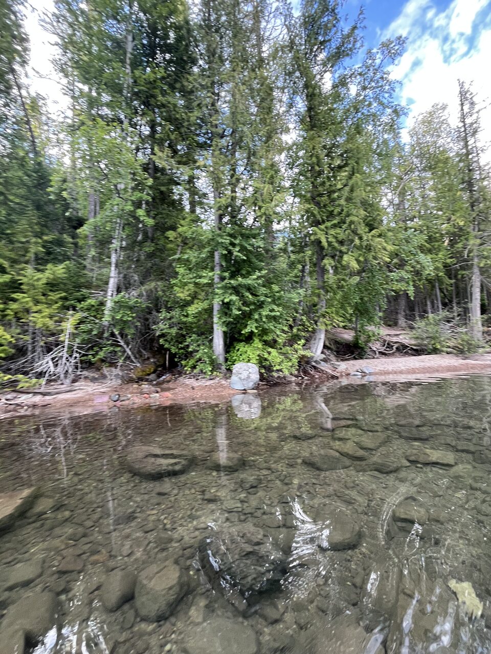
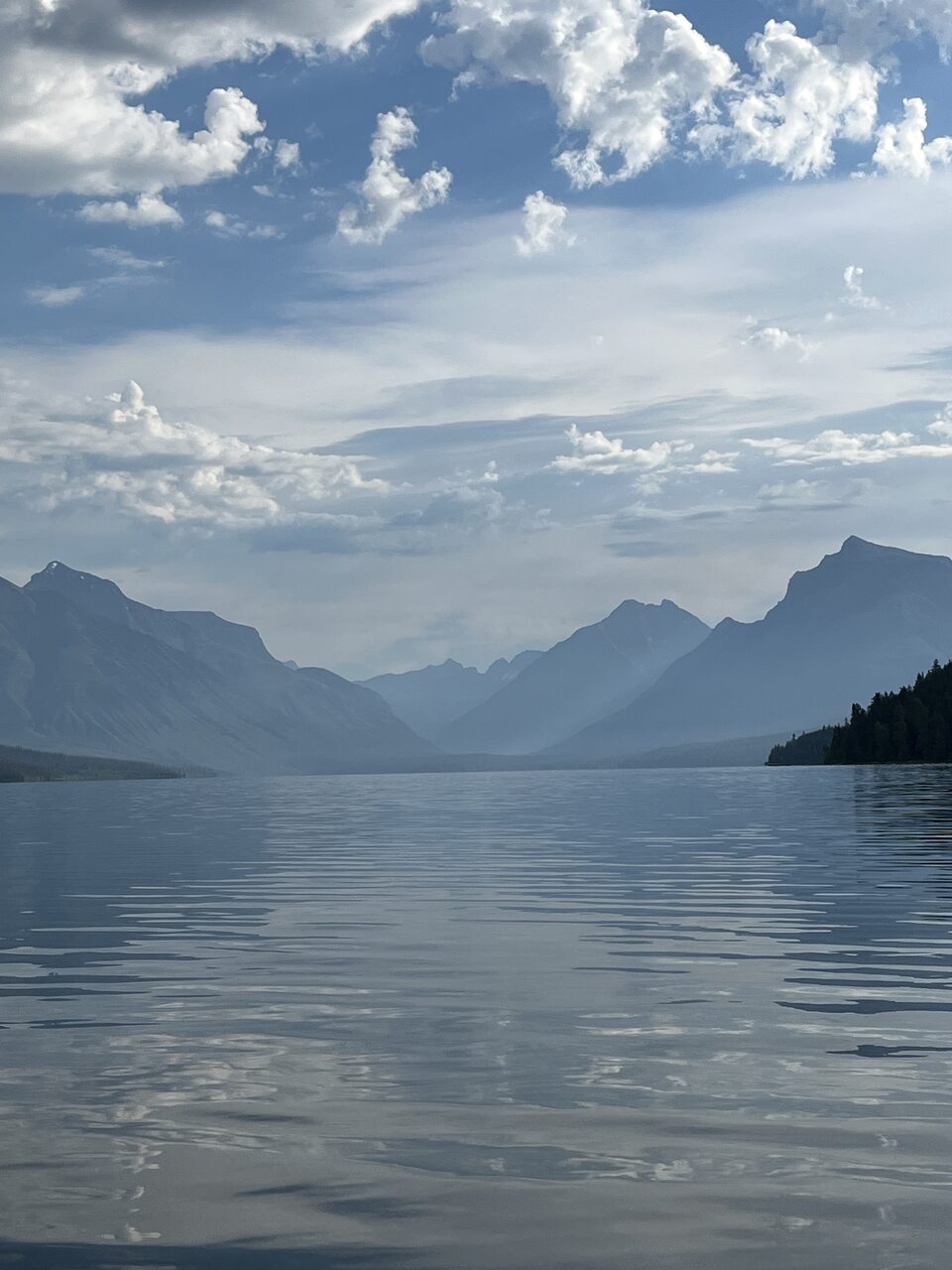
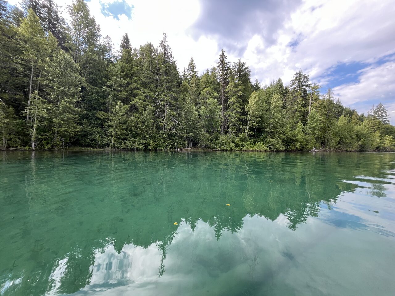
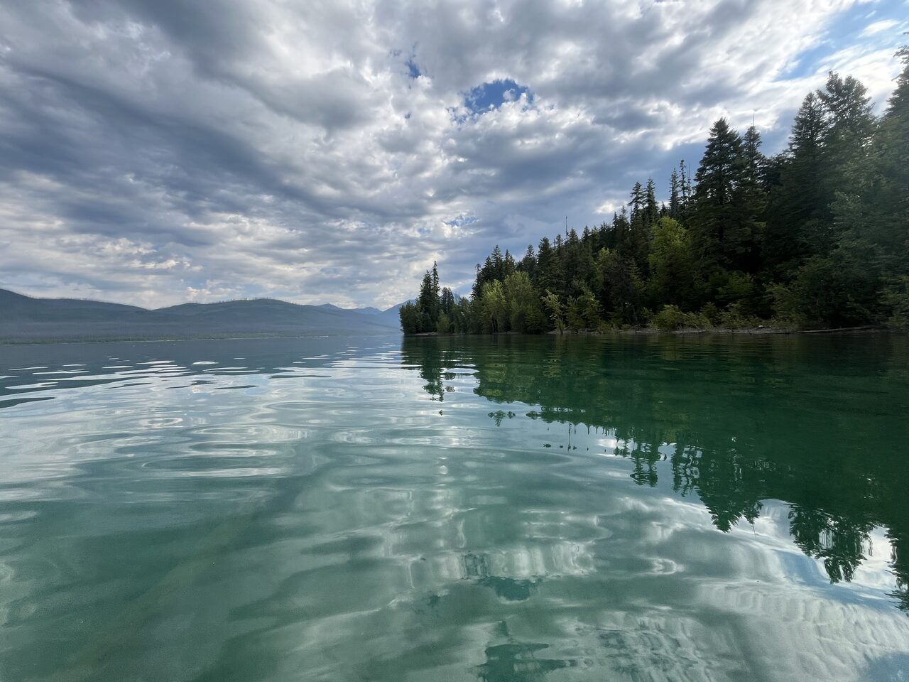
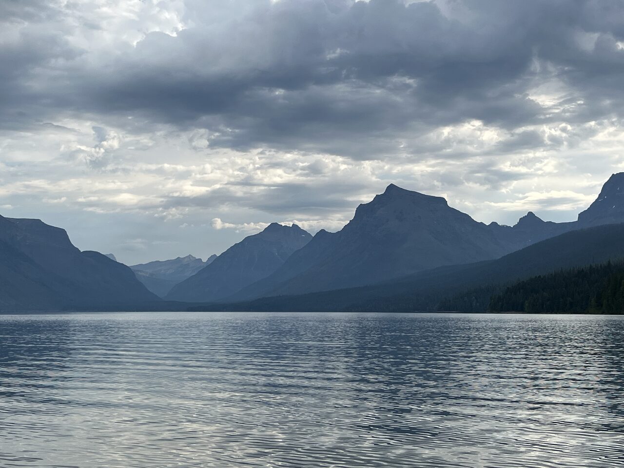
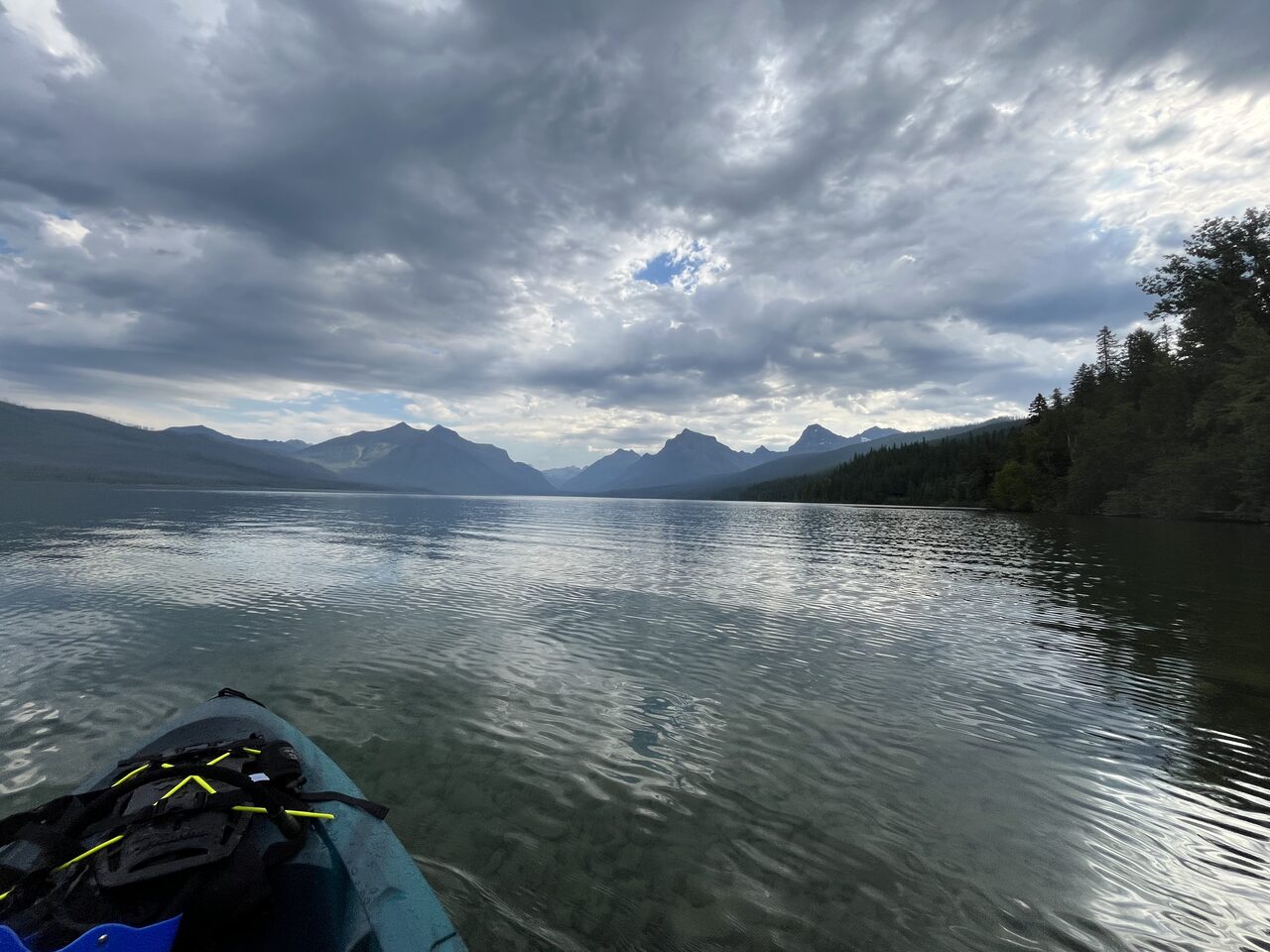
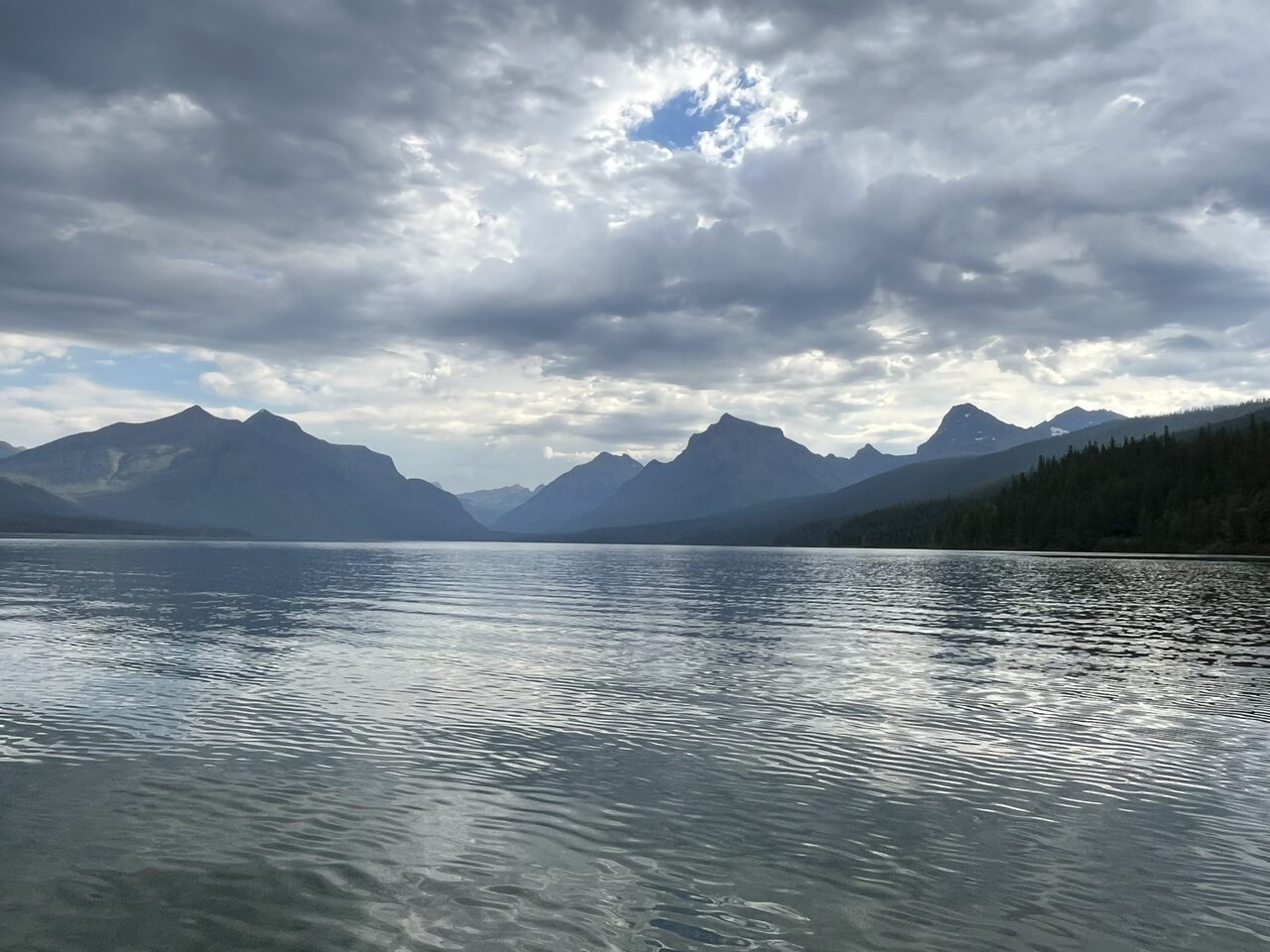
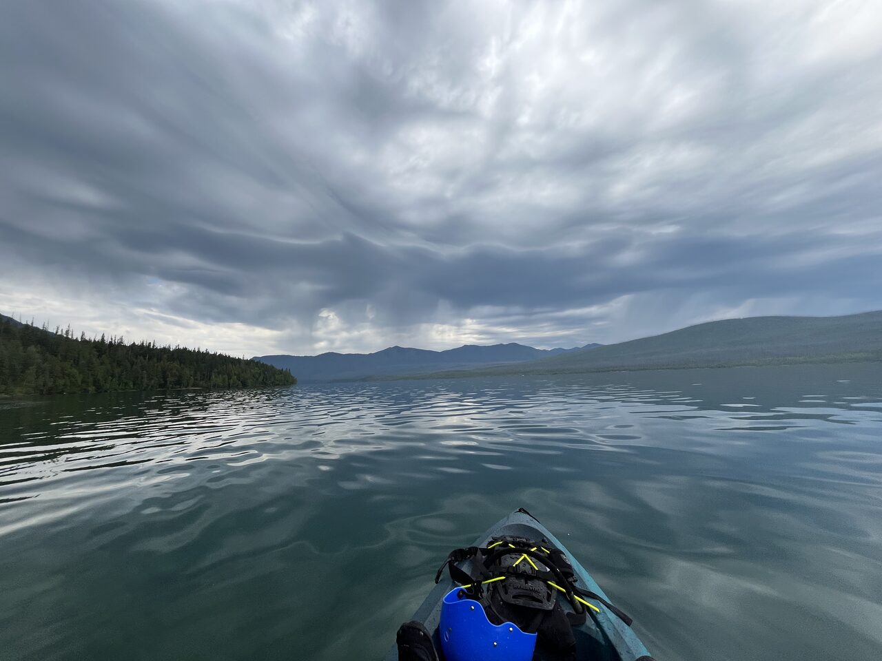
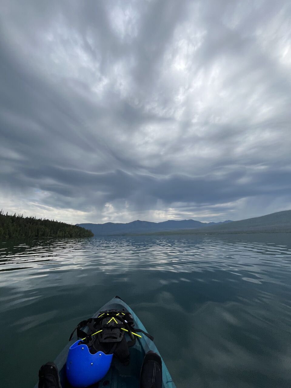
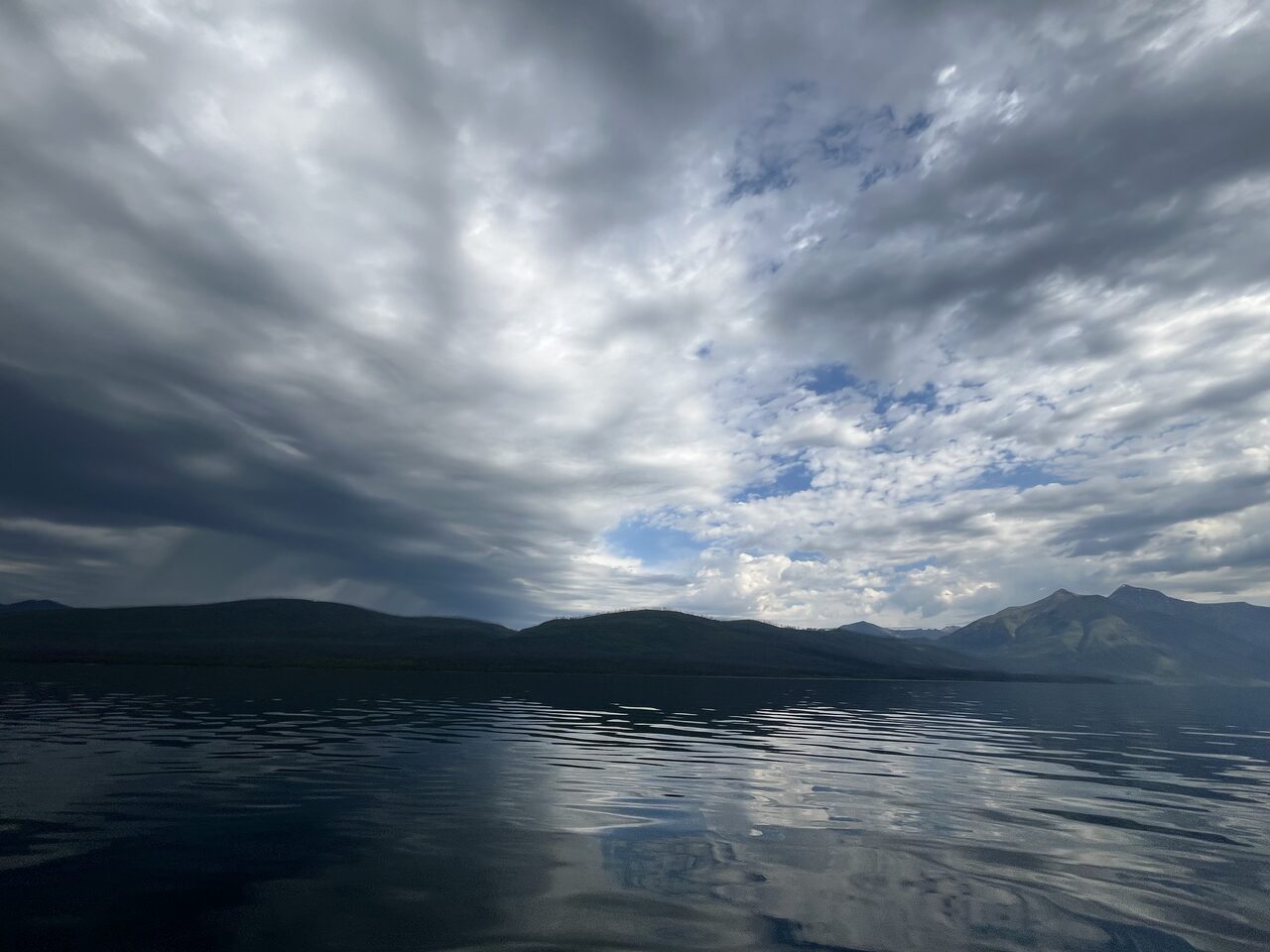
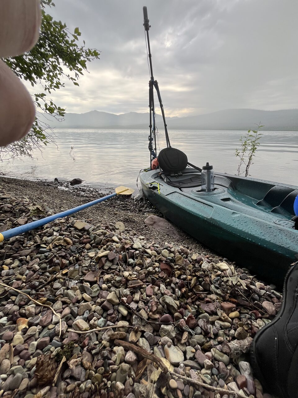
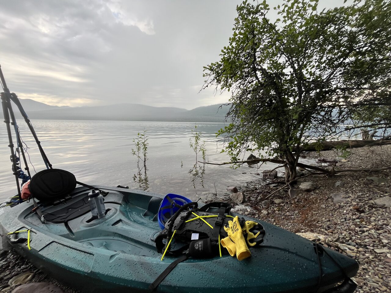
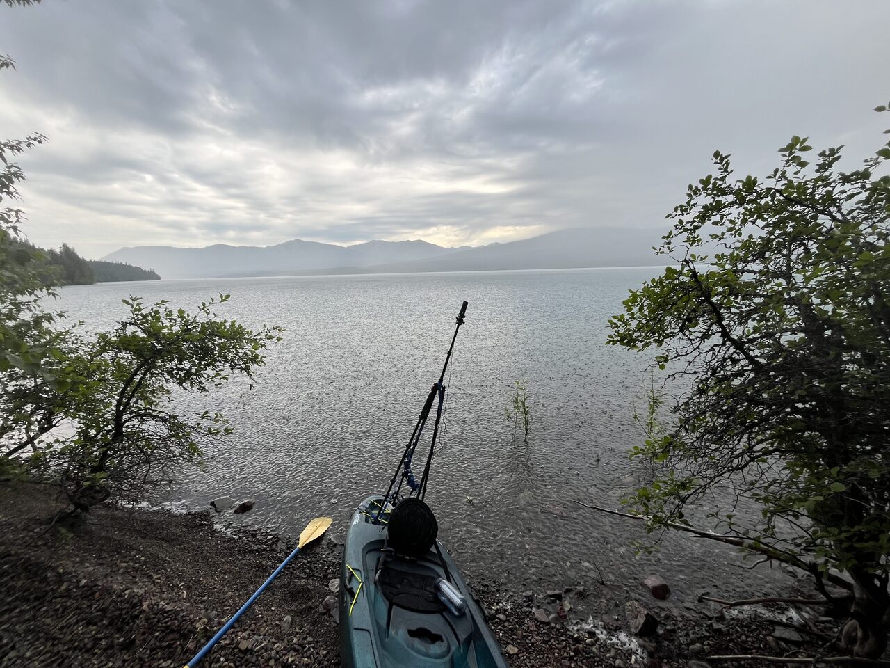
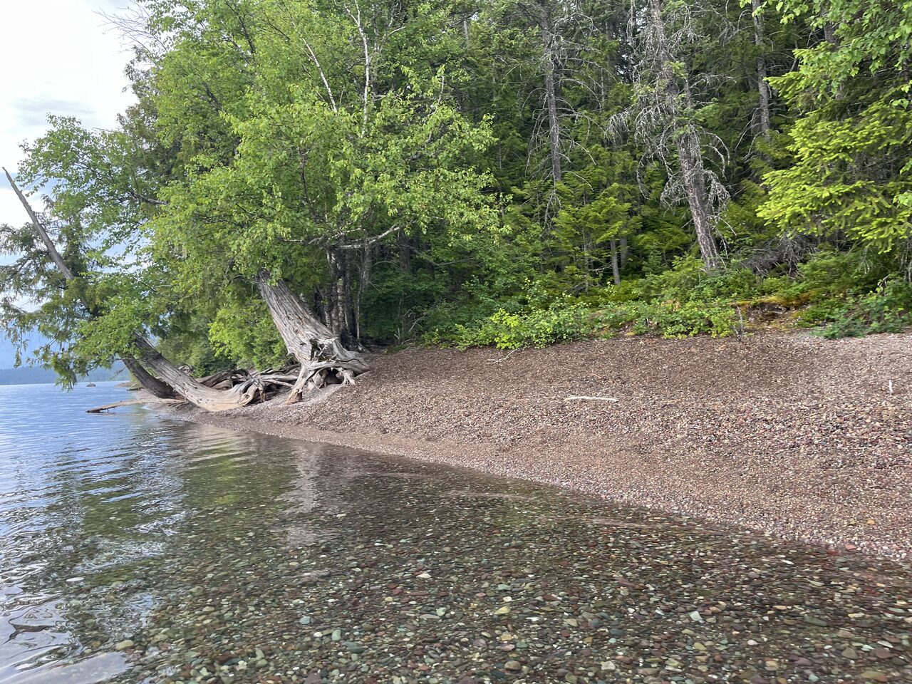
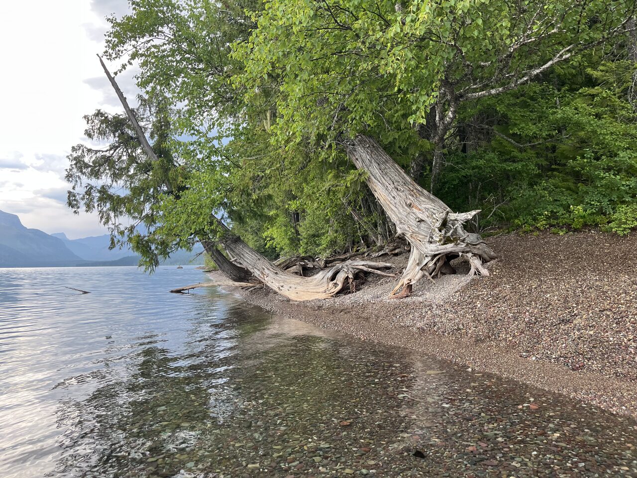
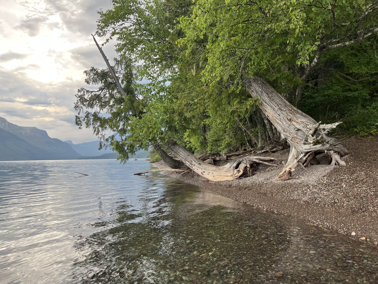
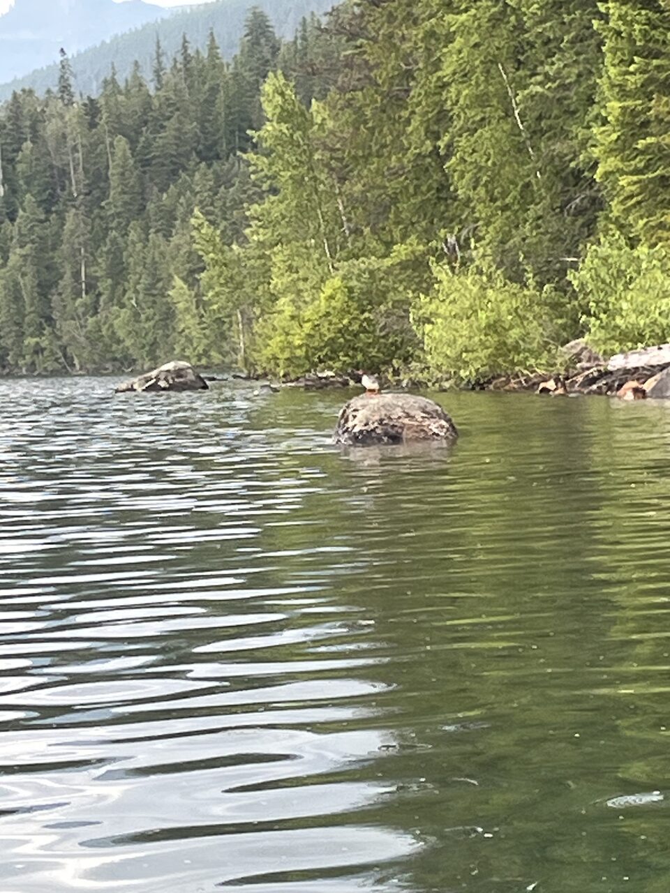
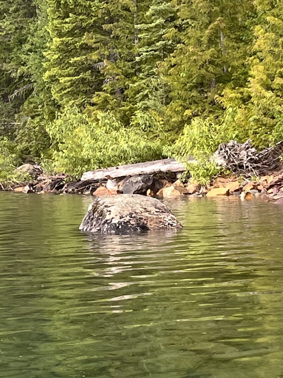
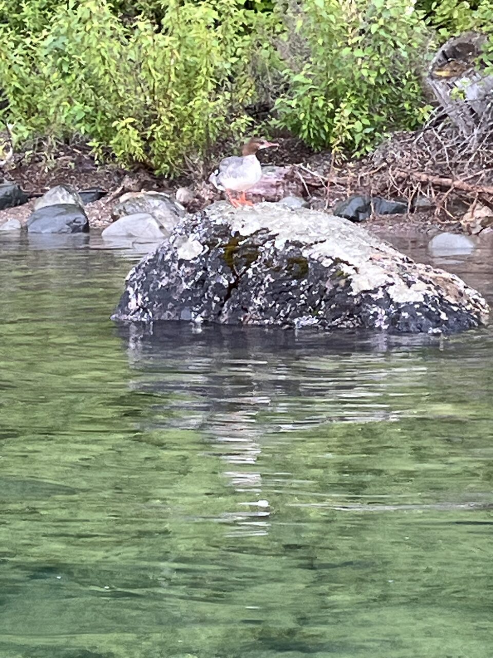
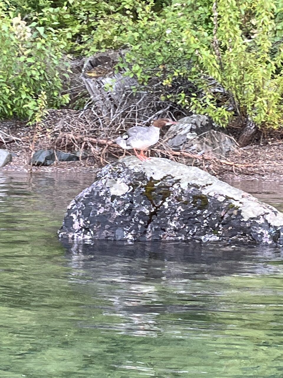
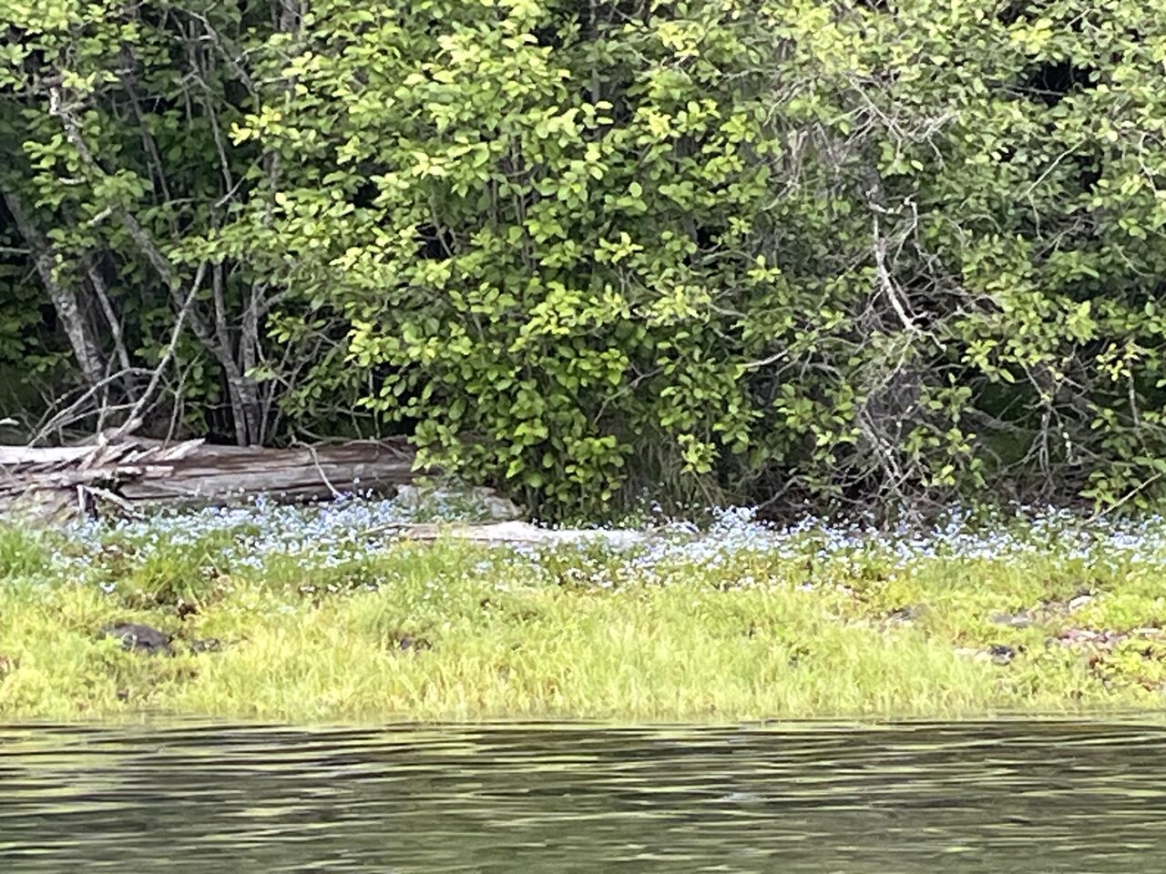
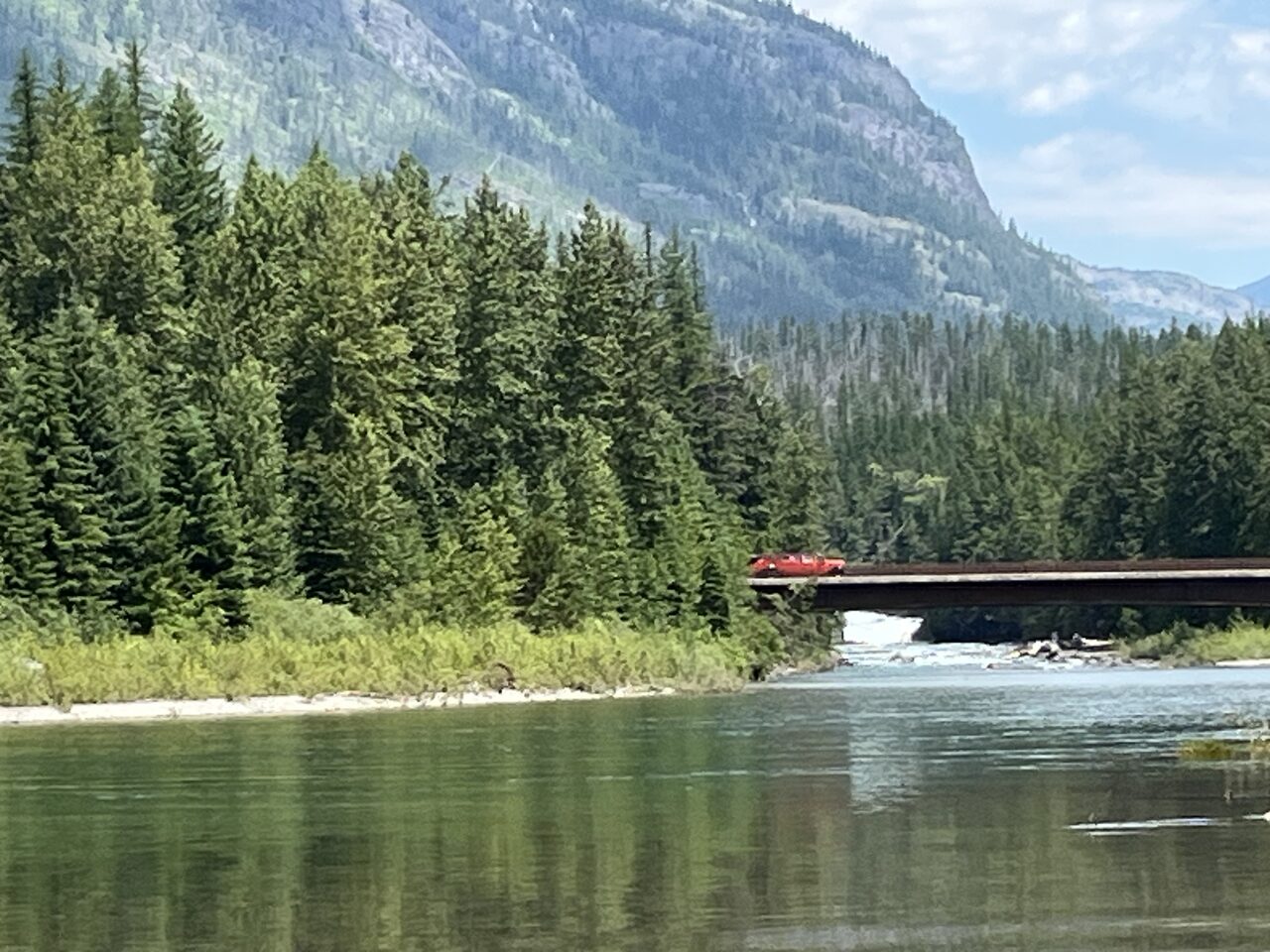
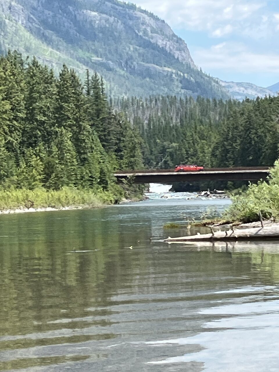
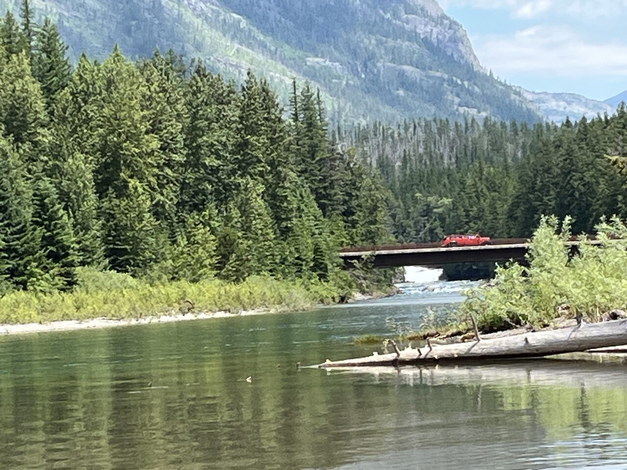
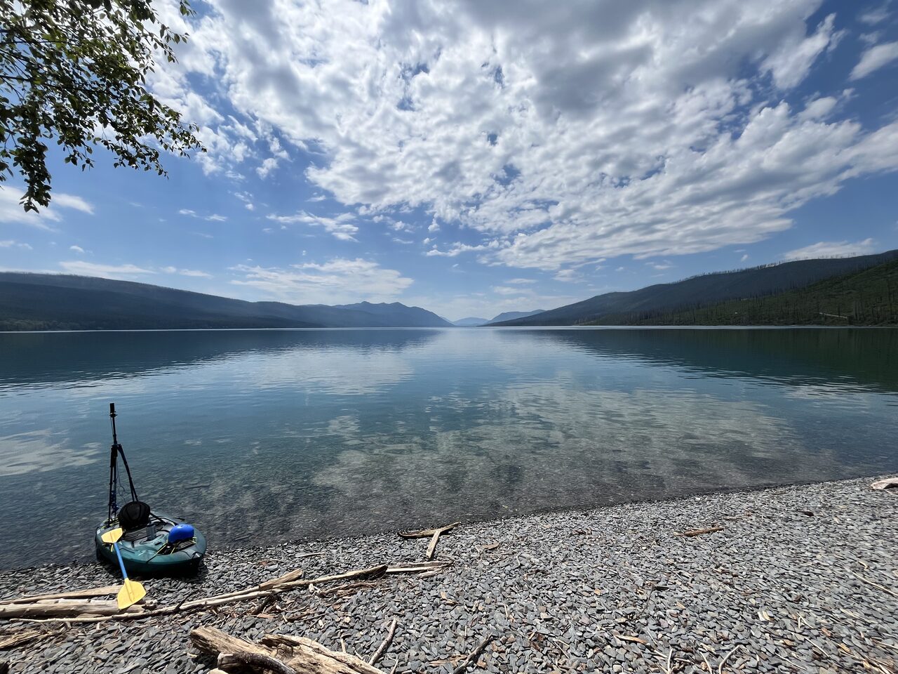
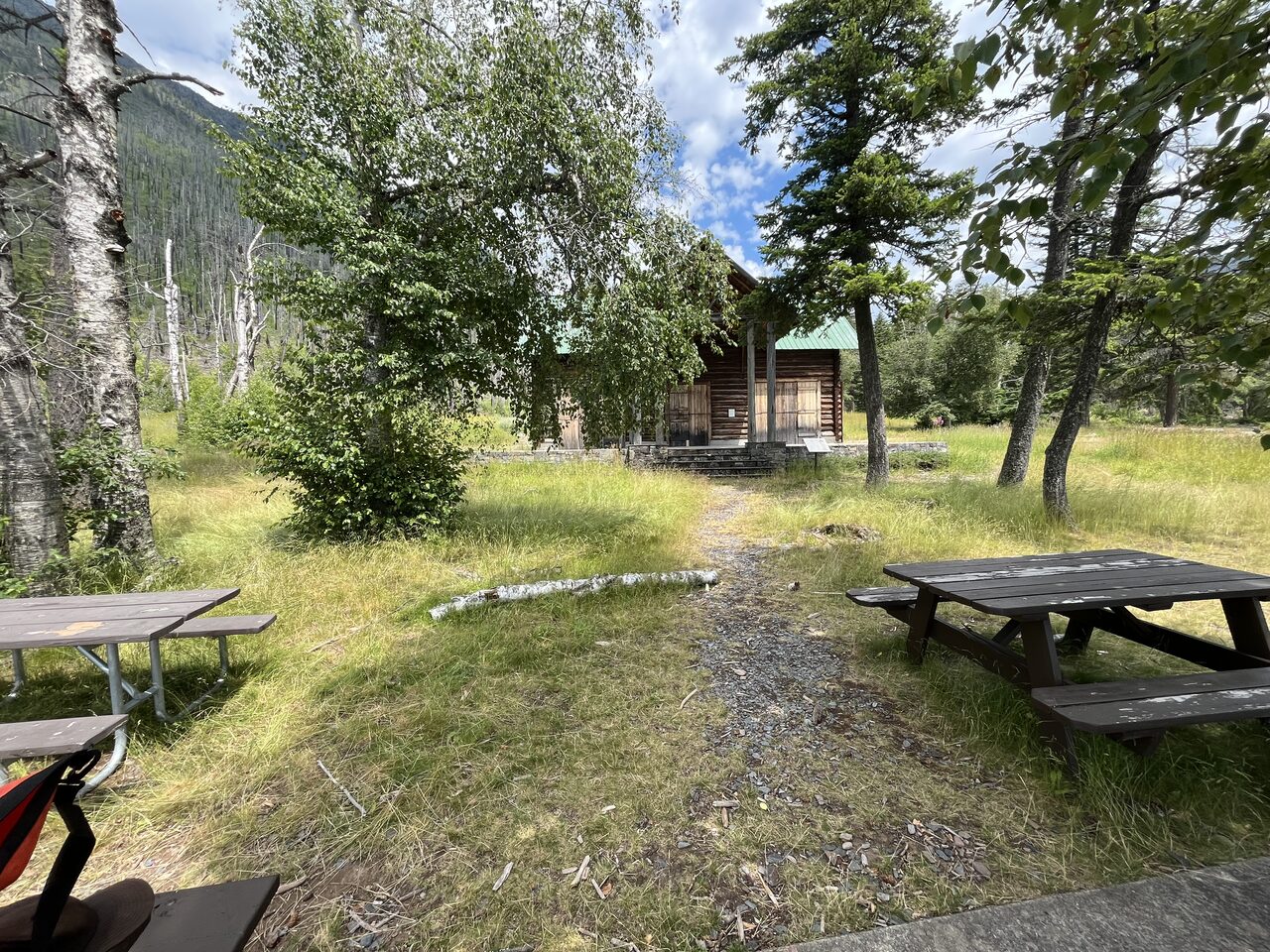
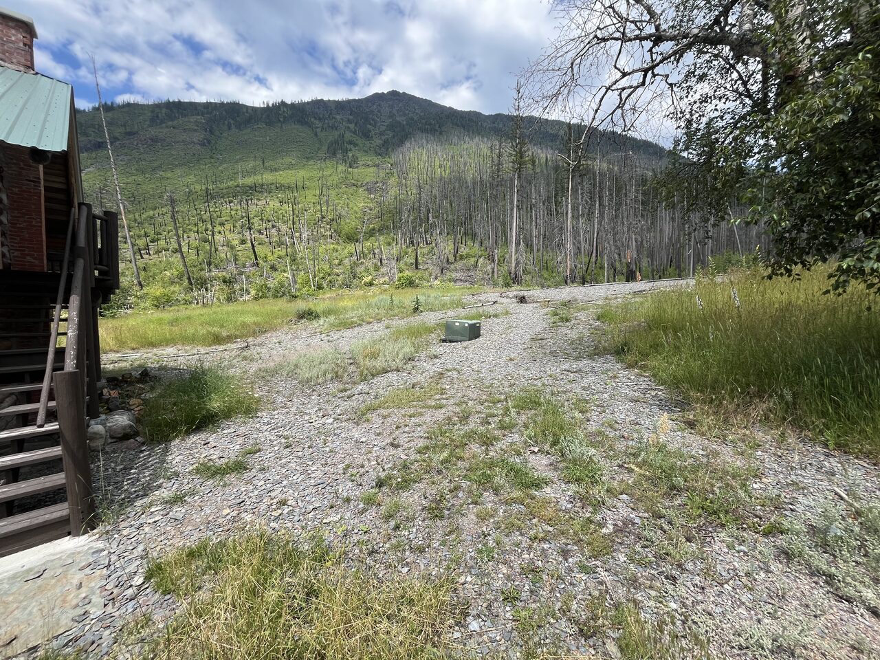
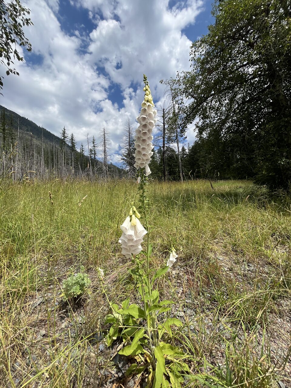
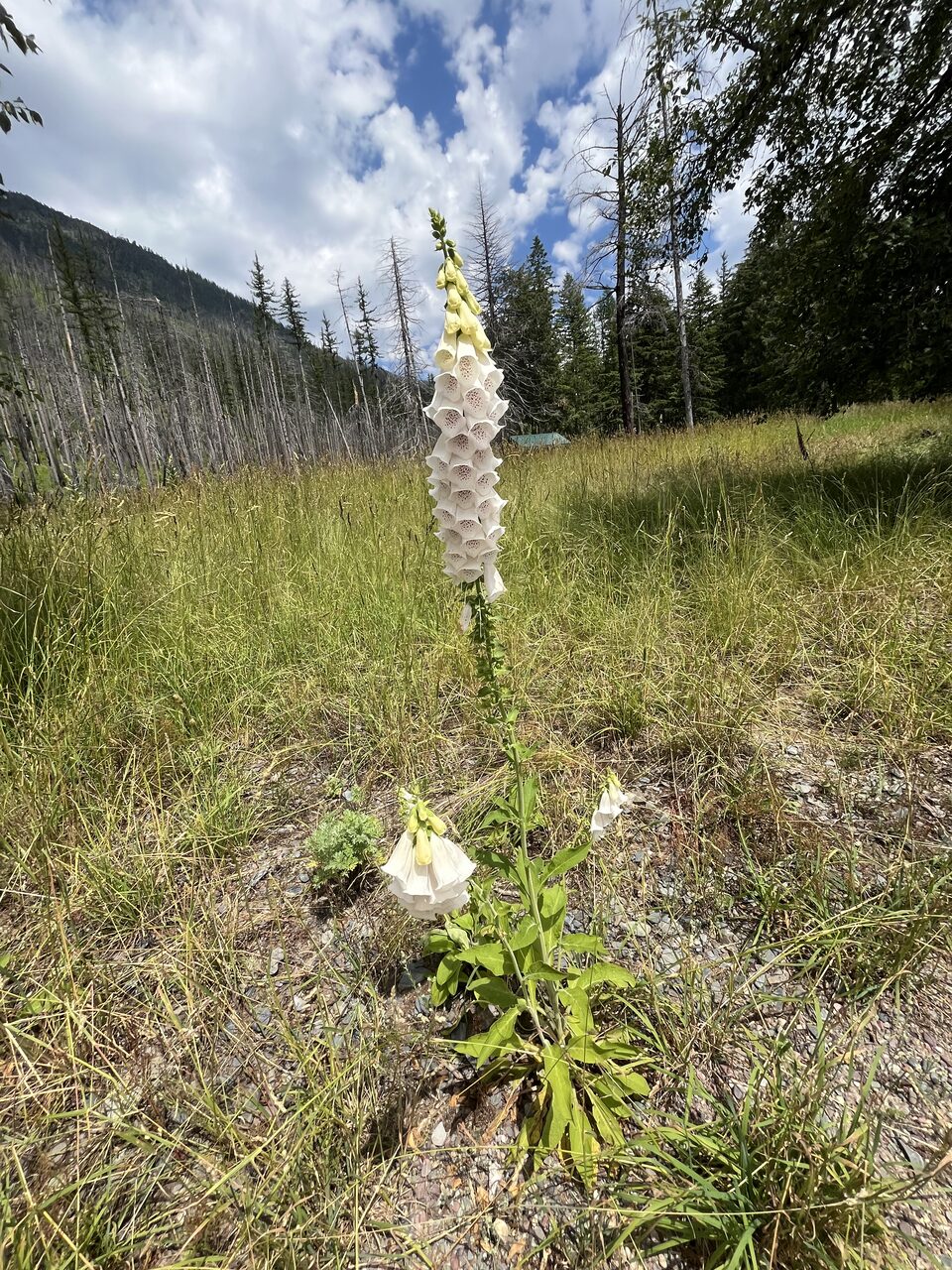
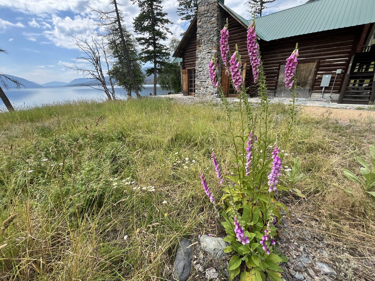
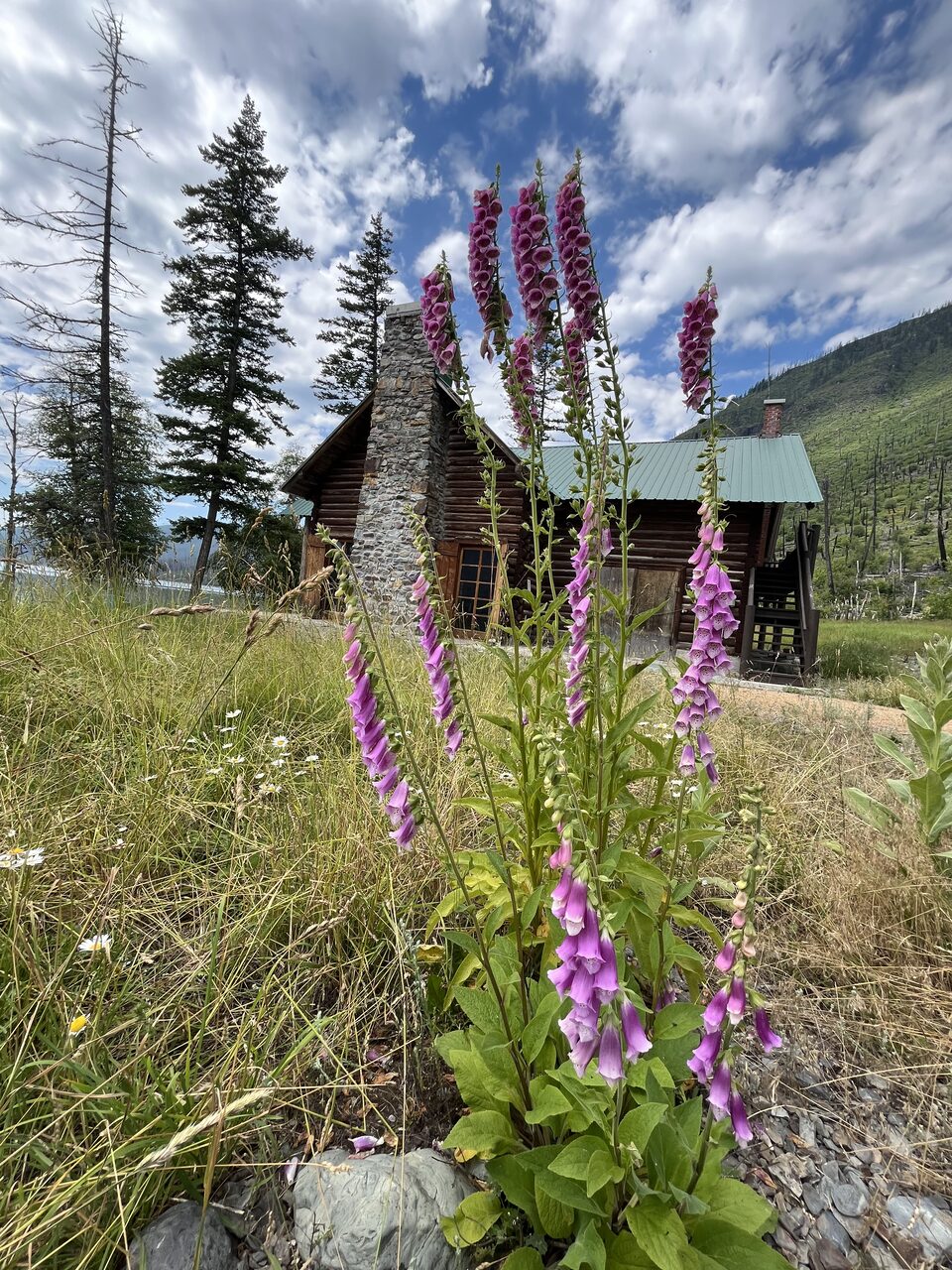
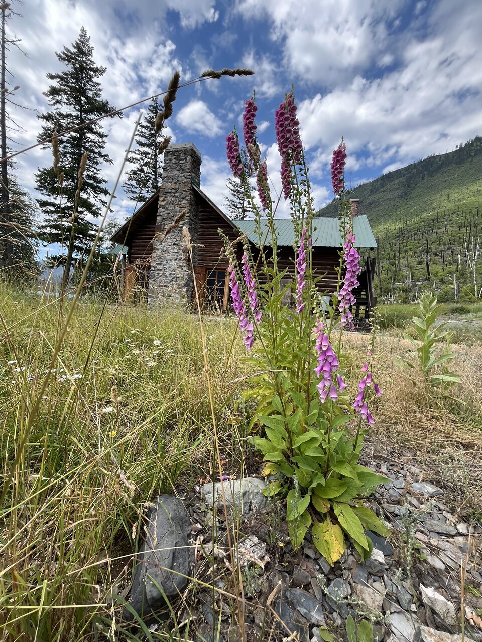
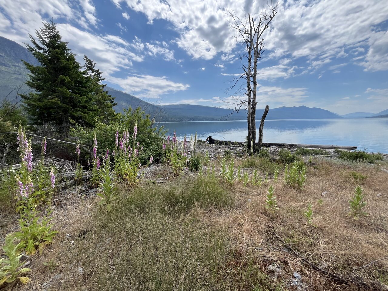
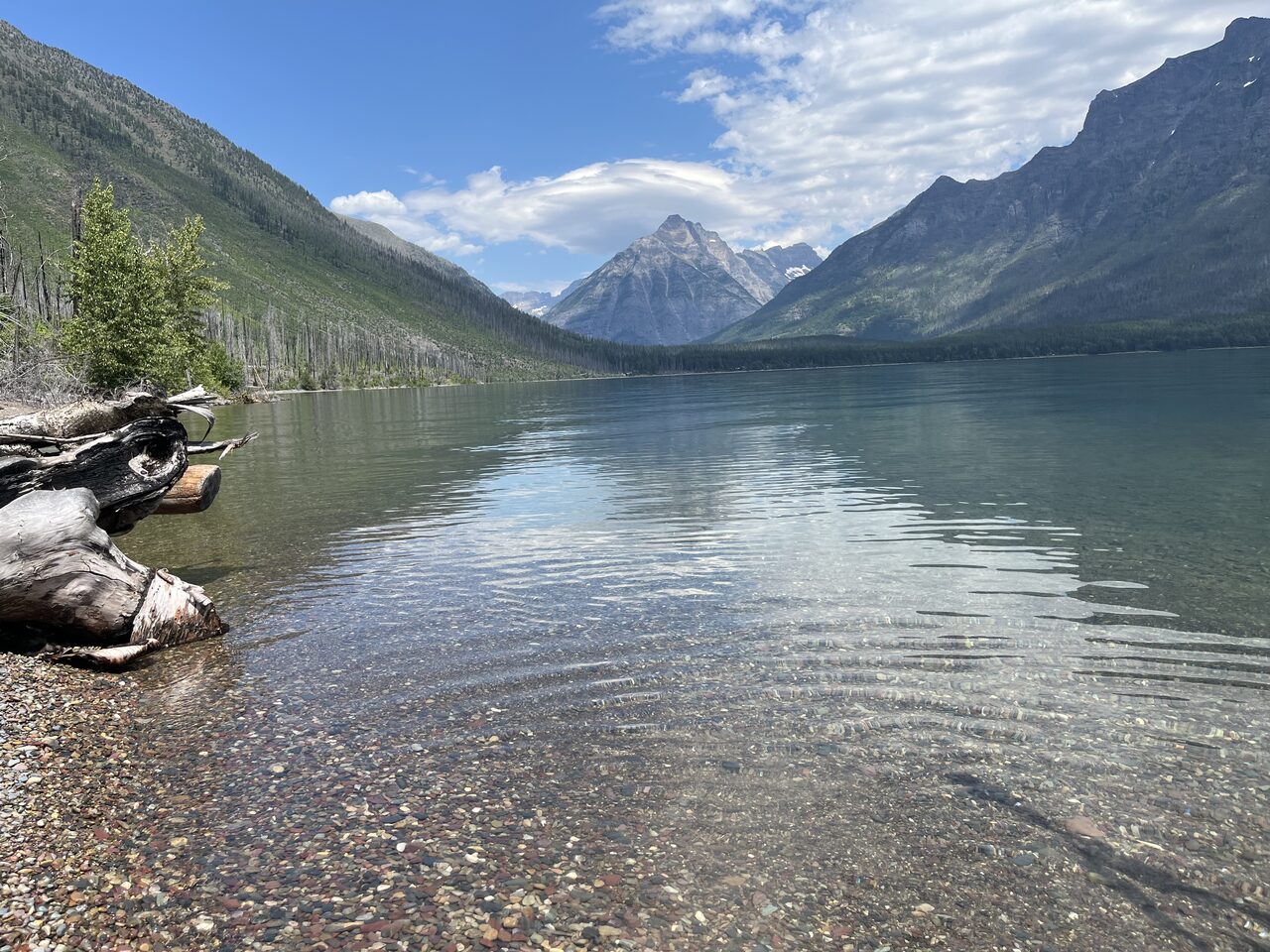
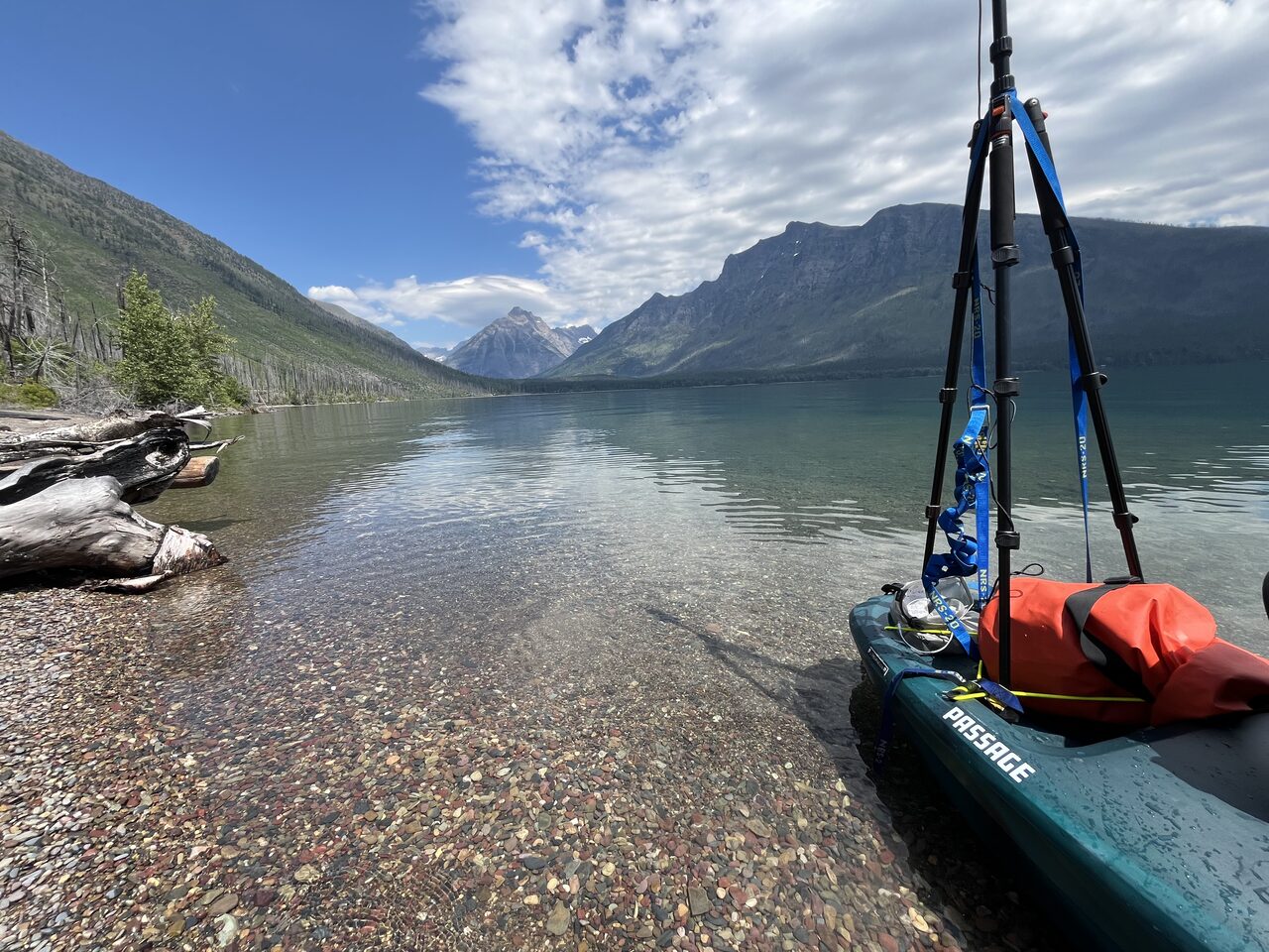
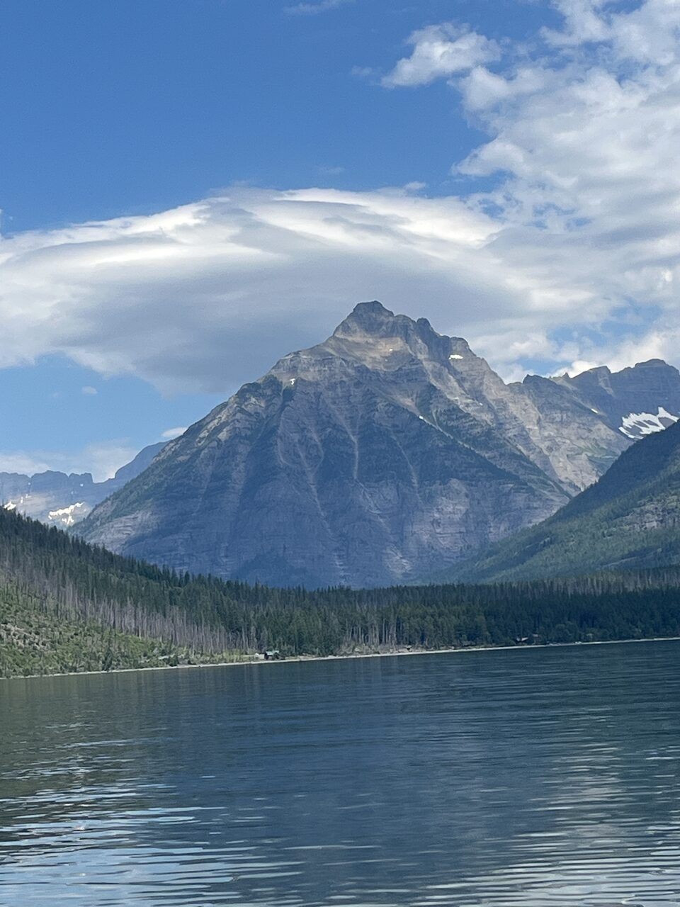
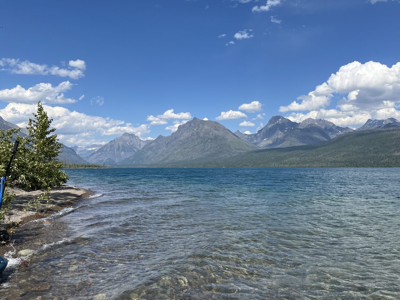
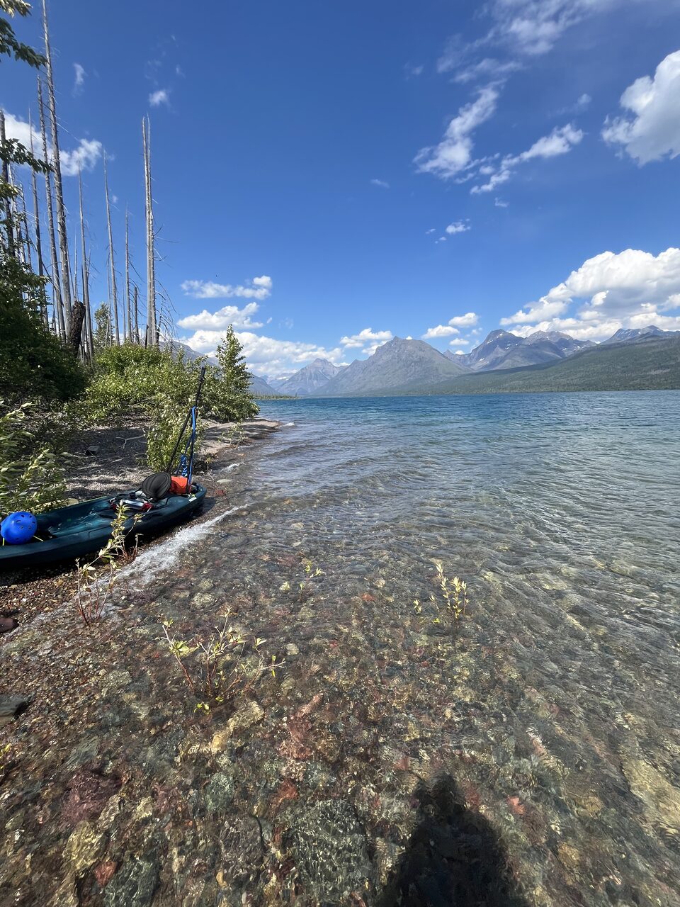
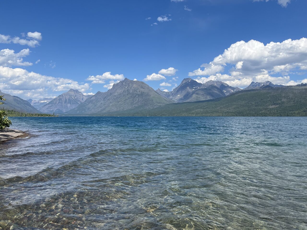
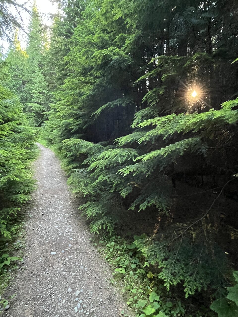
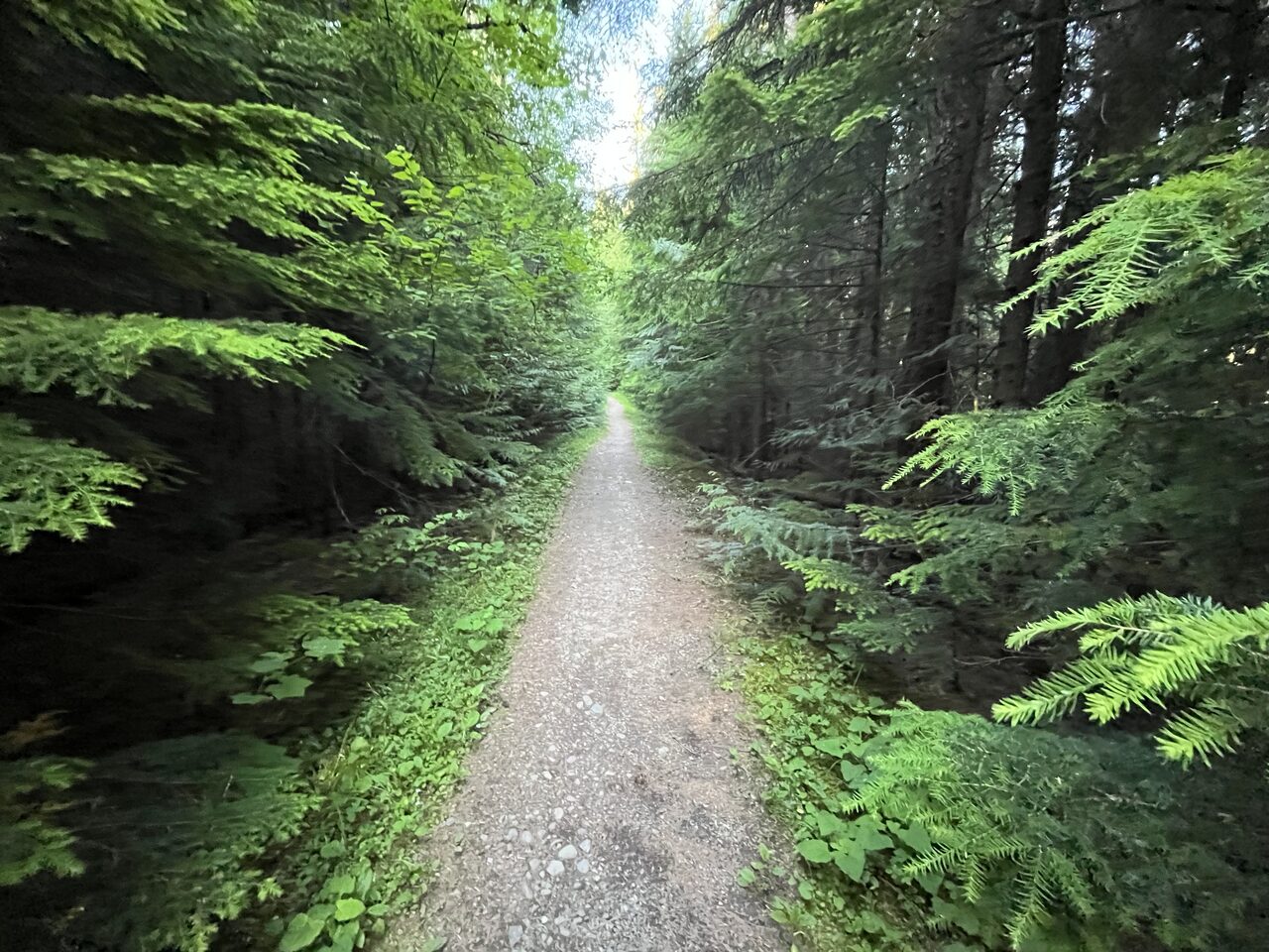
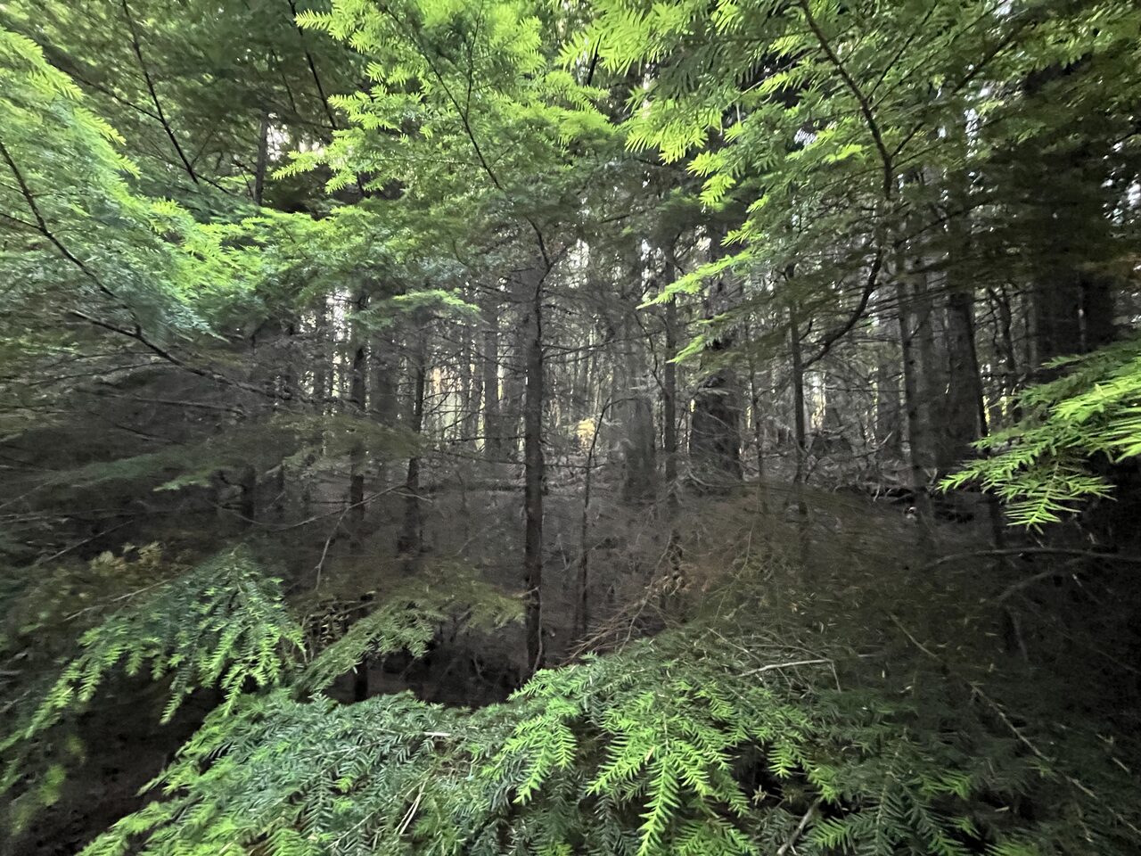
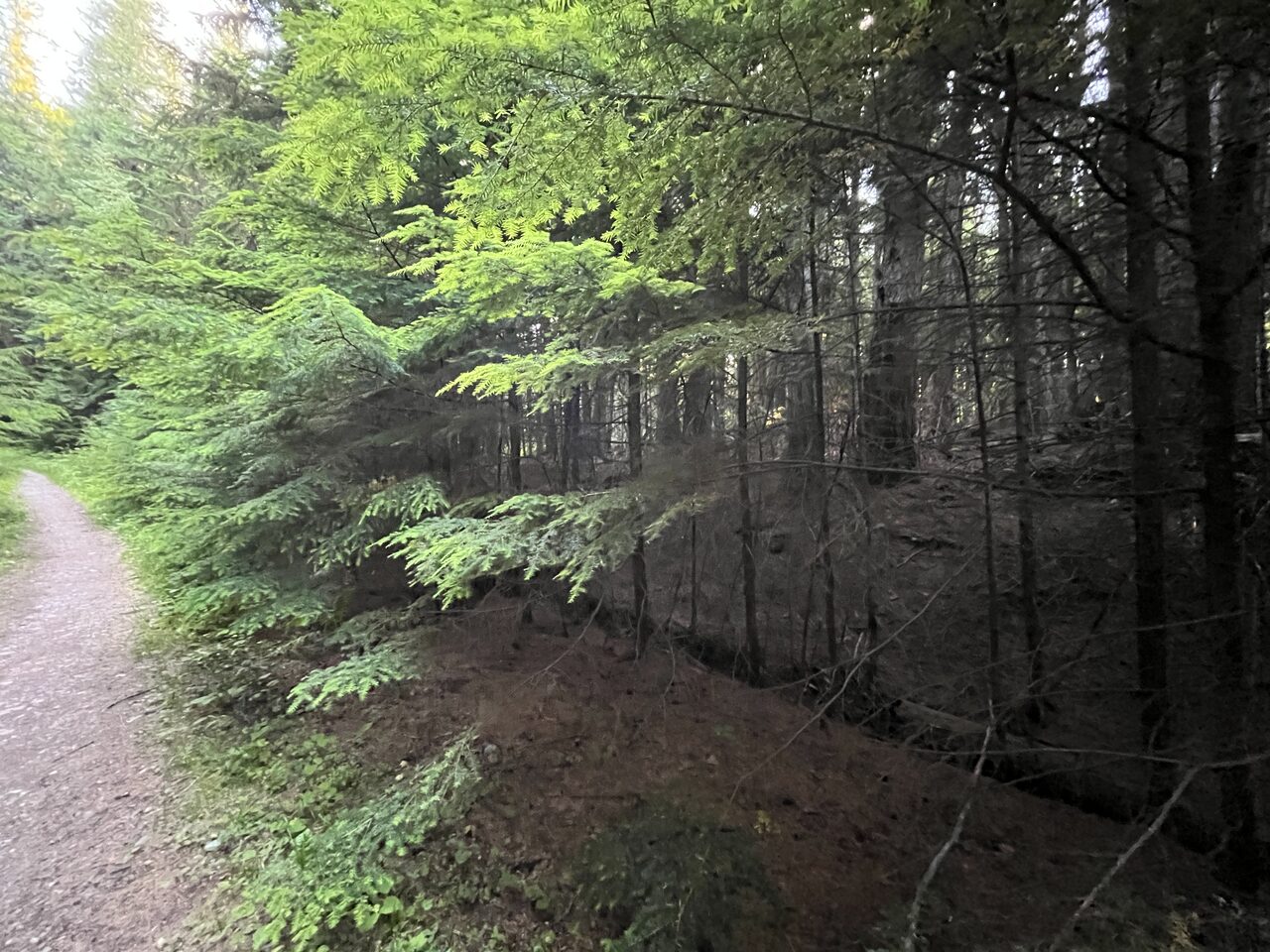
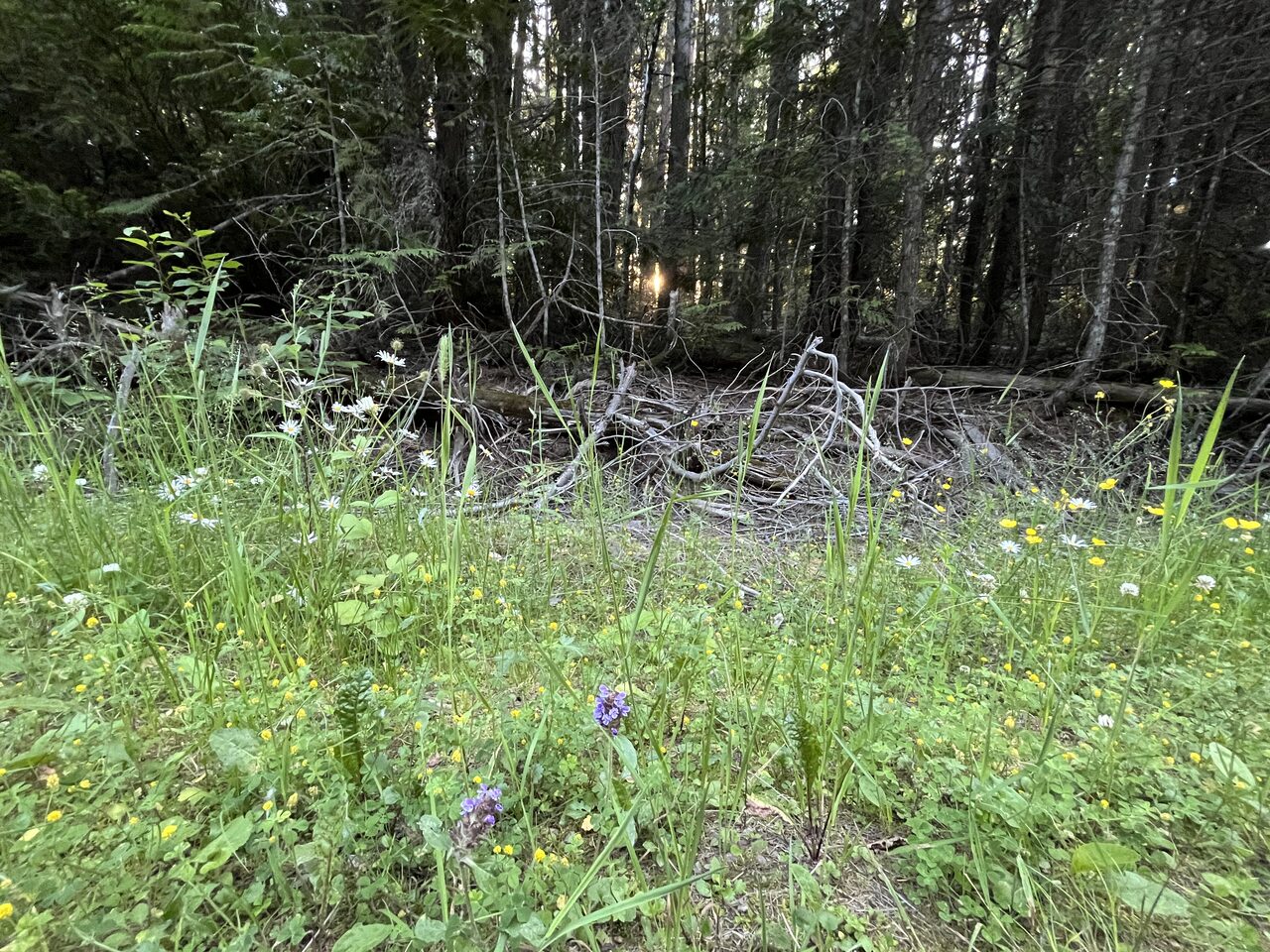
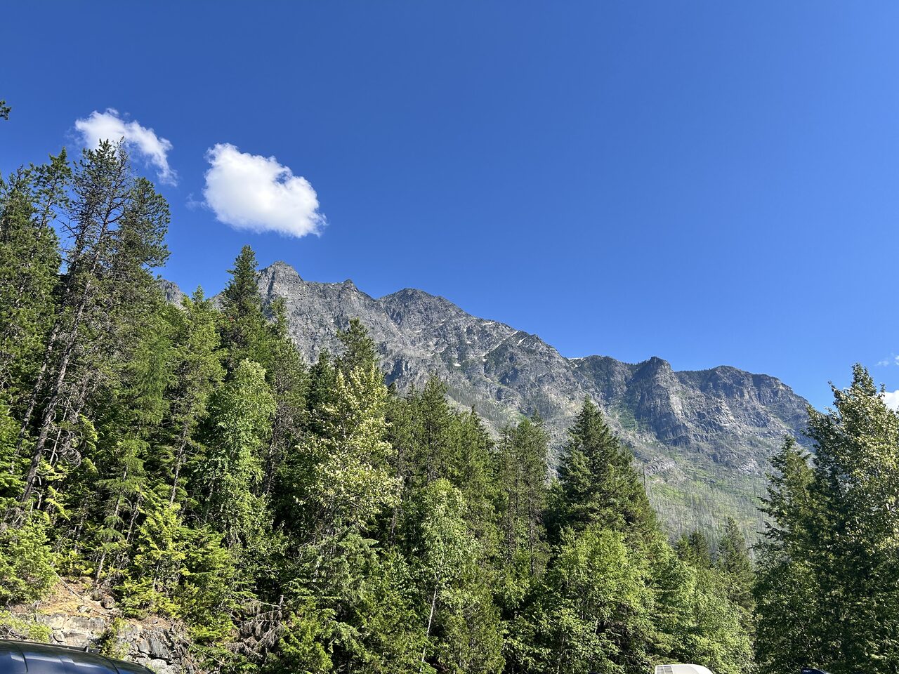
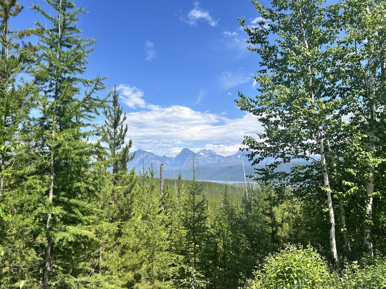
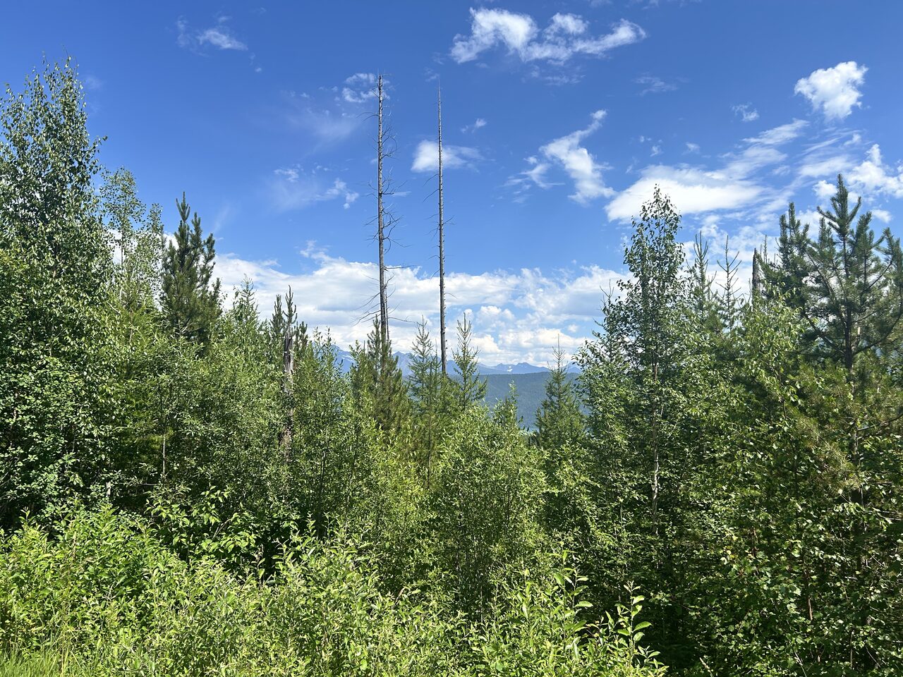
Terrain360, July 2026
The North Fork runs the park's western edge from the Canadian border to Blankenship. Glacier Rim is the last access before the confluence.
The Three Forks flow through the homelands of the Séliš, Ql̓ispé, and Ktunaxa peoples, frequented by the Amskapi Piikani. About the homelands