
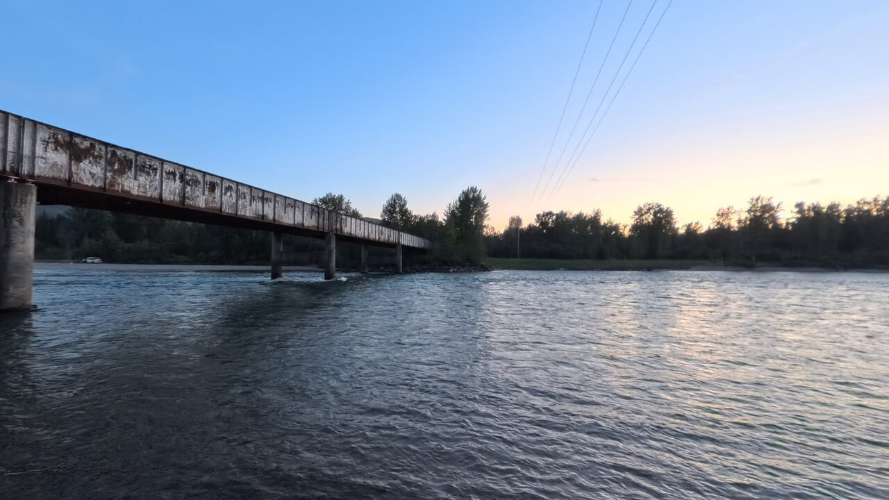
 360° · Terrain360 · Blankenship Boat Launch
The Flathead Rivers Alliance has published an access sheet for this launch, and it says the engineering statistics are not available yet. The 360 imagery is the best picture of what you will find.
Blankenship River Access (East)
The river left (east) access at Blankenship Bridge, maintained by the county, sees extremely heavy use by floaters and shore recreators. A ramp on the upstream side allows vehicle access to the cobble bar, while a dirt walking path downstream allows small craft floaters another access option.
Access concerns
Verbatim from the survey- Bar washes out completely at high water.
- Loose substrates on the cobble bar can be challenging to navigate.
- Major ruts and holes in the parking area and a road crossing to reach the vault toilet from the main float user access.
- When usage is at its peak, parallel parking along the Blankenship Road may be required.
Photographs
Terrain360 · July 2026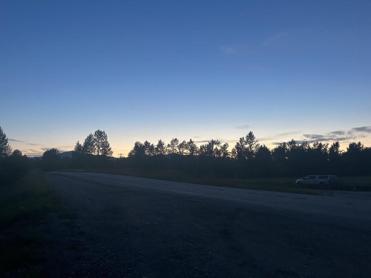
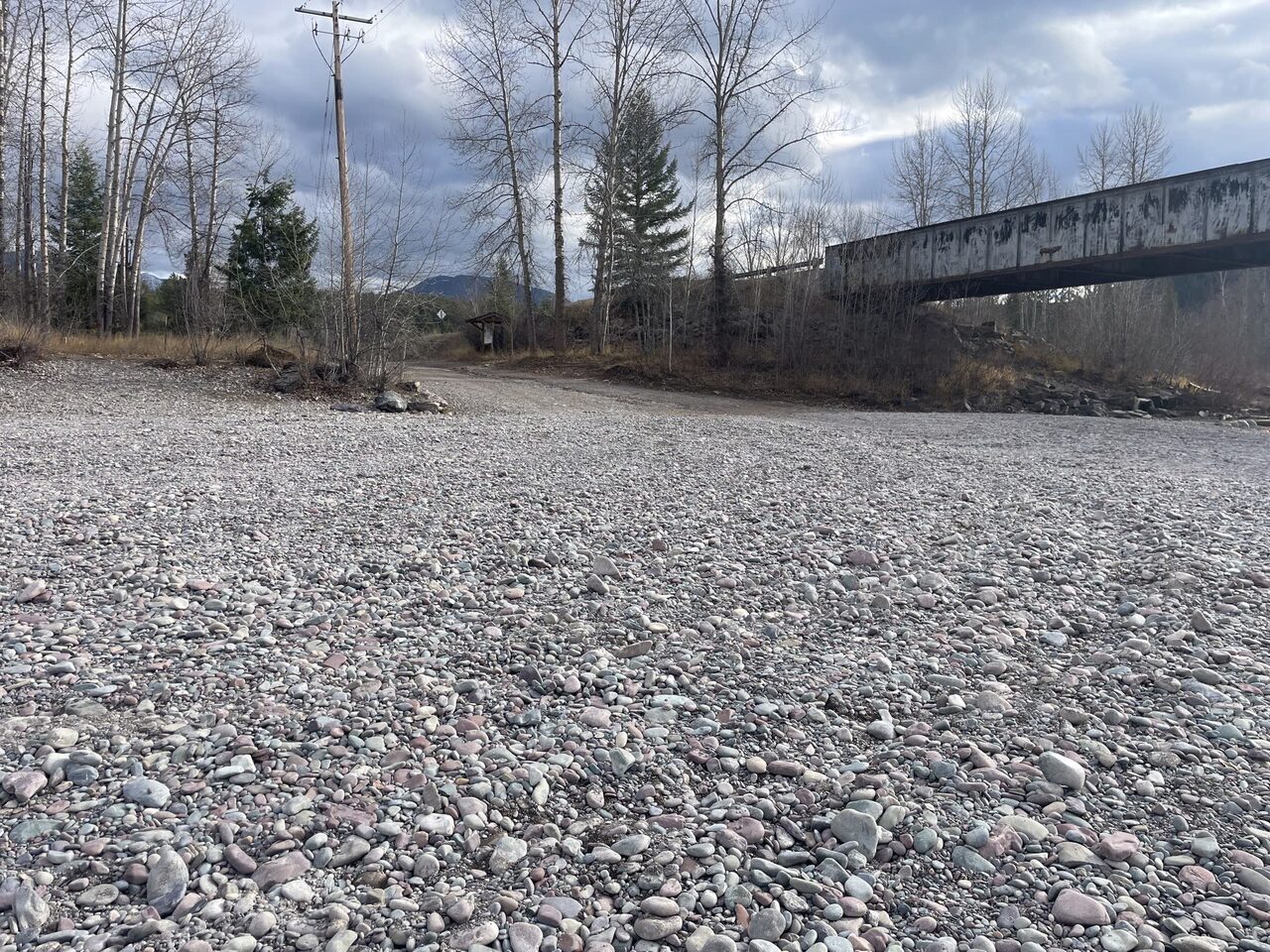
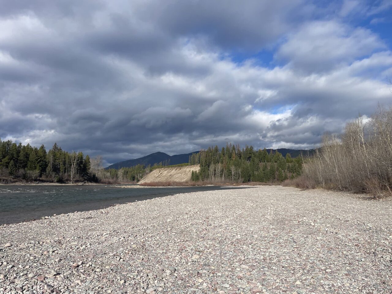
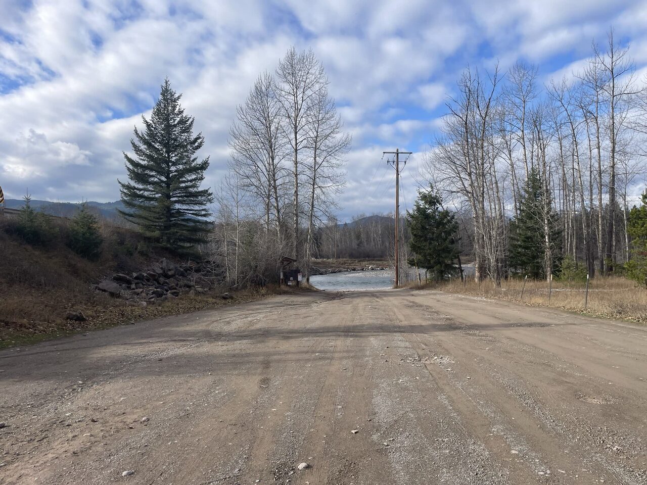
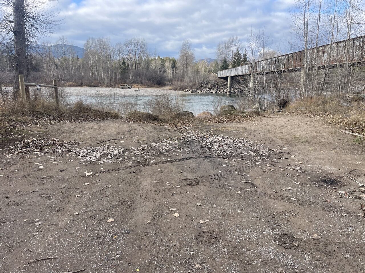
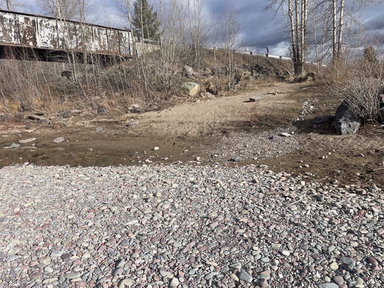
Field photography Terrain360, July 2026 · site photos courtesy Flathead Rivers Alliance
Getting there
From the Hungry Horse Ranger Station, travel 4.9 miles north on US Highway 2. Turn left onto Belton Stage Road. After 0.9 miles, take a sharp left onto Blankenship Road. In 2.8 miles, take the first right or left before the bridge.
Access site lens
Supporting evidence · FRA access sheet · Jul 2026 + 37 Terrain360 panoramasDerived from the 360 imagery, not measured on site. Where it disagrees with the survey above, the survey is correct.
Launch profile
- FRA access description
- Vehicle accessible bar Packed dirt, cobble bar
- Kayaks + canoes
- Good
- Paddleboards
- Good
- Carry to the water
- 50–150 ft
- Carry terrain
- Flat unpaved
- Carry obstacles
- Rocks, mud
Safety + condition
- Safety interpretation
- Fair
- Overall condition
- Fair
- Access hazards
- Unstable footing · Submerged hazards likely
- Water obstacles
- Rocks
- Deferred maintenance signal
- Observed
Accessibility observations
- Mobility device interpretation
- Not suitable
- Designated accessible parking
- None
- Route shown in sheet
- Not observed
- Route obstacles
- Rough surface, steep grades
- Observed barriers
- Rough surfaces, steep grades
- Accessible water feature
- Not observed
Visitor management
- Parking estimate
- Not assessable from the source imagery
- Simultaneous launch capacity
- Not assessable from the source imagery
- Launch queue evidence
- None
- Designated camping indicated
- Not assessable from the source imagery
- Registration infrastructure
- None identified in the source sheet
Experience indicators
- Setting
- Rural
- Recreation character
- Lightly managed
- Development in view
- Minor
- Social trails
- Not observed
- Informal campsite evidence
- Not observed
- Use-conflict evidence
- None observed in the source
Recreation profile
- Observed recreation
- None observed
- Water skill interpretation
- Beginner
- Physical ability interpretation
- Moderate
- Wear patterns
- Moderate
- Heavy-use signals
- Rutting, bare soil
- Privacy
- Visible
360° sequence evidence
Coverage + route
- Assigned coverage
- 37 panoramas across 3 capture sessions
- Scene roles
- Approach (4) · Launch area (14) · Parking (4) · Transition path (15)
Visible conditions
- Surfaces by scene
- Dirt path (1) · Gravel lot (11) · Gravel path (10) · Natural (6) · Paved path (9)
- Safety classification
- Caution (7) · No visible hazard (30)
Setting + use
- Crowding by scene
- Light (12) · None visible (25)
- Naturalness by scene
- High (21) · Moderate (16)
Hazards observed
Curated RAPG fields are interpreted from the FRA access sheet and its photographs; sequence evidence summarizes only the assigned panoramas. Conditions may extend beyond every photographed view. FRA’s field measurements in the Measured access card remain the authority for access type, grades, widths, surfaces, gaps, and accessible parking.
Neighbor sites
The river flows this way → ‹ Upstream put-in
Blankenship River Access (West)
‹ Upstream put-in
Blankenship River Access (West)
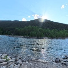 Bear Creek
RM 53.4 · 3,822 ft
Scene 18 · at the water
Bear Creek
RM 53.4 · 3,822 ft
Scene 18 · at the water
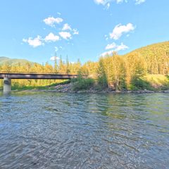 Essex
RM 48.7 · 3,704 ft
Scene 26 · at the water
Essex
RM 48.7 · 3,704 ft
Scene 26 · at the water
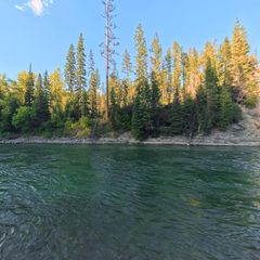 Paola
RM 41.6 · 3,571 ft
Scene 19 · at the water
Paola
RM 41.6 · 3,571 ft
Scene 19 · at the water
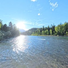 Cascadilla
RM 30.6 · 3,381 ft
Scene 20 · at the water
Cascadilla
RM 30.6 · 3,381 ft
Scene 20 · at the water
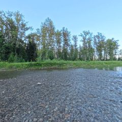 Moccasin Creek
RM 23 · 3,281 ft
Scene 29 · at the water
Moccasin Creek
RM 23 · 3,281 ft
Scene 29 · at the water
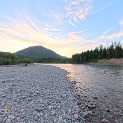 West Glacier
RM 14.9 · 3,150 ft
Scene 22 · at the water
West Glacier
RM 14.9 · 3,150 ft
Scene 22 · at the water
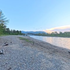 Blankenship River Access (West)
RM 9.5 · 3,101 ft
Blankenship River Access (West)
RM 9.5 · 3,101 ft
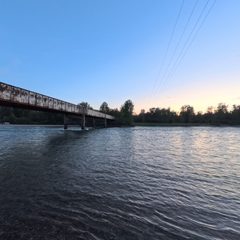 Blankenship River Access (East)
RM 9.4 · 3,100 ft
Scene 11 · at the water
Blankenship River Access (East)
RM 9.4 · 3,100 ft
Scene 11 · at the water
Elevation sampled from USGS 10m along the Wild & Scenic centerline. Hover or focus a site to see the panorama closest to the water.
The river system flows through the traditional homelands of the Ql'ispe (Kalispel or Pend d' Orielle) Ktunaxa/Ksanka (Kootenai), and Séliš (Salish or "Flathead") Nations, who have long cared for this landscape, and the Amskapii Pikuni (Blackfeet) Peoples who often traveled in the river corridor.
About the homelands FRA's own acknowledgment language appears here verbatim.