
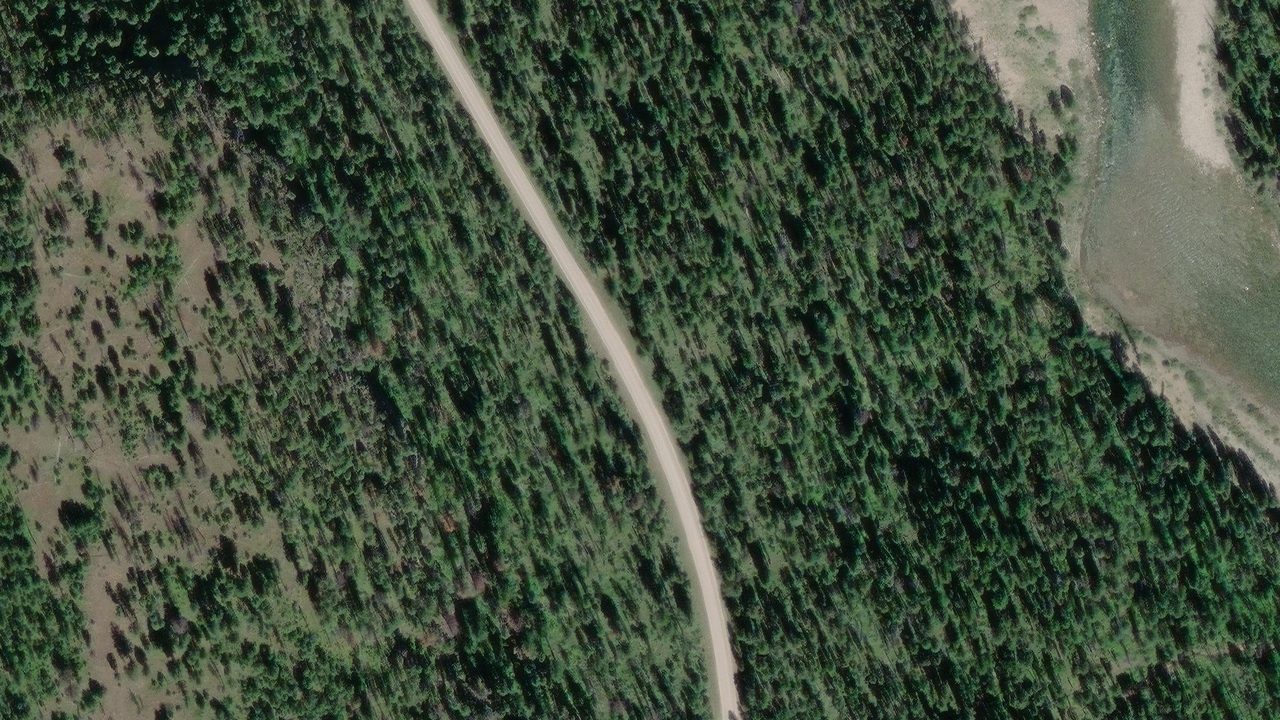
 Satellite · Esri, Maxar, Earthstar Geographics
The Flathead Rivers Alliance has published an access sheet for this launch, and it says the engineering statistics are not available yet. Read FRA's description and view the site photographs in the linked access sheet below.
Cedar Flats River Access
Below Meadow Creek Gorge, a strenuous quarter-mile trail descends to the river through four stair sections with 219 steps. Sand and large cobbles border the water. The small roadside pullout has limited room for cars and trailers.
FRA access sheet
August 2026Flathead Rivers Alliance's sheet includes three site photographs and its full access description. Engineering statistics are not available yet.
The sheet lists RM 55.5; this guide currently uses RM 55.8. Confirm the river-mile reference with FRA when planning distances.
View the access sheet and photographsAccess concerns
From FRA’s August 2026 sheet- The steep approach has four stair sections. At low water, reaching the river also requires carrying or dragging a boat across uneven cobbles and pebbles. FRA describes this as a highly strenuous access site.
Getting there
From Hungry Horse, turn south off US Highway 2 onto the East Side Reservoir Road, Forest Road 38, half a mile east of town, and drive through Martin City. The pavement ends after two miles. Stay on the gravel 53 miles to the junction with the West Side Reservoir Road, Forest Road 895, turn right and go 1.5 miles to the Meadow Creek Road, Forest Road 2826, then turn left. The marked pull off is near milepost 11, and the river is a steep quarter-mile foot trail below it. Forest Road 38 closes between mileposts 37 and 53 from December 1 to May 14 for winter wildlife.
Access-site lens
No assigned Terrain360 panorama sequence or reviewed FRA assessment sheet is available for this access site in the current release. This is a coverage gap, not a finding about site conditions.
Neighbor sites
The river flows this way →The river system flows through the traditional homelands of the Ql'ispe (Kalispel or Pend d' Orielle) Ktunaxa/Ksanka (Kootenai), and Séliš (Salish or "Flathead") Nations, who have long cared for this landscape, and the Amskapii Pikuni (Blackfeet) Peoples who often traveled in the river corridor.
About the homelands FRA's own acknowledgment language appears here verbatim.