 360° · Terrain360 · Hungry Horse HWY 2 Bridge Boat Launch
No access sheet has been published for this launch. The 360 imagery is the best picture of what you will find.
Hungry Horse HWY 2 Bridge Boat Launch
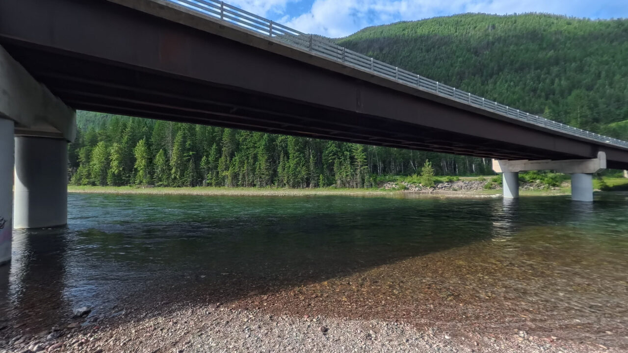
A launch at the US Highway 2 bridge over the main stem Flathead, just below where the South Fork comes in. Captured in July 2026.
The Flathead Rivers Alliance has not published measured access details for this site yet.
Photographs
Terrain360 · July 2026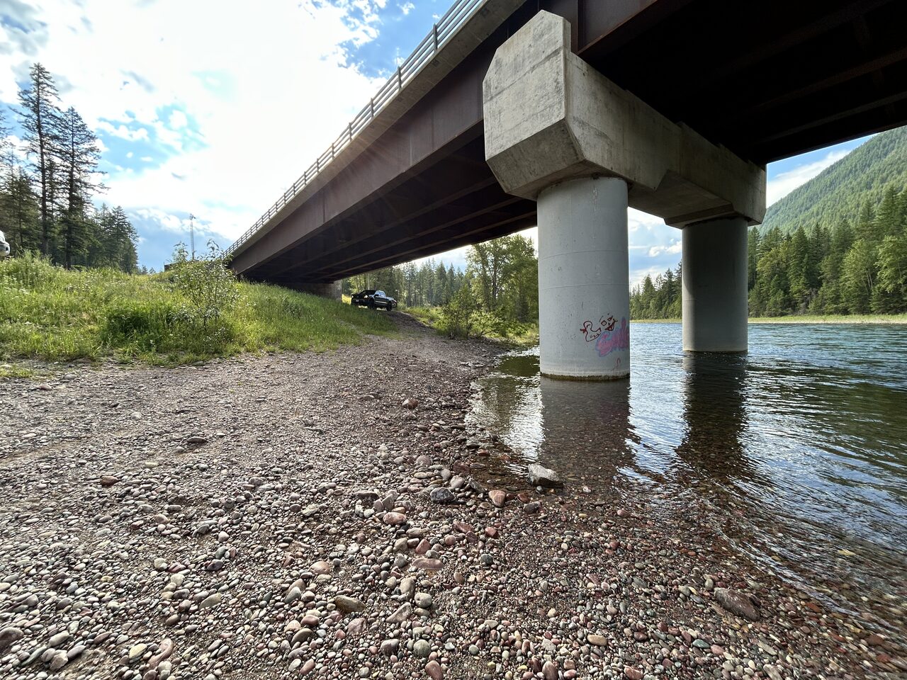
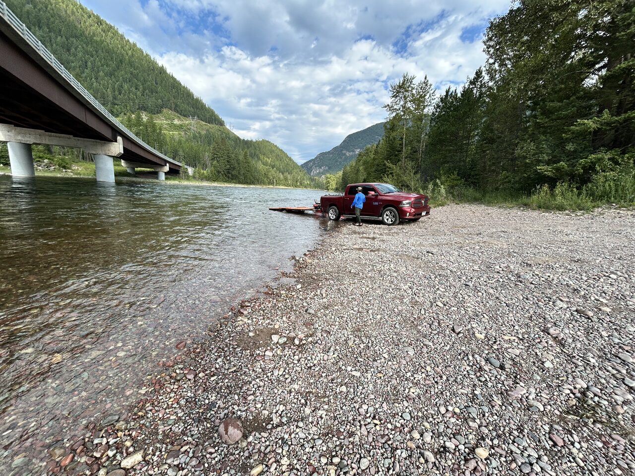
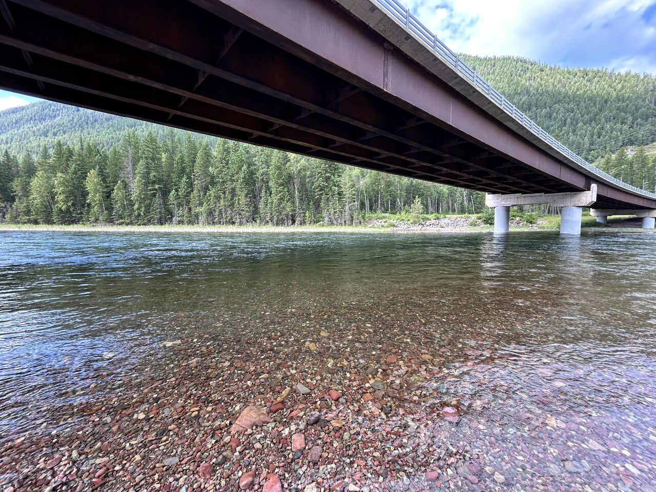
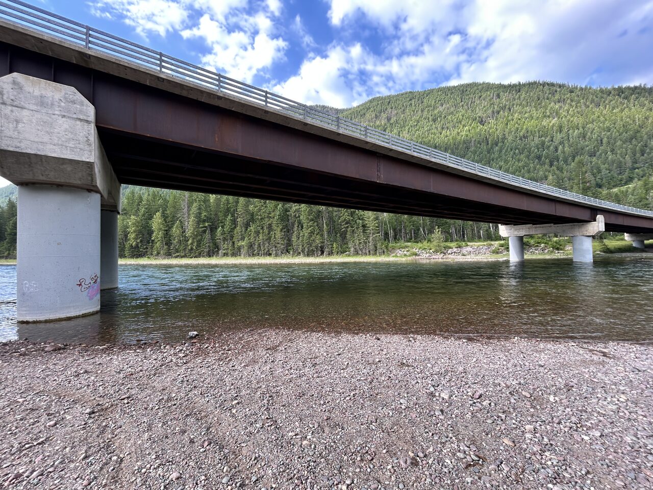
Field photography Terrain360, July 2026 · site photos courtesy Flathead Rivers Alliance
Getting there
On US Highway 2 at the bridge over the main stem Flathead, at the west end of Hungry Horse and just below the South Fork confluence.
Access site lens
Supporting evidence · 11 Terrain360 panoramasDerived from the 360 imagery, not measured on site. Where it disagrees with the survey above, the survey is correct.
360° sequence evidence
Coverage + route
- Assigned coverage
- 11 panoramas across 1 capture session
- Scene roles
- Approach (2) · Launch area (4) · Transition path (5)
Visible conditions
- Surfaces by scene
- Gravel lot (3) · Gravel path (6) · Paved path (2)
- Safety classification
- No visible hazard (11)
Setting + use
- Crowding by scene
- Light (5) · None visible (6)
- Naturalness by scene
- High (10) · Moderate (1)
Sequence evidence summarizes only the assigned panoramas and is not a complete site inventory. This site has no corresponding FRA assessment sheet in this export; do not treat scene classifications as field measurements or as evidence of site-wide absence.
Neighbor sites
The river flows this way →The river system flows through the traditional homelands of the Ql'ispe (Kalispel or Pend d' Orielle) Ktunaxa/Ksanka (Kootenai), and Séliš (Salish or "Flathead") Nations, who have long cared for this landscape, and the Amskapii Pikuni (Blackfeet) Peoples who often traveled in the river corridor.
About the homelands FRA's own acknowledgment language appears here verbatim.